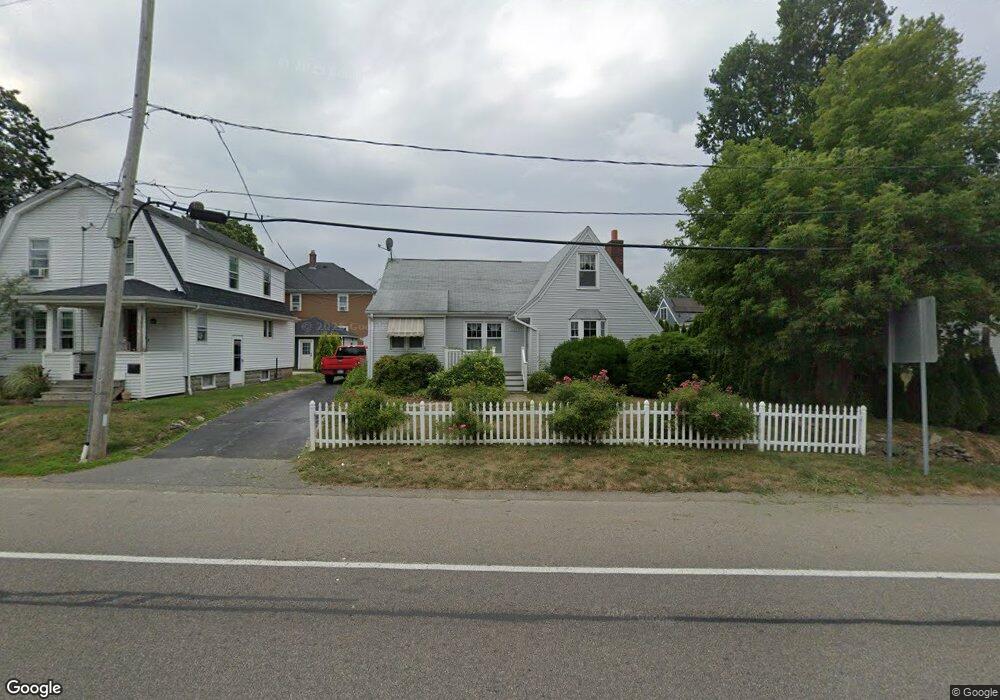
1003 Riverside Ave Somerset, MA 02726
Brayton Point NeighborhoodEstimated Value: $402,548 - $440,000
2
Beds
1
Bath
861
Sq Ft
$497/Sq Ft
Est. Value
About This Home
This home is located at 1003 Riverside Ave, Somerset, MA 02726 and is currently estimated at $427,887, approximately $496 per square foot. 1003 Riverside Ave is a home located in Bristol County with nearby schools including Chace Street School, Somerset Middle School, and St. Michael's School.
Ownership History
Date
Name
Owned For
Owner Type
Purchase Details
Closed on
Sep 29, 1992
Sold by
Mulrooney Judith A and Pelletier Thomas R
Bought by
Maiato Linda M
Current Estimated Value
Purchase Details
Closed on
Sep 25, 1991
Sold by
Clarke Ernine V
Bought by
Pelletier Mulrooney Judith A and Thos R Pelletier
Create a Home Valuation Report for This Property
The Home Valuation Report is an in-depth analysis detailing your home's value as well as a comparison with similar homes in the area
Home Values in the Area
Average Home Value in this Area
Purchase History
| Date | Buyer | Sale Price | Title Company |
|---|---|---|---|
| Maiato Linda M | $106,000 | -- | |
| Maiato Linda M | $106,000 | -- | |
| Pelletier Mulrooney Judith A | $100,000 | -- | |
| Mulrooney Judith A | $100,000 | -- |
Source: Public Records
Mortgage History
| Date | Status | Borrower | Loan Amount |
|---|---|---|---|
| Open | Mulrooney Judith A | $224,100 | |
| Closed | Mulrooney Judith A | $185,000 | |
| Closed | Mulrooney Judith A | $139,700 |
Source: Public Records
Tax History Compared to Growth
Tax History
| Year | Tax Paid | Tax Assessment Tax Assessment Total Assessment is a certain percentage of the fair market value that is determined by local assessors to be the total taxable value of land and additions on the property. | Land | Improvement |
|---|---|---|---|---|
| 2025 | $4,680 | $351,900 | $168,100 | $183,800 |
| 2024 | $4,409 | $344,700 | $168,100 | $176,600 |
| 2023 | $3,782 | $298,300 | $139,800 | $158,500 |
| 2022 | $3,482 | $262,000 | $120,200 | $141,800 |
| 2021 | $3,503 | $238,600 | $108,400 | $130,200 |
| 2020 | $3,452 | $218,500 | $108,200 | $110,300 |
| 2019 | $3,269 | $208,900 | $108,200 | $100,700 |
| 2018 | $3,283 | $193,600 | $100,400 | $93,200 |
| 2017 | $2,905 | $183,900 | $95,300 | $88,600 |
| 2016 | $3,220 | $183,900 | $95,300 | $88,600 |
| 2015 | $3,010 | $173,500 | $90,700 | $82,800 |
| 2014 | $4,079 | $168,900 | $90,700 | $78,200 |
Source: Public Records
Map
Nearby Homes
- 1496 Riverside Ave
- 34 Doherty Ave
- 66 Meadow Ln
- 82 Wellington St
- 82 Perry Ave
- 80 Meadow Ln
- 96 Wellington St
- 95 Caroline Ave
- 21 Bradley Ave
- 297 Lindsey St
- 8 Tower Hill Rd
- 105 Cornhill Rd
- 84 Cory St
- 337 Lepes Rd
- 1556 N Main St Unit 7
- 1928 N Main St Unit 4
- 24 Knapp St
- 81 N Court St
- 302 Cory St
- 195 Crescent St Unit 2
- 995 Riverside Ave
- 144 Newhill Ave
- 1029 Riverside Ave
- 1022 Riverside Ave
- 111 Westhill Ave
- 160 Newhill Ave
- 68 Newhill Ave
- 125 Westhill Ave
- 60 Newhill Ave
- 1046 Riverside Ave
- 43 Westhill Ave
- 43 Westhill Ave Unit 1
- 43 Westhill Ave Unit 2
- 106 Westhill Ave
- 184 Newhill Ave
- 116 Westhill Ave
- 135 Westhill Ave
- 33 Westhill Ave
- 33 Westhill Ave Unit SF
- 1048 Riverside Ave