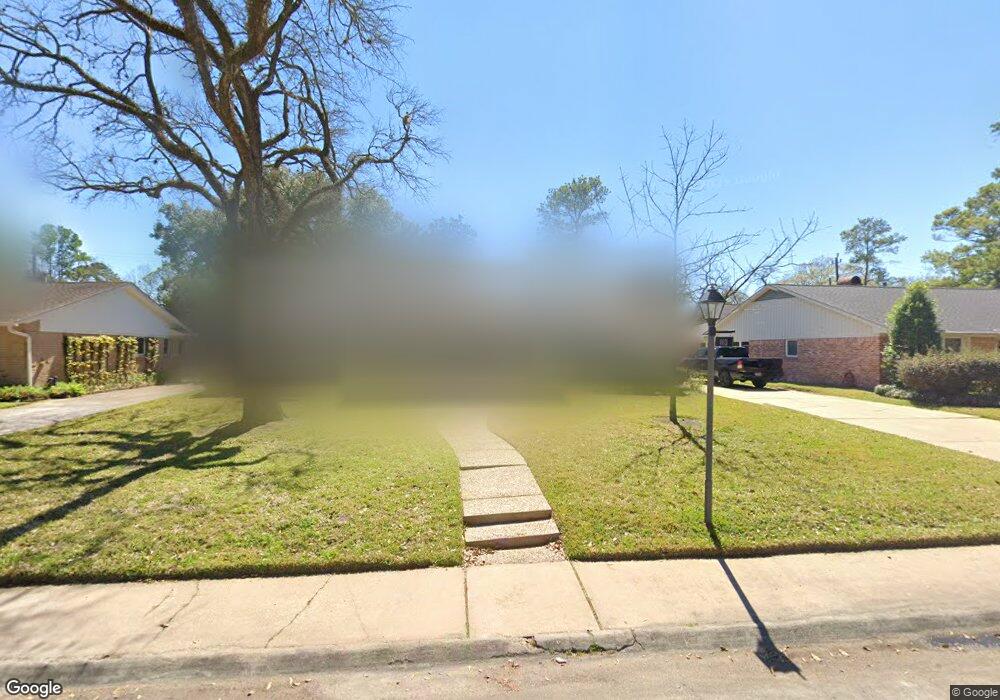
10031 Longmont Dr Houston, TX 77042
Briar Forest NeighborhoodEstimated Value: $697,118 - $803,000
3
Beds
2
Baths
2,189
Sq Ft
$333/Sq Ft
Est. Value
About This Home
This home is located at 10031 Longmont Dr, Houston, TX 77042 and is currently estimated at $729,530, approximately $333 per square foot. 10031 Longmont Dr is a home located in Harris County with nearby schools including Walnut Bend Elementary School, Paul Revere Middle School, and Westside High School.
Ownership History
Date
Name
Owned For
Owner Type
Purchase Details
Closed on
Mar 25, 2008
Sold by
Graham Joseph Wellington and Graham Allison Elizabeth
Bought by
Sergent Keith Alan and Sergent Juanita Colunga
Current Estimated Value
Home Financials for this Owner
Home Financials are based on the most recent Mortgage that was taken out on this home.
Original Mortgage
$351,000
Outstanding Balance
$218,433
Interest Rate
5.72%
Mortgage Type
Purchase Money Mortgage
Estimated Equity
$511,097
Purchase Details
Closed on
May 30, 2002
Sold by
Rubinsky Abraham I and Rubinsky Lisa J
Bought by
Graham Joseph Wellington and Graham Allison Elizabeth
Home Financials for this Owner
Home Financials are based on the most recent Mortgage that was taken out on this home.
Original Mortgage
$157,000
Interest Rate
6.92%
Create a Home Valuation Report for This Property
The Home Valuation Report is an in-depth analysis detailing your home's value as well as a comparison with similar homes in the area
Home Values in the Area
Average Home Value in this Area
Purchase History
| Date | Buyer | Sale Price | Title Company |
|---|---|---|---|
| Sergent Keith Alan | -- | Charter Title Company | |
| Graham Joseph Wellington | -- | Lawyers Title Company |
Source: Public Records
Mortgage History
| Date | Status | Borrower | Loan Amount |
|---|---|---|---|
| Open | Sergent Keith Alan | $351,000 | |
| Previous Owner | Graham Joseph Wellington | $157,000 |
Source: Public Records
Tax History Compared to Growth
Tax History
| Year | Tax Paid | Tax Assessment Tax Assessment Total Assessment is a certain percentage of the fair market value that is determined by local assessors to be the total taxable value of land and additions on the property. | Land | Improvement |
|---|---|---|---|---|
| 2025 | $8,435 | $604,000 | $416,790 | $187,210 |
| 2024 | $8,435 | $554,824 | $416,790 | $138,034 |
| 2023 | $8,435 | $615,000 | $416,790 | $198,210 |
| 2022 | $9,682 | $603,758 | $416,790 | $186,968 |
| 2021 | $12,468 | $519,651 | $416,790 | $102,861 |
| 2020 | $12,857 | $530,942 | $416,790 | $114,152 |
| 2019 | $12,915 | $547,000 | $416,790 | $130,210 |
| 2018 | $9,138 | $464,000 | $222,288 | $241,712 |
| 2017 | $11,733 | $464,000 | $222,288 | $241,712 |
| 2016 | $12,254 | $520,000 | $222,288 | $297,712 |
| 2015 | $8,100 | $501,000 | $222,288 | $278,712 |
| 2014 | $8,100 | $426,236 | $222,288 | $203,948 |
Source: Public Records
Map
Nearby Homes
- 10034 Briar Forest Dr
- 10042 Briar Forest Dr
- 10010 Bordley Dr
- 10121 Valley Forge Dr
- 10034 Bordley Dr
- 10118 Briar Rose Dr
- 10031 Inwood Dr
- 10276 Briar Forest Dr Unit 25
- 10212 Longmont Dr Unit 44/7
- 10324 Briar Forest Dr Unit 28
- 10378 Briar Forest Dr Unit 32/5
- 10317 Briar Forest Dr Unit 214
- 1 Woodstone St
- 8 Woodstone St
- 1537 W Sam Houston Pkwy S
- 3 Plantation Rd
- 1691 W Sam Houston Pkwy S
- 10 Warrenton Dr
- 10303 Chevy Chase Dr
- 10211 Olympia Dr
- 3030 St Unit 14
- 10035 Longmont Dr
- 10030 Doliver Dr
- 10034 Doliver Dr
- 10026 Doliver Dr
- 10023 Longmont Dr
- 10039 Longmont Dr
- 10030 Longmont Dr
- 10026 Longmont Dr
- 10038 Doliver Dr
- 10034 Longmont Dr
- 10022 Doliver Dr
- 10022 Longmont Dr
- 10019 Longmont Dr
- 10043 Longmont Dr
- 10038 Longmont Dr
- 10042 Doliver Dr
- 10018 Doliver Dr
- 10018 Longmont Dr
- 10027 Valley Forge Dr