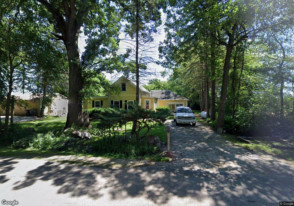
10032 N Mccord Rd Whitewater, WI 53190
Estimated Value: $271,667
--
Bed
--
Bath
--
Sq Ft
1
Acres
About This Home
This home is located at 10032 N Mccord Rd, Whitewater, WI 53190 and is currently priced at $271,667. 10032 N Mccord Rd is a home located in Rock County with nearby schools including Whitewater High School.
Ownership History
Date
Name
Owned For
Owner Type
Purchase Details
Closed on
Jun 12, 2017
Sold by
Pheasants Forever Inc
Bought by
Wisconsin Department Of Natural Resources
Current Estimated Value
Purchase Details
Closed on
Jun 5, 2014
Sold by
H & L Farms Inc
Bought by
Pheasants Forever Inc
Create a Home Valuation Report for This Property
The Home Valuation Report is an in-depth analysis detailing your home's value as well as a comparison with similar homes in the area
Home Values in the Area
Average Home Value in this Area
Purchase History
| Date | Buyer | Sale Price | Title Company |
|---|---|---|---|
| Wisconsin Department Of Natural Resources | $821,000 | -- | |
| Pheasants Forever Inc | $273,700 | -- |
Source: Public Records
Tax History Compared to Growth
Tax History
| Year | Tax Paid | Tax Assessment Tax Assessment Total Assessment is a certain percentage of the fair market value that is determined by local assessors to be the total taxable value of land and additions on the property. | Land | Improvement |
|---|---|---|---|---|
| 2024 | $2,110 | $163,600 | $40,000 | $123,600 |
| 2023 | $1,984 | $163,600 | $40,000 | $123,600 |
| 2022 | $2,227 | $128,700 | $40,000 | $88,700 |
| 2021 | $0 | $0 | $0 | $0 |
| 2020 | $2,717 | $128,700 | $40,000 | $88,700 |
| 2019 | $0 | $0 | $0 | $0 |
| 2018 | $2,662 | $128,700 | $40,000 | $88,700 |
| 2017 | $2,545 | $128,700 | $40,000 | $88,700 |
| 2016 | $2,794 | $150,400 | $150,400 | $0 |
| 2015 | $3,217 | $157,200 | $157,200 | $0 |
| 2014 | $3,614 | $157,200 | $157,200 | $0 |
| 2013 | $3,614 | $176,900 | $176,900 | $0 |
Source: Public Records
Map
Nearby Homes
- 11337 E County Rd N
- Lt1 Warner Rd
- 421 Indian Mound Pkwy
- 1639 Turtle Mound Ln
- Lt10 Pearson Ct
- 255 Indian Mound Pkwy
- The Basswood Duplex Plan at The Residences at Meadowview
- The Magnolia Duplex Plan at The Residences at Meadowview
- The Spruce Ranch Duplex Plan at The Residences at Meadowview
- 1591 Meadowview Ct
- 1581 Meadowview Ct
- 1584 Meadowview Ct
- 1589 Meadowview Ct
- 1575 Meadowview Ct
- 215 S Pine Cir
- 1252 W Laurel St
- 1135 W Walworth Ave
- 10878 N County Road Kk
- 1027 W Walworth Ave
- 1139 W Highland St
- 9942 N Mccord Rd
- 9707 N Mccord Rd
- 9844 N Lima Center Rd
- 10510 N Mccord Rd
- 10070 N Lima Center Rd
- 9439 N Mccord Rd
- 10117 N Lima Center Rd
- 12818 E Salisbury Rd
- 10735 N Mccord Rd
- 10735 N Mccord Rd
- 9741 N Lima Center Rd
- 9249 N Dempsey Dr
- 10003 N County Line Rd
- 9821 N County Line Rd
- 9710 N Lima Center Rd
- 9249 N Lima Center Rd
- 9686 N Lima Center Rd
- 9686 N Lima Center Rd Unit 9688
- 13014 E Salisbury Rd
- 10028 N County Line Rd