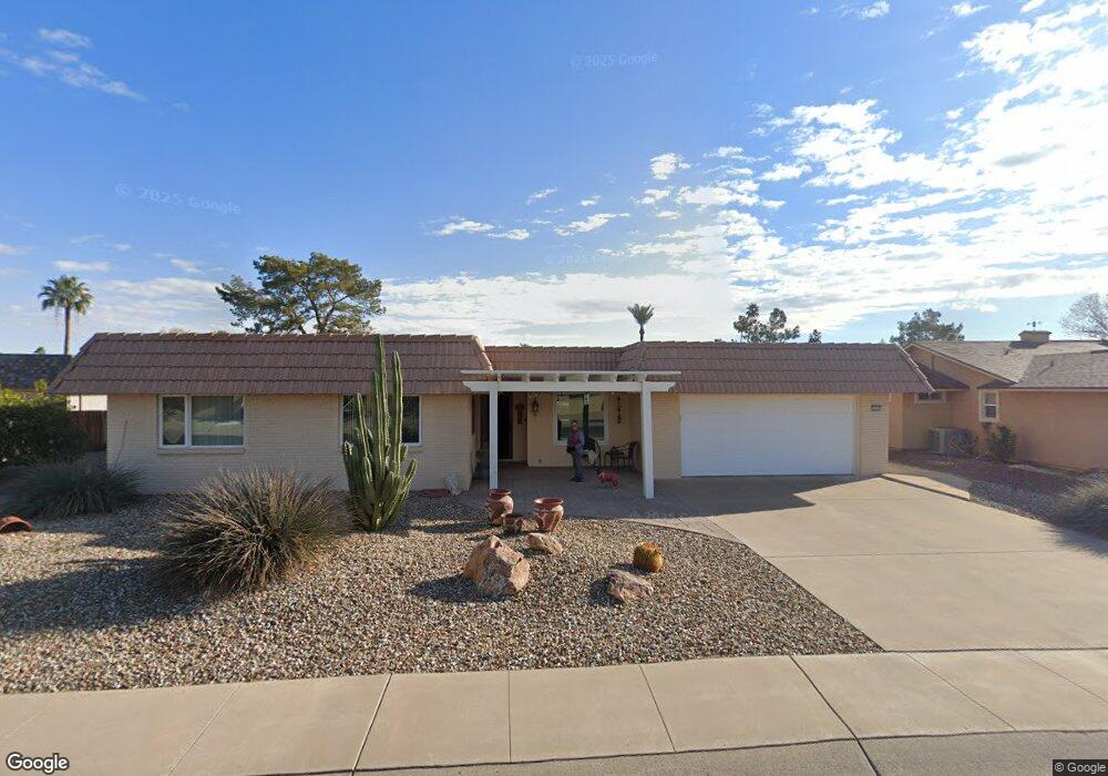
10034 W Brookside Dr Sun City, AZ 85351
Estimated Value: $323,690 - $468,000
3
Beds
2
Baths
1,962
Sq Ft
$198/Sq Ft
Est. Value
About This Home
This home is located at 10034 W Brookside Dr, Sun City, AZ 85351 and is currently estimated at $388,923, approximately $198 per square foot. 10034 W Brookside Dr is a home located in Maricopa County with nearby schools including Sonoran Science Academy-Peoria, Desert Mirage Elementary School, and Black Mountain Science Academy Montessori.
Ownership History
Date
Name
Owned For
Owner Type
Purchase Details
Closed on
Aug 28, 2003
Sold by
Blaess Paul D and Blaess Sharon A
Bought by
Blaess Paul D and Blaess Sharon A
Current Estimated Value
Purchase Details
Closed on
Jan 31, 2003
Sold by
Nemlaha Mary F H
Bought by
Blaess Paul D and Blaess Sharon A
Purchase Details
Closed on
Mar 5, 1997
Sold by
Nemlaha Mary F
Bought by
Nemlaha Mary F and Joseph H & Mary F Nemlaha Revocable Livi
Create a Home Valuation Report for This Property
The Home Valuation Report is an in-depth analysis detailing your home's value as well as a comparison with similar homes in the area
Home Values in the Area
Average Home Value in this Area
Purchase History
| Date | Buyer | Sale Price | Title Company |
|---|---|---|---|
| Blaess Paul D | -- | -- | |
| Blaess Paul D | $172,000 | North American Title Co | |
| Nemlaha Mary F | -- | -- |
Source: Public Records
Tax History Compared to Growth
Tax History
| Year | Tax Paid | Tax Assessment Tax Assessment Total Assessment is a certain percentage of the fair market value that is determined by local assessors to be the total taxable value of land and additions on the property. | Land | Improvement |
|---|---|---|---|---|
| 2025 | $1,757 | $21,756 | -- | -- |
| 2024 | $1,587 | $20,720 | -- | -- |
| 2023 | $1,587 | $29,410 | $5,880 | $23,530 |
| 2022 | $1,484 | $25,010 | $5,000 | $20,010 |
| 2021 | $1,532 | $23,700 | $4,740 | $18,960 |
| 2020 | $1,492 | $21,380 | $4,270 | $17,110 |
| 2019 | $1,473 | $21,150 | $4,230 | $16,920 |
| 2018 | $1,417 | $18,920 | $3,780 | $15,140 |
| 2017 | $1,365 | $17,180 | $3,430 | $13,750 |
| 2016 | $1,282 | $15,780 | $3,150 | $12,630 |
| 2015 | $1,222 | $15,460 | $3,090 | $12,370 |
Source: Public Records
Map
Nearby Homes
- 10134 W Desert Rock Dr
- 10018 W Burns Dr
- 9921 W Hutton Dr
- 10313 W Desert Rock Dr
- 10009 W Pleasant Valley Rd
- 10202 W Edgewood Dr
- 10313 W Burns Dr
- 9805 W Burns Dr
- 10228 W Twin Oaks Dr
- 10019 W Shasta Dr
- 10025 W Shasta Dr
- 9814 W Gulf Hills Dr
- 15406 N Boswell Blvd
- 10329 W Gulf Hills Dr
- 9915 W Sandstone Dr
- 16802 N Boswell Blvd
- 10251 W Twin Oaks Dr
- 15602 N Lakeforest Dr
- 16822 N Boswell Blvd
- 10210 W Charter Oak Dr
- 10030 W Brookside Dr
- 10038 W Brookside Dr
- 10026 W Brookside Dr
- 10033 W Brookside Dr
- 10042 W Brookside Dr
- 10029 W Brookside Dr
- 10039 W Brookside Dr
- 10022 W Brookside Dr
- 10025 W Brookside Dr
- 10046 W Brookside Dr
- 10047 W Brookside Dr
- 10114 W Sutters Gold Ln
- 10110 W Sutters Gold Ln
- 10021 W Brookside Dr
- 10050 W Brookside Dr
- 10118 W Sutters Gold Ln
- 10018 W Brookside Dr
- 10101 W Brookside Dr
- 10106 W Sutters Gold Ln
- 10022 W Desert Rock Dr Unit 3