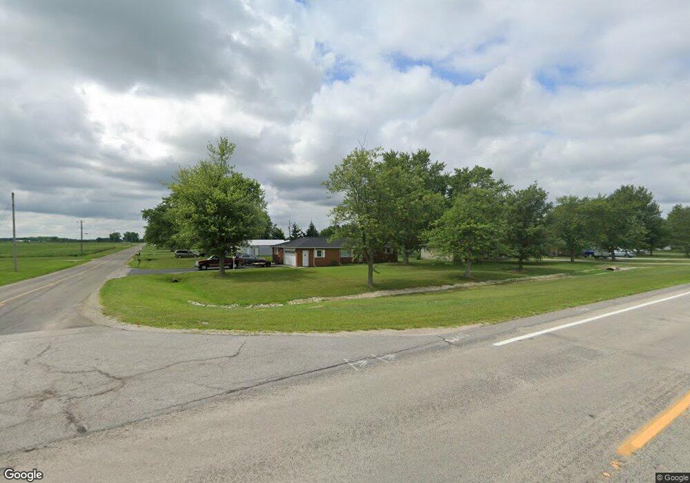
10038 Behnfeldt Rd Sherwood, OH 43556
Estimated Value: $158,000 - $290,000
3
Beds
2
Baths
1,286
Sq Ft
$154/Sq Ft
Est. Value
About This Home
This home is located at 10038 Behnfeldt Rd, Sherwood, OH 43556 and is currently estimated at $197,881, approximately $153 per square foot. 10038 Behnfeldt Rd is a home located in Defiance County with nearby schools including Fairview Elementary School, Fairview Middle School, and Fairview High School.
Ownership History
Date
Name
Owned For
Owner Type
Purchase Details
Closed on
Nov 20, 2024
Sold by
Cronk Chester R and Cronk Debra K
Bought by
Cronk Chester R and Cronk Debra K
Current Estimated Value
Purchase Details
Closed on
May 29, 2001
Bought by
Cronk Chester R and Cronk Debra K
Purchase Details
Closed on
Jun 15, 1999
Bought by
Cronk Chester R and Cronk Debra K
Purchase Details
Closed on
Feb 28, 1995
Bought by
Cronk Chester R and Cronk Debra K
Purchase Details
Closed on
Apr 26, 1994
Bought by
Cronk Chester R and Cronk Debra K
Create a Home Valuation Report for This Property
The Home Valuation Report is an in-depth analysis detailing your home's value as well as a comparison with similar homes in the area
Home Values in the Area
Average Home Value in this Area
Purchase History
| Date | Buyer | Sale Price | Title Company |
|---|---|---|---|
| Cronk Chester R | -- | None Listed On Document | |
| Cronk Chester R | $90,000 | -- | |
| Cronk Chester R | $75,000 | -- | |
| Cronk Chester R | -- | -- | |
| Cronk Chester R | $59,000 | -- |
Source: Public Records
Tax History Compared to Growth
Tax History
| Year | Tax Paid | Tax Assessment Tax Assessment Total Assessment is a certain percentage of the fair market value that is determined by local assessors to be the total taxable value of land and additions on the property. | Land | Improvement |
|---|---|---|---|---|
| 2024 | $1,646 | $47,710 | $3,570 | $44,140 |
| 2023 | $1,646 | $47,710 | $3,570 | $44,140 |
| 2022 | $1,496 | $36,620 | $3,490 | $33,130 |
| 2021 | $1,496 | $36,620 | $3,490 | $33,130 |
| 2020 | $1,515 | $36,620 | $3,490 | $33,130 |
| 2019 | $1,337 | $33,360 | $3,500 | $29,860 |
| 2018 | $1,347 | $33,360 | $3,500 | $29,860 |
| 2017 | $1,345 | $33,355 | $3,500 | $29,855 |
| 2016 | $1,133 | $28,252 | $3,500 | $24,752 |
| 2015 | $563 | $28,252 | $3,500 | $24,752 |
| 2014 | $563 | $28,252 | $3,500 | $24,752 |
| 2013 | $563 | $28,252 | $3,500 | $24,752 |
| 2012 | $563 | $28,252 | $3,500 | $24,752 |
Source: Public Records
Map
Nearby Homes
- 116 Wirth Ln
- 720 Bergman Dr
- 130 S Rock St
- 115 Wilmot St
- 0 State Route 18 Unit 6123115
- 0 State Route 18 Unit 6123113
- 8320 Openlander Rd
- 10690 Fountain Street Rd
- 9316 Anderson St
- 16422 County Road 424
- 0 Switzer Rd
- 16765 Road 115
- 17341 Road 139
- 0 Ohio 249
- 00 Ohio 249
- 15010 U S 127
- 4906 Flickinger Rd
- 16453 Road 63
- 20975 Buckskin Rd
- 726 Indian Bridge Ln
- 12962 State Route 18
- 10084 Behnfeldt Rd
- 12942 State Route 18
- 12924 State Route 18
- 10122 Behnfeldt Rd
- 12904 State Route 18
- 12904 Ohio 18
- 10041 Behnfeldt Rd
- 9948 Behnfeldt Rd
- 12884 State Route 18
- 10158 Behnfeldt Rd
- 9910 Behnfeldt Rd
- 10194 Behnfeldt Rd
- 13130 State Route 18
- 13154 State Route 18
- 10232 Behnfeldt Rd
- 13172 State Route 18
- 13177 State Route 18
- 13194 State Route 18
- 13210 State Route 18