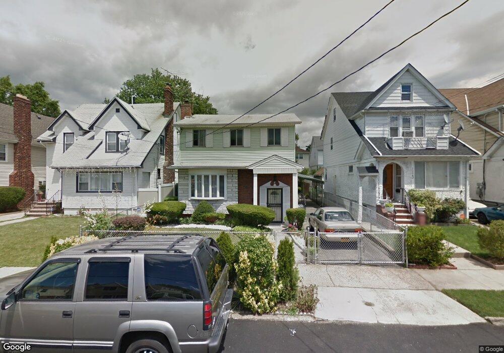
10039 203rd St Hollis, NY 11423
Hollis NeighborhoodEstimated Value: $722,000 - $927,000
--
Bed
--
Bath
1,690
Sq Ft
$483/Sq Ft
Est. Value
About This Home
This home is located at 10039 203rd St, Hollis, NY 11423 and is currently estimated at $816,859, approximately $483 per square foot. 10039 203rd St is a home located in Queens County with nearby schools including P.S. 134 Langston Hughes School, I.S. 192 The Linden, and Wellspring Elementary & Middle.
Ownership History
Date
Name
Owned For
Owner Type
Purchase Details
Closed on
Jan 14, 2010
Sold by
Manderson Gloria and Manderson Jerome R
Bought by
Roban William A
Current Estimated Value
Home Financials for this Owner
Home Financials are based on the most recent Mortgage that was taken out on this home.
Original Mortgage
$364,083
Outstanding Balance
$237,093
Interest Rate
4.79%
Mortgage Type
Purchase Money Mortgage
Estimated Equity
$579,766
Create a Home Valuation Report for This Property
The Home Valuation Report is an in-depth analysis detailing your home's value as well as a comparison with similar homes in the area
Home Values in the Area
Average Home Value in this Area
Purchase History
| Date | Buyer | Sale Price | Title Company |
|---|---|---|---|
| Roban William A | $370,800 | -- |
Source: Public Records
Mortgage History
| Date | Status | Borrower | Loan Amount |
|---|---|---|---|
| Open | Roban William A | $364,083 |
Source: Public Records
Tax History Compared to Growth
Tax History
| Year | Tax Paid | Tax Assessment Tax Assessment Total Assessment is a certain percentage of the fair market value that is determined by local assessors to be the total taxable value of land and additions on the property. | Land | Improvement |
|---|---|---|---|---|
| 2025 | $6,861 | $36,029 | $8,802 | $27,227 |
| 2024 | $6,861 | $34,159 | $8,217 | $25,942 |
| 2023 | $6,473 | $32,227 | $8,560 | $23,667 |
| 2022 | $6,279 | $39,900 | $12,240 | $27,660 |
| 2021 | $6,619 | $35,040 | $12,240 | $22,800 |
| 2020 | $6,355 | $35,040 | $12,240 | $22,800 |
| 2019 | $5,955 | $34,740 | $12,240 | $22,500 |
| 2018 | $5,475 | $26,856 | $8,865 | $17,991 |
| 2017 | $5,343 | $26,209 | $9,846 | $16,363 |
| 2016 | $5,239 | $26,209 | $9,846 | $16,363 |
| 2015 | $2,762 | $25,020 | $13,620 | $11,400 |
| 2014 | $2,762 | $23,722 | $12,913 | $10,809 |
Source: Public Records
Map
Nearby Homes
- 100-35 204th St
- 10035 204th St
- 100-15 202nd St
- 204-20 104th Ave
- 10411 205th St
- 104-28 201st St
- 104-38 202nd St
- 10411 200th St
- 204-06 109th Ave
- 20202 109th Ave
- 100-28 207th St
- 100-32 199th St
- 104-39 199th St
- 109-15 200th St
- 109-10 Francis Lewis Blvd
- 109-12 Francis Lewis Blvd
- 109-18 Francis Lewis Blvd
- 200-21 Hollis Ave
- 10446 199th St
- 94-72 199th St
- 10039 203rd St Unit 2
- 10043 203rd St
- 10035 203rd St
- 10047 203rd St
- 10047 203rd St
- 10031 203rd St
- 10049 203rd St
- 10040 204th St
- 10042 204th St
- 10038 204th St
- 10046 204th St
- 100-46 204th St
- 10040 204th St
- 10034 204th St
- 100-34 204th St
- 10027 203rd St
- 10048 204th St
- 100-48 204
- 10048 204th St
- 10032 204th St