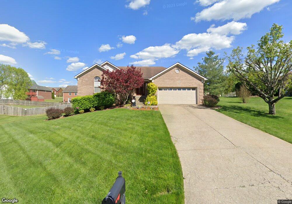
1004 Brookstone Ct Georgetown, IN 47122
Estimated Value: $332,000 - $456,000
About This Home
This home is located at 1004 Brookstone Ct, Georgetown, IN 47122 and is currently estimated at $376,193, approximately $228 per square foot. 1004 Brookstone Ct is a home located in Floyd County with nearby schools including Georgetown Elementary School, Highland Hills Middle School, and Floyd Central High School.
Ownership History
We collect this data history from publicly available records. To have your information removed, we recommend requesting removal directly through your county’s website.
Purchase Details
Home Financials for this Owner
Home Financials are based on the most recent Mortgage that was taken out on this home.Home Values in the Area
Average Home Value in this Area
Purchase History
We collect this data history from publicly available records. To have your information removed, we recommend requesting removal directly through your county’s website.
| Date | Buyer | Sale Price | Title Company |
|---|---|---|---|
| -- | None Available |
Mortgage History
We collect this data history from publicly available records. To have your information removed, we recommend requesting removal directly through your county’s website.
| Date | Status | Borrower | Loan Amount |
|---|---|---|---|
| Open | $199,400 |
Tax History
We collect this data history from publicly available records. To have your information removed, we recommend requesting removal directly through your county’s website.
| Year | Tax Paid | Tax Assessment Tax Assessment Total Assessment is a certain percentage of the fair market value that is determined by local assessors to be the total taxable value of land and additions on the property. | Land | Improvement |
|---|---|---|---|---|
| 2025 | $2,898 | $323,600 | $39,200 | $284,400 |
| 2024 | $3,164 | $331,900 | $39,200 | $292,700 |
| 2023 | $2,745 | $298,400 | $39,200 | $259,200 |
| 2022 | $2,650 | $268,200 | $39,200 | $229,000 |
| 2021 | $2,462 | $252,200 | $39,200 | $213,000 |
| 2020 | $2,359 | $249,300 | $39,200 | $210,100 |
| 2019 | $2,145 | $235,400 | $39,200 | $196,200 |
| 2018 | $1,954 | $221,500 | $39,200 | $182,300 |
| 2017 | $1,808 | $198,900 | $39,200 | $159,700 |
| 2016 | $1,526 | $184,300 | $39,200 | $145,100 |
| 2014 | $1,739 | $181,600 | $39,200 | $142,400 |
| 2013 | -- | $178,500 | $39,200 | $139,300 |
Map
- 2031 Brookstone Way
- 8003 Schrieber Rd
- 1034 Brookstone Ct
- 1037 Brookstone Ct
- 7012 Dylan Cir
- 7014 Dylan Cir
- 1236 Walts Rd
- 7309 Rainelle Ct
- 7005 Mitsch Unit Lot 969
- 8276 Crimson Creek Ct
- 8151 - LOT 951 Zelpha Blvd
- 8153 - LOT 952 Zelpha Blvd
- 8145 - LOT 907 Zelpha Blvd
- 8147 - LOT 908 Zelpha Blvd
- 7003 Mitsch Unit Lot 970
- 7001 Mitsch Unit Lot 971
- 8278 Crimson Creek Ct
- 2009 Mary Ella Dr Unit 231
- 8164- LOT 932 Zelpha Blvd
- 8164 Zelpha Blvd Unit Lot 932
- 1006 Brookstone Ct
- 1002 Brookstone Ct
- 3002 Brookhill Ct
- 3000 Brookhill Ct
- 3004 Brookhill Ct
- 1008 Brookstone Ct
- 1005 Brookstone Ct
- 1007 Brookstone Ct
- 1003 Brookstone Ct
- 3006 Brookhill Ct
- 1009 Brookstone Ct
- 3008 Brookhill Ct
- 2003 Brookstone Way
- 2005 Brookstone Way
- 1001 Brookstone Ct
- 1011 Brookstone Ct
- 2010 Brookstone Way
- 2007 Brookstone Way
- 1012 Brookstone Ct
- 2001 Brookstone Way
Ask me questions while you tour the home.