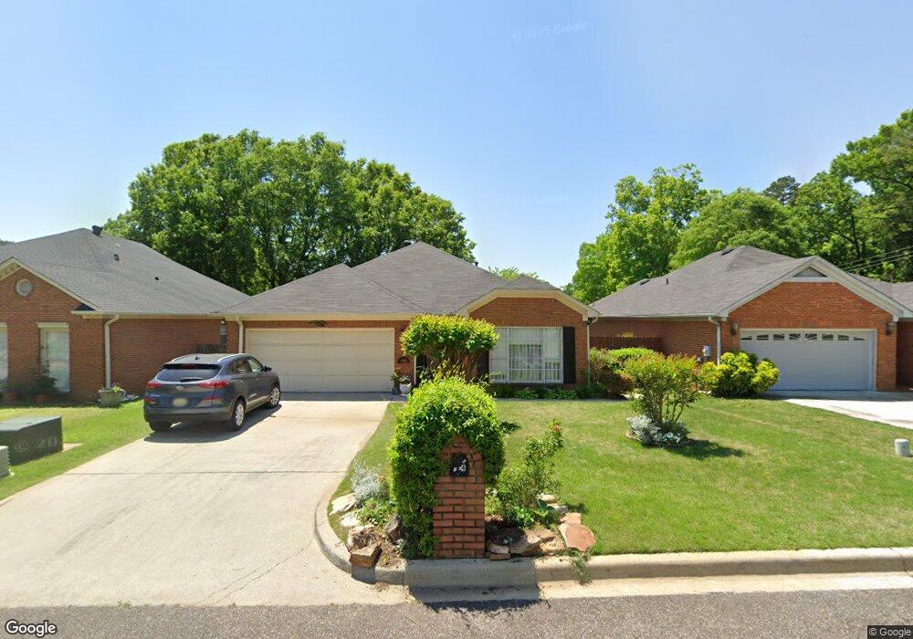
1004 Brookstone Ln Birmingham, AL 35235
Huffman NeighborhoodEstimated Value: $200,000 - $220,000
2
Beds
2
Baths
1,838
Sq Ft
$115/Sq Ft
Est. Value
About This Home
This home is located at 1004 Brookstone Ln, Birmingham, AL 35235 and is currently estimated at $211,596, approximately $115 per square foot. 1004 Brookstone Ln is a home located in Jefferson County with nearby schools including Huffman Academy, Huffman Middle School, and Huffman High School.
Ownership History
Date
Name
Owned For
Owner Type
Purchase Details
Closed on
Jun 11, 2024
Sold by
Davis Jo Ann Agee
Bought by
Davis Jo Ann Agee and Agee Tammie
Current Estimated Value
Purchase Details
Closed on
Feb 4, 2009
Sold by
Davis Edward
Bought by
Johnson Davis Edward and Johnson Gee Jo Ann
Purchase Details
Closed on
Sep 4, 2008
Sold by
Pichelmayer Jo Ann W
Bought by
Davis Edward
Home Financials for this Owner
Home Financials are based on the most recent Mortgage that was taken out on this home.
Original Mortgage
$142,500
Interest Rate
6.48%
Mortgage Type
Purchase Money Mortgage
Create a Home Valuation Report for This Property
The Home Valuation Report is an in-depth analysis detailing your home's value as well as a comparison with similar homes in the area
Home Values in the Area
Average Home Value in this Area
Purchase History
| Date | Buyer | Sale Price | Title Company |
|---|---|---|---|
| Davis Jo Ann Agee | $184,500 | None Listed On Document | |
| Johnson Davis Edward | $500 | None Available | |
| Davis Edward | $150,000 | None Available |
Source: Public Records
Mortgage History
| Date | Status | Borrower | Loan Amount |
|---|---|---|---|
| Previous Owner | Davis Edward | $142,500 |
Source: Public Records
Tax History Compared to Growth
Tax History
| Year | Tax Paid | Tax Assessment Tax Assessment Total Assessment is a certain percentage of the fair market value that is determined by local assessors to be the total taxable value of land and additions on the property. | Land | Improvement |
|---|---|---|---|---|
| 2024 | -- | $18,440 | -- | -- |
| 2022 | $0 | $18,610 | $2,250 | $16,360 |
| 2021 | $980 | $16,160 | $2,250 | $13,910 |
| 2020 | $980 | $13,940 | $2,250 | $11,690 |
| 2019 | $980 | $13,940 | $0 | $0 |
| 2018 | $0 | $13,400 | $0 | $0 |
| 2017 | $0 | $13,400 | $0 | $0 |
| 2016 | $0 | $12,520 | $0 | $0 |
| 2015 | $964 | $15,300 | $0 | $0 |
| 2014 | $980 | $15,060 | $0 | $0 |
| 2013 | $980 | $15,060 | $0 | $0 |
Source: Public Records
Map
Nearby Homes
- 1064 Martinwood Ln
- 1305 Westminster Place
- 1032 Martinwood Ln
- 1013 Jeffery Dr
- 823 Sherman Oaks Dr
- 1316 Glenwick Cir
- 909 Winchester Cir
- 1126 Zellmark Ln
- 860 Marion Ln
- 840 Sherwood Forest Dr
- 1132 Martinwood Ln
- 1024 North Dr
- 953 Ridgewood Cir
- 532 Rollingwood Rd
- 948 Ridgewood Cir
- 944 Reedwood Ln
- 829 Sherwood Forest Dr
- 960 Edwards Lake Rd
- 500 Rollingwood Rd
- 809 Sherwood Forest Dr
- 1008 Brookstone Ln
- 1000 Brookstone Ln
- 1012 Brookstone Ln
- 1024 Brookstone Ln
- 1005 Brookstone Ln
- 1001 Brookstone Ln
- 1028 Brookstone Ln
- 1009 Brookstone Ln
- 1013 Brookstone Ln
- 1032 Brookstone Ln
- 1017 Brookstone Ln
- 1025 Brookstone Ln
- 1021 Brookstone Ln
- 1036 Brookstone Ln
- 1019 Martinwood Ln
- 1036 Winchester Dr
- 1033 Brookstone Ln
- 1009 Martinwood Ln
- 1032 Winchester Dr
- 1029 Brookstone Ln