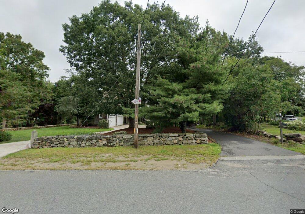
1004 Drift Rd Westport, MA 02790
Booth/Handy Four Corners NeighborhoodEstimated Value: $1,245,271 - $1,564,000
2
Beds
--
Bath
2,692
Sq Ft
$529/Sq Ft
Est. Value
About This Home
This home is located at 1004 Drift Rd, Westport, MA 02790 and is currently estimated at $1,425,318, approximately $529 per square foot. 1004 Drift Rd is a home located in Bristol County with nearby schools including Alice A. Macomber Primary School, Westport Elementary School, and Westport Middle-High School.
Ownership History
Date
Name
Owned For
Owner Type
Purchase Details
Closed on
Oct 26, 2018
Sold by
Cormier Todd A and Cormier Kathleen R
Bought by
Cormier Ft
Current Estimated Value
Purchase Details
Closed on
Jul 28, 1988
Sold by
Holmes Maemagee Est
Bought by
Cormier Todd A
Create a Home Valuation Report for This Property
The Home Valuation Report is an in-depth analysis detailing your home's value as well as a comparison with similar homes in the area
Home Values in the Area
Average Home Value in this Area
Purchase History
| Date | Buyer | Sale Price | Title Company |
|---|---|---|---|
| Cormier Ft | -- | -- | |
| Cormier Todd A | $176,000 | -- |
Source: Public Records
Mortgage History
| Date | Status | Borrower | Loan Amount |
|---|---|---|---|
| Previous Owner | Cormier Todd A | $215,000 | |
| Previous Owner | Cormier Todd A | $214,600 | |
| Previous Owner | Cormier Todd A | $270,000 | |
| Previous Owner | Cormier Todd A | $661,249 |
Source: Public Records
Tax History
| Year | Tax Paid | Tax Assessment Tax Assessment Total Assessment is a certain percentage of the fair market value that is determined by local assessors to be the total taxable value of land and additions on the property. | Land | Improvement |
|---|---|---|---|---|
| 2025 | $8,092 | $1,086,200 | $573,100 | $513,100 |
| 2024 | $7,517 | $972,400 | $530,900 | $441,500 |
| 2023 | $7,434 | $911,000 | $505,700 | $405,300 |
| 2022 | $7,240 | $853,800 | $505,700 | $348,100 |
| 2021 | $5,990 | $694,900 | $367,800 | $327,100 |
| 2020 | $5,687 | $674,600 | $347,500 | $327,100 |
| 2019 | $5,315 | $642,700 | $342,000 | $300,700 |
| 2018 | $5,847 | $715,700 | $403,000 | $312,700 |
| 2017 | $5,896 | $739,800 | $403,000 | $336,800 |
| 2016 | $5,840 | $738,300 | $403,000 | $335,300 |
| 2015 | $6,267 | $790,300 | $497,800 | $292,500 |
Source: Public Records
Map
Nearby Homes
- 920 Drift Rd
- 837 Main Road & Lot 2
- 8 Village Way
- 101 Adamsville Rd
- 31 Brookwood Dr
- 640 Main Rd
- 0 Hidden Glen Ln
- 332 Division Rd
- 2 Slades Farm Ln
- 10 Fernmarsh Ln
- 45 Marcotte Unit Lot 7
- 11 Marcotte Dr Unit Lot 2
- 2 Olin Howland Way
- 978 Sodom Rd
- 25 Quail Trail
- 17 Quail Trail
- 330 Sodom Rd
- 1 Puddingstone Cir
- 1282 East Rd
- 441 Old County Rd
- 218 Hixbridge Rd
- 992 Drift Rd
- 234 Hixbridge Rd Unit 236
- Lot 12 Drift Rd
- 000 Drift Rd
- 1016 Drift Rd
- 202 Hixbridge Rd
- 1009 Drift Rd
- 1017 Drift Rd
- 1024 Drift Rd
- 225 Hixbridge Rd
- 1025 Drift Rd
- 1032 Drift Rd Unit 1034
- 967 Drift Rd
- 249 Hixbridge Rd
- 966 Drift Rd
- 195 Hixbridge Rd
- 1038 Drift Rd
- 1035 Drift Rd
- 181 Hixbridge Rd Unit 183
Your Personal Tour Guide
Ask me questions while you tour the home.