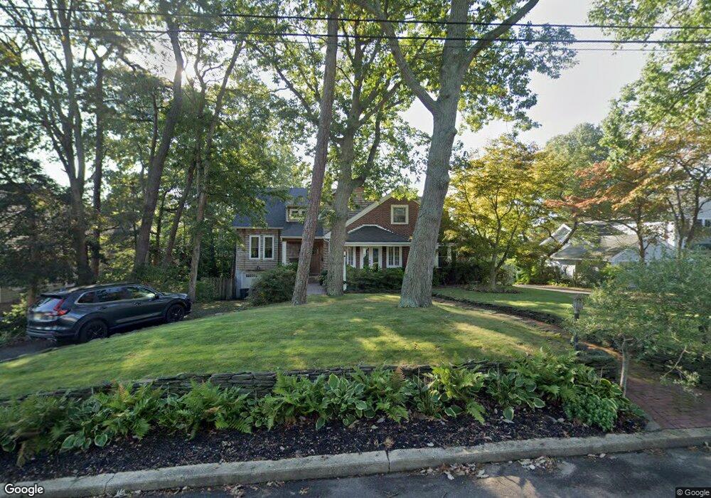
1004 Forrest Rd Brielle, NJ 08730
Estimated Value: $1,356,000 - $1,871,000
4
Beds
2
Baths
3,225
Sq Ft
$509/Sq Ft
Est. Value
About This Home
This home is located at 1004 Forrest Rd, Brielle, NJ 08730 and is currently estimated at $1,640,926, approximately $508 per square foot. 1004 Forrest Rd is a home located in Monmouth County with nearby schools including Brielle Elementary School and St Dominic School.
Ownership History
Date
Name
Owned For
Owner Type
Purchase Details
Closed on
Sep 19, 2003
Sold by
Klein Donald
Bought by
Fallon Daniel and Fallon Cassie
Current Estimated Value
Home Financials for this Owner
Home Financials are based on the most recent Mortgage that was taken out on this home.
Original Mortgage
$416,000
Interest Rate
5.8%
Create a Home Valuation Report for This Property
The Home Valuation Report is an in-depth analysis detailing your home's value as well as a comparison with similar homes in the area
Home Values in the Area
Average Home Value in this Area
Purchase History
| Date | Buyer | Sale Price | Title Company |
|---|---|---|---|
| Fallon Daniel | $520,000 | -- |
Source: Public Records
Mortgage History
| Date | Status | Borrower | Loan Amount |
|---|---|---|---|
| Previous Owner | Fallon Daniel | $416,000 |
Source: Public Records
Tax History
| Year | Tax Paid | Tax Assessment Tax Assessment Total Assessment is a certain percentage of the fair market value that is determined by local assessors to be the total taxable value of land and additions on the property. | Land | Improvement |
|---|---|---|---|---|
| 2025 | $16,754 | $1,350,000 | $920,000 | $430,000 |
| 2024 | $14,861 | $1,350,000 | $987,500 | $362,500 |
Source: Public Records
Map
Nearby Homes
- 937 Birch Dr
- 1015 Forrest Rd
- 931 Birch Dr
- 924 Birch Dr
- 1105 Shore Dr
- 21 N Tamarack Dr
- 917 Riverview Dr
- 907 Riverview Dr
- 409 Laurel Ave
- 3000 River Rd Unit 3000 & 3000A
- 2639 River Rd
- 213 Ida Dr
- 2201 River Rd Unit 4303
- 207 River Ave
- 2506 Pacific St
- 2609 River Rd
- 1147 Harding Place
- 3006 Herbertsville Rd
- 1507 Wishing Well Ln
- 1548 Logan Dr
- 1006 Forrest Rd
- 1002 Forrest Rd
- 1005 Brainard Place
- 1008 Forrest Rd
- 1003 Brainard Place
- 1007 Brainard Place
- 1014 Riverview Dr
- 1016 Riverview Dr
- 1005 Forrest Rd
- 1007 Forrest Rd
- 1003 Forrest Rd
- 1012 Riverview Dr
- 1009 Brainard Place
- 1010 Forrest Rd
- 1009 Forrest Rd
- 1001 Forrest Rd
- 1001 Brainard Place
- 1011 Brainard Place
- 1011 Forrest Rd
- 1017 Riverview Dr
Your Personal Tour Guide
Ask me questions while you tour the home.