Estimated Value: $211,000 - $403,000
--
Bed
--
Bath
2,500
Sq Ft
$116/Sq Ft
Est. Value
About This Home
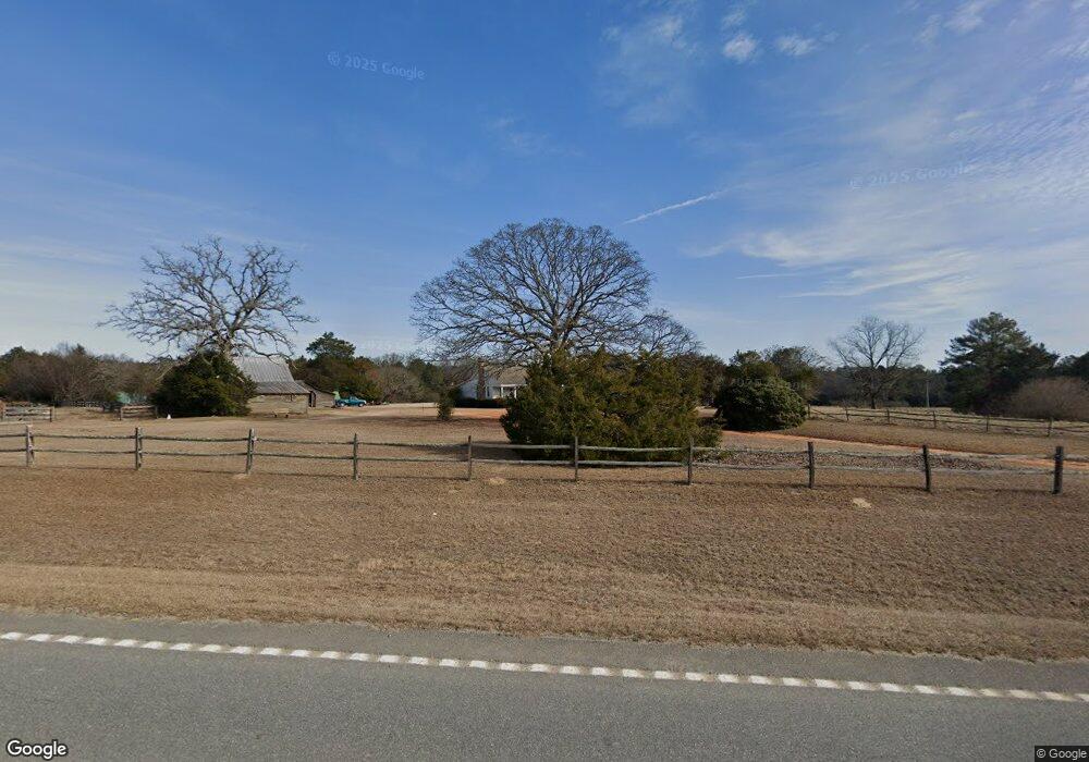
This home is located at 1004 Ga Highway 90 W, Mauk, GA 31058 and is currently estimated at $289,610, approximately $115 per square foot. 1004 Ga Highway 90 W is a home with nearby schools including Taylor County Primary School, Taylor County Upper Elementary School, and Taylor County Middle School.
Ownership History
Date
Name
Owned For
Owner Type
Purchase Details
Closed on
Dec 13, 2019
Sold by
Salt Creek Holdings Inc
Bought by
Hoffman Patrick J
Current Estimated Value
Purchase Details
Closed on
Feb 15, 2012
Sold by
Rambulette Corp
Bought by
Salt Creek Holdings Inc
Purchase Details
Closed on
Feb 20, 1996
Bought by
Rambulette Corporati
Create a Home Valuation Report for This Property
The Home Valuation Report is an in-depth analysis detailing your home's value as well as a comparison with similar homes in the area
Home Values in the Area
Average Home Value in this Area
Purchase History
| Date | Buyer | Sale Price | Title Company |
|---|---|---|---|
| Hoffman Patrick J | $125,000 | -- | |
| Salt Creek Holdings Inc | -- | -- | |
| Rambulette Corporati | $70,000 | -- |
Source: Public Records
Tax History Compared to Growth
Tax History
| Year | Tax Paid | Tax Assessment Tax Assessment Total Assessment is a certain percentage of the fair market value that is determined by local assessors to be the total taxable value of land and additions on the property. | Land | Improvement |
|---|---|---|---|---|
| 2024 | -- | $85,949 | $7,960 | $77,989 |
| 2023 | $0 | $68,749 | $6,920 | $61,829 |
| 2022 | $1,505 | $65,509 | $6,920 | $58,589 |
| 2021 | $1,428 | $60,709 | $5,760 | $54,949 |
| 2020 | $1,186 | $60,709 | $5,760 | $54,949 |
| 2019 | $1,464 | $60,709 | $5,760 | $54,949 |
| 2018 | $1,597 | $66,323 | $5,760 | $60,563 |
| 2017 | $1,508 | $63,396 | $7,013 | $56,383 |
| 2016 | $1,404 | $58,106 | $7,013 | $51,094 |
| 2015 | -- | $58,106 | $7,013 | $51,094 |
| 2014 | -- | $50,761 | $7,792 | $42,969 |
| 2013 | -- | $52,694 | $7,792 | $44,902 |
Source: Public Records
Map
Nearby Homes
- 0 Liberty Rd
- 12 AC Liberty Rd
- 3599 Ga Highway 127
- 15 Georgia 127
- SR-240 Connector
- 0 Brannon Montgomery Rd Unit 10453495
- 0 Brannon Montgomery Rd Unit 25510431
- 62 Brannon Montgomery Rd
- 0 Georgia 240
- 095 Mt Sinai Church Rd
- 010 Mallard Rd
- 29 Mallard Rd
- 69 Mt Sinai Church Rd
- 004 Mt Sinai Church Rd
- 221 Flamingo Dr
- 375 Village Ln
- 0 Mt Sinai Church Rd Unit 10555546
- 0 Americus Hwy Unit 10490217
- 1 Americus Hwy
- 766 Parks Rd
- 4952 Georgia 137
- 1713 Buena Vista Hwy
- 1718 Buena Vista Hwy
- 1732 Buena Vista Hwy
- 32 Bell Rd
- 13 Bell Rd
- 1224 Ed Davis Rd
- 5 Southern States Rd
- 0 Welch Rd Unit 7175570
- 1769 Buena Vista Hwy
- 1774 Buena Vista Hwy
- 1782 Buena Vista Hwy
- 00 State Highway 137
- 143 Southern States Rd
- 25 Via Tourniche
- 25 Via Tourniche
- 204 Welch Rd
- 218 Welch Rd