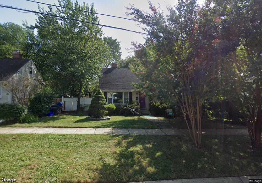
1004 Laredo Rd Silver Spring, MD 20901
Estimated Value: $415,000 - $566,000
Studio
2
Baths
1,200
Sq Ft
$419/Sq Ft
Est. Value
About This Home
This home is located at 1004 Laredo Rd, Silver Spring, MD 20901 and is currently estimated at $503,348, approximately $419 per square foot. 1004 Laredo Rd is a home located in Montgomery County with nearby schools including Forest Knolls Elementary School, Silver Spring International Middle School, and Northwood High School.
Ownership History
Date
Name
Owned For
Owner Type
Purchase Details
Closed on
Feb 18, 1998
Sold by
Fed National Mortgage Assoc
Bought by
Zapata Marco A
Current Estimated Value
Purchase Details
Closed on
Sep 30, 1997
Sold by
L Gary W and L Cornwell P
Bought by
Fed National Mortgage Assoc
Purchase Details
Closed on
Apr 15, 1994
Sold by
Mcgaughran J
Bought by
Cornwell Gary W
Home Financials for this Owner
Home Financials are based on the most recent Mortgage that was taken out on this home.
Original Mortgage
$133,000
Interest Rate
7.45%
Create a Home Valuation Report for This Property
The Home Valuation Report is an in-depth analysis detailing your home's value as well as a comparison with similar homes in the area
Home Values in the Area
Average Home Value in this Area
Purchase History
| Date | Buyer | Sale Price | Title Company |
|---|---|---|---|
| Zapata Marco A | $122,000 | -- | |
| Fed National Mortgage Assoc | $116,025 | -- | |
| Cornwell Gary W | $140,000 | -- |
Source: Public Records
Mortgage History
| Date | Status | Borrower | Loan Amount |
|---|---|---|---|
| Previous Owner | Cornwell Gary W | $133,000 |
Source: Public Records
Tax History
| Year | Tax Paid | Tax Assessment Tax Assessment Total Assessment is a certain percentage of the fair market value that is determined by local assessors to be the total taxable value of land and additions on the property. | Land | Improvement |
|---|---|---|---|---|
| 2025 | $5,571 | $455,200 | $234,100 | $221,100 |
| 2024 | $5,571 | $426,333 | $0 | $0 |
| 2023 | $5,912 | $397,467 | $0 | $0 |
| 2022 | $2,971 | $368,600 | $213,200 | $155,400 |
| 2021 | $1,890 | $357,167 | $0 | $0 |
| 2020 | $3,622 | $345,733 | $0 | $0 |
| 2019 | $3,463 | $334,300 | $198,500 | $135,800 |
| 2018 | $3,353 | $326,567 | $0 | $0 |
| 2017 | $3,307 | $318,833 | $0 | $0 |
| 2016 | -- | $311,100 | $0 | $0 |
| 2015 | $3,017 | $309,033 | $0 | $0 |
| 2014 | $3,017 | $306,967 | $0 | $0 |
Source: Public Records
Map
Nearby Homes
- 10128 Dallas Ave
- 10110 Dallas Ave
- 513 Kerwin Ct
- 1518 Gridley Ln
- 10015 Reddick Dr
- 10405 Inwood Ave
- 10006 Portland Place
- 603 Perth Place
- 827 University Blvd W
- 10104 Kinross Ave
- 1401 Jasper St
- 812 Forest Glen Rd
- 9910 Lorain Ave
- 11000 Conti Place
- 1809 Florin St
- 1111 University Blvd W Unit 511
- 1111 University Blvd W Unit 919A
- 1111 University Blvd W Unit 1406
- 1616 Tilton Dr
- 2002 Medical Park Dr
Your Personal Tour Guide
Ask me questions while you tour the home.