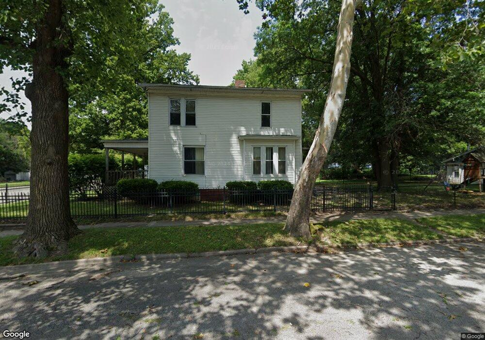
1004 N Monroe St Decatur, IL 62522
Estimated Value: $27,000 - $61,000
4
Beds
2
Baths
2,862
Sq Ft
$16/Sq Ft
Est. Value
About This Home
This home is located at 1004 N Monroe St, Decatur, IL 62522 and is currently estimated at $45,431, approximately $15 per square foot. 1004 N Monroe St is a home located in Macon County with nearby schools including Hope Academy, St. Patrick School, and Teen Challenge-Home For Girls.
Ownership History
Date
Name
Owned For
Owner Type
Purchase Details
Closed on
Dec 30, 2010
Sold by
Slaw Ronald Dean and Slaw Patricia A
Bought by
Goforth Sharveon D
Current Estimated Value
Home Financials for this Owner
Home Financials are based on the most recent Mortgage that was taken out on this home.
Original Mortgage
$39,354
Outstanding Balance
$27,735
Interest Rate
5.5%
Mortgage Type
FHA
Estimated Equity
$17,696
Create a Home Valuation Report for This Property
The Home Valuation Report is an in-depth analysis detailing your home's value as well as a comparison with similar homes in the area
Home Values in the Area
Average Home Value in this Area
Purchase History
| Date | Buyer | Sale Price | Title Company |
|---|---|---|---|
| Goforth Sharveon D | -- | None Available |
Source: Public Records
Mortgage History
| Date | Status | Borrower | Loan Amount |
|---|---|---|---|
| Open | Goforth Sharveon D | $39,354 |
Source: Public Records
Tax History Compared to Growth
Tax History
| Year | Tax Paid | Tax Assessment Tax Assessment Total Assessment is a certain percentage of the fair market value that is determined by local assessors to be the total taxable value of land and additions on the property. | Land | Improvement |
|---|---|---|---|---|
| 2024 | $557 | $10,040 | $627 | $9,413 |
| 2023 | $572 | $9,685 | $605 | $9,080 |
| 2022 | $588 | $9,134 | $560 | $8,574 |
| 2021 | $592 | $8,530 | $523 | $8,007 |
| 2020 | $611 | $8,135 | $499 | $7,636 |
| 2019 | $611 | $8,135 | $499 | $7,636 |
| 2018 | $604 | $9,130 | $618 | $8,512 |
| 2017 | $602 | $9,373 | $634 | $8,739 |
| 2016 | $607 | $9,468 | $640 | $8,828 |
| 2015 | $588 | $9,301 | $629 | $8,672 |
| 2014 | $551 | $10,214 | $411 | $9,803 |
| 2013 | $549 | $10,597 | $426 | $10,171 |
Source: Public Records
Map
Nearby Homes
- 844 N Edward St
- 415 W Green St
- 875 N Monroe St
- 1245 N Union St
- 837 W Grand Ave
- 141 E Packard St
- 1504 N Monroe St
- 1545 N Monroe St
- 422 W William St
- 330 W William St
- 1065 W Green St
- 609 W William St
- 254 N Pine St
- 644 W Division St
- 233 N Edward St
- 452 W Prairie Ave
- 442 W Prairie Ave
- 366 W Prairie Ave
- 1558 N Main St
- 958 W William St
- 1005 N Monroe St
- 1032 N Monroe St
- 1015 N Monroe St
- 1027 N Monroe St
- 618 W Marietta St
- 1029 N Monroe St
- 530 W Marietta St
- 977 N Monroe St
- 623 W Marietta St
- 624 W Marietta St
- 533 W Marietta St
- 1045 N Monroe St
- 619 W Elm St
- 630 W Marietta St
- 946 N Monroe St
- 525 W Marietta St
- 1055 N Monroe St
- 1063 N Monroe St
- 1025 N College St
- 629 W Marietta St