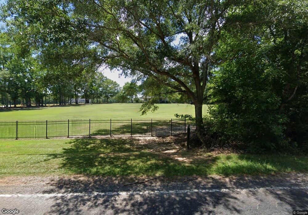
1004 Reedy Fork Rd Pelzer, SC 29669
Estimated Value: $535,733 - $787,000
3
Beds
3
Baths
2,805
Sq Ft
$234/Sq Ft
Est. Value
About This Home
This home is located at 1004 Reedy Fork Rd, Pelzer, SC 29669 and is currently estimated at $656,683, approximately $234 per square foot. 1004 Reedy Fork Rd is a home located in Greenville County with nearby schools including Fork Shoals School, Ralph Chandler Middle, and Woodmont High School.
Ownership History
Date
Name
Owned For
Owner Type
Purchase Details
Closed on
Jul 24, 2014
Sold by
Ramirez Joseph M
Bought by
Duncan Michael Lane and Duncan Jerrie Lynn
Current Estimated Value
Home Financials for this Owner
Home Financials are based on the most recent Mortgage that was taken out on this home.
Original Mortgage
$265,500
Outstanding Balance
$202,836
Interest Rate
4.24%
Mortgage Type
New Conventional
Estimated Equity
$453,847
Purchase Details
Closed on
Apr 4, 2008
Sold by
Oconnor Crystal B and Ball Quentin O
Bought by
Ball Bernice W
Purchase Details
Closed on
Nov 29, 2006
Sold by
North Stanley R and North Kelly U
Bought by
Ramirez Joseph M and Kimpel Karla F
Home Financials for this Owner
Home Financials are based on the most recent Mortgage that was taken out on this home.
Original Mortgage
$216,400
Interest Rate
6.33%
Mortgage Type
Purchase Money Mortgage
Create a Home Valuation Report for This Property
The Home Valuation Report is an in-depth analysis detailing your home's value as well as a comparison with similar homes in the area
Home Values in the Area
Average Home Value in this Area
Purchase History
| Date | Buyer | Sale Price | Title Company |
|---|---|---|---|
| Duncan Michael Lane | $295,500 | -- | |
| Ball Bernice W | -- | -- | |
| Ramirez Joseph M | $270,500 | None Available |
Source: Public Records
Mortgage History
| Date | Status | Borrower | Loan Amount |
|---|---|---|---|
| Open | Duncan Michael Lane | $265,500 | |
| Previous Owner | Ramirez Joseph M | $216,400 |
Source: Public Records
Tax History Compared to Growth
Tax History
| Year | Tax Paid | Tax Assessment Tax Assessment Total Assessment is a certain percentage of the fair market value that is determined by local assessors to be the total taxable value of land and additions on the property. | Land | Improvement |
|---|---|---|---|---|
| 2024 | $2,046 | $12,480 | $2,180 | $10,300 |
| 2023 | $2,046 | $12,480 | $2,180 | $10,300 |
| 2022 | $1,995 | $12,480 | $2,180 | $10,300 |
| 2021 | $1,963 | $12,480 | $2,180 | $10,300 |
| 2020 | $1,963 | $11,780 | $2,020 | $9,760 |
| 2019 | $1,905 | $11,780 | $2,020 | $9,760 |
| 2018 | $1,902 | $11,780 | $2,020 | $9,760 |
| 2017 | $1,904 | $11,780 | $2,020 | $9,760 |
| 2016 | $1,836 | $294,390 | $50,400 | $243,990 |
| 2015 | $1,826 | $294,390 | $50,400 | $243,990 |
| 2014 | $1,749 | $284,900 | $63,000 | $221,900 |
Source: Public Records
Map
Nearby Homes
- 1020 Reedy Fork Rd
- 00 Snow Rd
- 223 Dumain Ct Unit Homesite 11
- 223 Dumain Ct
- 221 Dumain Ct Unit Homesite 10
- 221 Dumain Ct
- 126 Arabella Dr Unit Homesite 32
- 216 Dumain Ct Unit Homesite 58
- 211 Dumain Ct Unit Homesite 5
- Brooklynn Elite Plan at Westpoint Gardens - Westpoint Gardens by Toll Brothers
- Elise Plan at Westpoint Gardens - Westpoint Gardens by Toll Brothers
- Flynn Plan at Westpoint Gardens - Westpoint Gardens by Toll Brothers
- Latimore Plan at Westpoint Gardens - Westpoint Gardens by Toll Brothers
- Oakley Plan at Westpoint Gardens - Westpoint Gardens by Toll Brothers
- Frasier Plan at Westpoint Gardens - Westpoint Gardens by Toll Brothers
- Flynn Elite Plan at Westpoint Gardens - Westpoint Gardens by Toll Brothers
- 129 Greybridge Rd
- 142 Snow Rd
- 216 Rivendell Dr
- 5 Trollingwood Way
- 1070 Garrison Rd
- 136 Black Rd Unit WIG
- 110 Mamie Black Rd
- 110 Mamie Black Rd
- 111 Mamie Black Rd
- 1066 Garrison Rd
- 1040 Garrison Rd
- 114 Mamie Black Rd
- 1050 Garrison Rd
- 119 Mamie Black Rd
- 120 Mamie Black Rd
- 130 Mamie Black Rd
- 134 Mamie Black Rd
- 1065 Garrison Rd
- 829 Reedy Fork Rd
- 1041 Garrison Rd
- 150 Mamie Black Rd
- 148 Mamie Black Rd
- 154 Mamie Black Rd
- 1365 Garrison Rd
