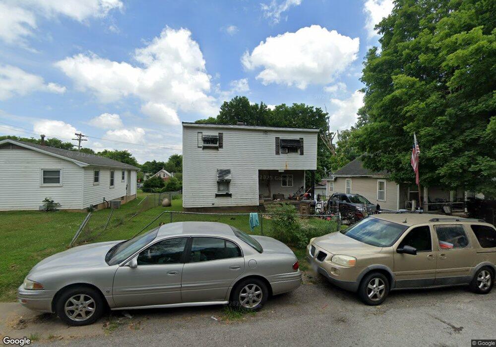
1004 S Benton St Cape Girardeau, MO 63703
Estimated Value: $72,000 - $82,000
3
Beds
2
Baths
4
Sq Ft
$19,312/Sq Ft
Est. Value
About This Home
This home is located at 1004 S Benton St, Cape Girardeau, MO 63703 and is currently estimated at $77,250, approximately $19,312 per square foot. 1004 S Benton St is a home located in Cape Girardeau County with nearby schools including Jefferson Elementary School, Central Junior High School, and Central Middle School.
Ownership History
Date
Name
Owned For
Owner Type
Purchase Details
Closed on
Oct 19, 2018
Sold by
Arnzen Revocable Trust
Bought by
1004 Benton Llc
Current Estimated Value
Purchase Details
Closed on
Nov 14, 2011
Sold by
Williams Ashley
Bought by
The Rick Arnzen Revocable Trust
Purchase Details
Closed on
Sep 25, 2006
Sold by
Tallman Gary and Tallman Darlene
Bought by
Prater Phillip and Prater Mandy
Home Financials for this Owner
Home Financials are based on the most recent Mortgage that was taken out on this home.
Original Mortgage
$76,000
Interest Rate
6.51%
Mortgage Type
New Conventional
Create a Home Valuation Report for This Property
The Home Valuation Report is an in-depth analysis detailing your home's value as well as a comparison with similar homes in the area
Home Values in the Area
Average Home Value in this Area
Purchase History
| Date | Buyer | Sale Price | Title Company |
|---|---|---|---|
| 1004 Benton Llc | -- | None Available | |
| The Rick Arnzen Revocable Trust | -- | Cape Girardean County Abstra | |
| Prater Phillip | -- | None Available |
Source: Public Records
Mortgage History
| Date | Status | Borrower | Loan Amount |
|---|---|---|---|
| Previous Owner | Prater Phillip | $76,000 |
Source: Public Records
Tax History Compared to Growth
Tax History
| Year | Tax Paid | Tax Assessment Tax Assessment Total Assessment is a certain percentage of the fair market value that is determined by local assessors to be the total taxable value of land and additions on the property. | Land | Improvement |
|---|---|---|---|---|
| 2025 | $1 | $2,990 | $590 | $2,400 |
| 2024 | $1 | $2,850 | $560 | $2,290 |
| 2023 | $148 | $2,850 | $560 | $2,290 |
| 2022 | $136 | $2,620 | $510 | $2,110 |
| 2021 | $136 | $2,620 | $510 | $2,110 |
| 2020 | $137 | $2,620 | $510 | $2,110 |
| 2019 | $136 | $2,620 | $0 | $0 |
| 2018 | $136 | $2,620 | $0 | $0 |
| 2017 | $136 | $2,620 | $0 | $0 |
| 2016 | $128 | $2,470 | $0 | $0 |
| 2015 | $128 | $2,470 | $0 | $0 |
| 2014 | $129 | $2,470 | $0 | $0 |
Source: Public Records
Map
Nearby Homes
- 811 Elm St
- 914 S Sprigg St
- 730 S Ellis St
- 701 S Benton St
- 631 S Benton St
- 700 S Ellis St
- 1110 Ranney Ave
- 1102 College St
- 541 S Ellis St
- 1211 College St
- 530 S Frederick St Unit REAR
- 539 Asher St
- 327 S Hanover St
- 431 S West End Blvd
- 1317 Bloomfield Rd
- 427 S Louisiana St
- 624 Louis St
- 926 William St
- 1903 Brink Ave
- 1114 William St
- 1016 S Benton St
- 931 Locust St
- 1018 S Benton St
- 1022 S Benton St
- 934 S Benton St
- 1001 Locust St
- 1005 S Benton St
- 1001 S Pacific St
- 1003 Locust St
- 1024 S Benton St
- 1003 S Pacific St
- 1007 S Pacific St
- 930 S Benton St
- 1011 S Pacific St
- 1005 Locust St
- 939 S Pacific St
- 920 S Benton St
- 1017 S Pacific St
- 921 S Pacific St
- 1006 Locust St