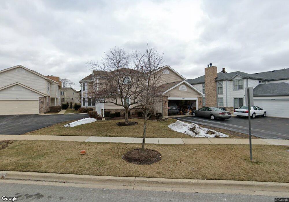
1004 Sweetflower Dr Hoffman Estates, IL 60169
South Hoffman Estates NeighborhoodEstimated Value: $417,984 - $481,000
3
Beds
3
Baths
2,106
Sq Ft
$214/Sq Ft
Est. Value
About This Home
This home is located at 1004 Sweetflower Dr, Hoffman Estates, IL 60169 and is currently estimated at $451,246, approximately $214 per square foot. 1004 Sweetflower Dr is a home located in Cook County with nearby schools including Neil Armstrong Elementary School, Helen Keller Junior High School, and Hoffman Estates High School.
Ownership History
Date
Name
Owned For
Owner Type
Purchase Details
Closed on
Mar 2, 2001
Sold by
Han Yong Hak and Han Yun Soo
Bought by
Mahadevan Subramanian and Puvvada Sukanya
Current Estimated Value
Home Financials for this Owner
Home Financials are based on the most recent Mortgage that was taken out on this home.
Original Mortgage
$181,600
Outstanding Balance
$63,568
Interest Rate
7.18%
Estimated Equity
$387,678
Purchase Details
Closed on
Aug 14, 1997
Sold by
Bonanno Phillip S and Bonanno Phillip T
Bought by
Han Yong Hak and Han Yun Soo
Home Financials for this Owner
Home Financials are based on the most recent Mortgage that was taken out on this home.
Original Mortgage
$100,000
Interest Rate
7.65%
Create a Home Valuation Report for This Property
The Home Valuation Report is an in-depth analysis detailing your home's value as well as a comparison with similar homes in the area
Home Values in the Area
Average Home Value in this Area
Purchase History
| Date | Buyer | Sale Price | Title Company |
|---|---|---|---|
| Mahadevan Subramanian | $227,000 | -- | |
| Han Yong Hak | $126,666 | Attorneys Natl Title Network |
Source: Public Records
Mortgage History
| Date | Status | Borrower | Loan Amount |
|---|---|---|---|
| Open | Mahadevan Subramanian | $181,600 | |
| Previous Owner | Han Yong Hak | $100,000 |
Source: Public Records
Tax History
| Year | Tax Paid | Tax Assessment Tax Assessment Total Assessment is a certain percentage of the fair market value that is determined by local assessors to be the total taxable value of land and additions on the property. | Land | Improvement |
|---|---|---|---|---|
| 2025 | $8,496 | $41,001 | $4,908 | $36,093 |
| 2024 | $8,496 | $31,000 | $5,500 | $25,500 |
| 2023 | $8,191 | $31,000 | $5,500 | $25,500 |
| 2022 | $8,191 | $31,000 | $5,500 | $25,500 |
| 2021 | $7,884 | $26,862 | $2,600 | $24,262 |
| 2020 | $7,774 | $26,862 | $2,600 | $24,262 |
| 2019 | $7,734 | $29,847 | $2,600 | $27,247 |
| 2018 | $8,755 | $30,286 | $2,208 | $28,078 |
| 2017 | $8,619 | $30,286 | $2,208 | $28,078 |
| 2016 | $8,279 | $30,286 | $2,208 | $28,078 |
| 2015 | $7,906 | $27,240 | $1,913 | $25,327 |
| 2014 | $7,784 | $27,240 | $1,913 | $25,327 |
| 2013 | $7,566 | $27,240 | $1,913 | $25,327 |
Source: Public Records
Map
Nearby Homes
- 1103 Southbridge Ln
- 1708 Southbridge Ct
- 1975 Leiter Way Unit 12002
- 1982 Leiter Way Unit 13004
- 1985 Leiter Way Unit 1102
- 1988 Leiter Way Unit 13001
- 1979 Leiter Way Unit 12004
- 1981 Leiter Way Unit 12005
- 1994 Leiter Way Unit 14003
- 1977 Leiter Way Unit 12003
- 1986 Leiter Way Unit 13002
- 1989 Leiter Way Unit 11004
- 845 Harmon Blvd
- 1026 Denham Place Unit 1
- 1365 Newcastle Ln
- 1975 Windsong Dr Unit 333E1
- 1300 Chatsworth Ln
- 1880 Bonnie Ln Unit 416
- 1880 Bonnie Ln Unit 112
- 1587 Brookside Dr
- 1000 Sweetflower Dr
- 1010 Sweetflower Dr
- 994 Sweetflower Dr
- 1014 Sweetflower Dr
- 990 Sweetflower Dr
- 1025 Southbridge Ln
- 1021 Southbridge Ln
- 1020 Sweetflower Dr
- 1027 Southbridge Ln
- 1019 Southbridge Ln
- 984 Sweetflower Dr
- 1024 Sweetflower Dr
- 1101 Southbridge Ln
- 1015 Southbridge Ln
- 1011 Sweetflower Dr
- 1005 Sweetflower Dr
- 980 Sweetflower Dr
- 1001 Sweetflower Dr
- 1013 Southbridge Ln
- 1030 Sweetflower Dr
Your Personal Tour Guide
Ask me questions while you tour the home.