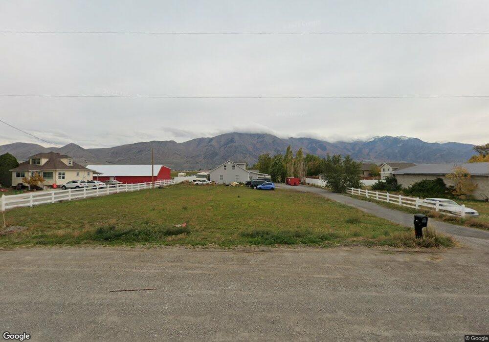
10040 N 5200 W Tremonton, UT 84337
Estimated Value: $463,004 - $559,000
6
Beds
3
Baths
2,416
Sq Ft
$210/Sq Ft
Est. Value
About This Home
This home is located at 10040 N 5200 W, Tremonton, UT 84337 and is currently estimated at $507,001, approximately $209 per square foot. 10040 N 5200 W is a home located in Box Elder County with nearby schools including McKinley School, Bear River Middle School, and Alice C. Harris Intermediate School.
Ownership History
Date
Name
Owned For
Owner Type
Purchase Details
Closed on
Jul 26, 2024
Sold by
Duran Jeremiah A L and Duran Candis A
Bought by
Duran Jeremiah and Duran Candis
Current Estimated Value
Home Financials for this Owner
Home Financials are based on the most recent Mortgage that was taken out on this home.
Original Mortgage
$403,118
Outstanding Balance
$397,824
Interest Rate
6.87%
Mortgage Type
FHA
Estimated Equity
$109,177
Purchase Details
Closed on
Aug 30, 2022
Sold by
Patricia Mcavoy
Bought by
Duran Jeremiah A L and Duran Candis A
Home Financials for this Owner
Home Financials are based on the most recent Mortgage that was taken out on this home.
Original Mortgage
$13,475
Interest Rate
4.85%
Purchase Details
Closed on
Aug 5, 2020
Sold by
Mcavoy Brian
Bought by
Mcavoy Patricia
Purchase Details
Closed on
Oct 7, 2016
Sold by
Mcavoy Brian P
Bought by
Mcavoy Brian and Mcavoy Patricia
Home Financials for this Owner
Home Financials are based on the most recent Mortgage that was taken out on this home.
Original Mortgage
$152,625
Interest Rate
3.46%
Mortgage Type
FHA
Purchase Details
Closed on
Sep 3, 2013
Sold by
Federal National Mortgage Association
Bought by
Mcavoy Brian P
Home Financials for this Owner
Home Financials are based on the most recent Mortgage that was taken out on this home.
Original Mortgage
$84,400
Interest Rate
4.27%
Mortgage Type
New Conventional
Purchase Details
Closed on
Sep 19, 2012
Sold by
Burden Jonathan G and Burden Kandi D
Bought by
Federal National Mortgage Association
Purchase Details
Closed on
Apr 27, 2007
Sold by
Burden Jonathan G and Burden Kandi D
Bought by
Burden Jonathan G and Burden Kandi D
Purchase Details
Closed on
Jul 5, 2006
Sold by
Simmons Karey and Simmons Karey Lei
Bought by
Burden Jonathon G and Burden Kandi D
Create a Home Valuation Report for This Property
The Home Valuation Report is an in-depth analysis detailing your home's value as well as a comparison with similar homes in the area
Purchase History
| Date | Buyer | Sale Price | Title Company |
|---|---|---|---|
| Duran Jeremiah | -- | Stewart Title | |
| Duran Jeremiah A L | -- | -- | |
| Mcavoy Patricia | -- | Accommodation | |
| Mcavoy Brian | -- | Advanced Title | |
| Mcavoy Brian P | -- | Orange Title Insurance Age | |
| Federal National Mortgage Association | -- | Orange Title Insurance Agen | |
| Burden Jonathan G | -- | American Secure Title | |
| Burden Jonathon G | -- | Phillips Hansen Land Title C |
Source: Public Records
Mortgage History
| Date | Status | Borrower | Loan Amount |
|---|---|---|---|
| Open | Duran Jeremiah | $403,118 | |
| Previous Owner | Duran Jeremiah A L | $13,475 | |
| Previous Owner | Duran Jeremiah A L | $378,026 | |
| Previous Owner | Mcavoy Brian | $152,625 | |
| Previous Owner | Mcavoy Brian P | $84,400 |
Source: Public Records
Tax History
| Year | Tax Paid | Tax Assessment Tax Assessment Total Assessment is a certain percentage of the fair market value that is determined by local assessors to be the total taxable value of land and additions on the property. | Land | Improvement |
|---|---|---|---|---|
| 2025 | $2,249 | $423,134 | $130,000 | $293,134 |
| 2024 | $2,003 | $427,920 | $128,000 | $299,920 |
| 2023 | $1,988 | $433,395 | $135,000 | $298,395 |
| 2022 | $1,771 | $197,069 | $26,675 | $170,394 |
| 2021 | $1,566 | $251,563 | $48,500 | $203,063 |
| 2020 | $1,452 | $251,563 | $48,500 | $203,063 |
| 2019 | $1,162 | $104,914 | $25,821 | $79,093 |
| 2018 | $1,240 | $104,914 | $25,821 | $79,093 |
| 2017 | $1,285 | $190,753 | $25,821 | $143,805 |
| 2016 | $1,273 | $101,148 | $25,821 | $75,327 |
| 2015 | $1,168 | $94,300 | $25,821 | $68,479 |
| 2014 | $1,168 | $91,039 | $25,821 | $65,218 |
| 2013 | -- | $91,039 | $25,821 | $65,218 |
Source: Public Records
Map
Nearby Homes
- 10283 N Vista Ln
- 10295 N Vista Ln
- 8321 W 10800 N Unit 35
- 9310 N 5600 W Unit 4
- 9310 N 5600 W
- 9270 N 5600 W
- 9310 N 6000 W Unit 1
- 1215 S 100 E
- 4693 W 9120 N
- 71 E 1225 S
- 68 E 1225 S
- 44 E 1225 S
- 1720 E Main St Unit 502
- 1720 E Main St Unit 501
- 1720 E Main St Unit 403
- 1720 E Main St Unit 503
- 1086 S 150 W
- 228 W 1300 S
- 228 W 1300 S Unit 16
- 236 W 1250 S
Your Personal Tour Guide
Ask me questions while you tour the home.