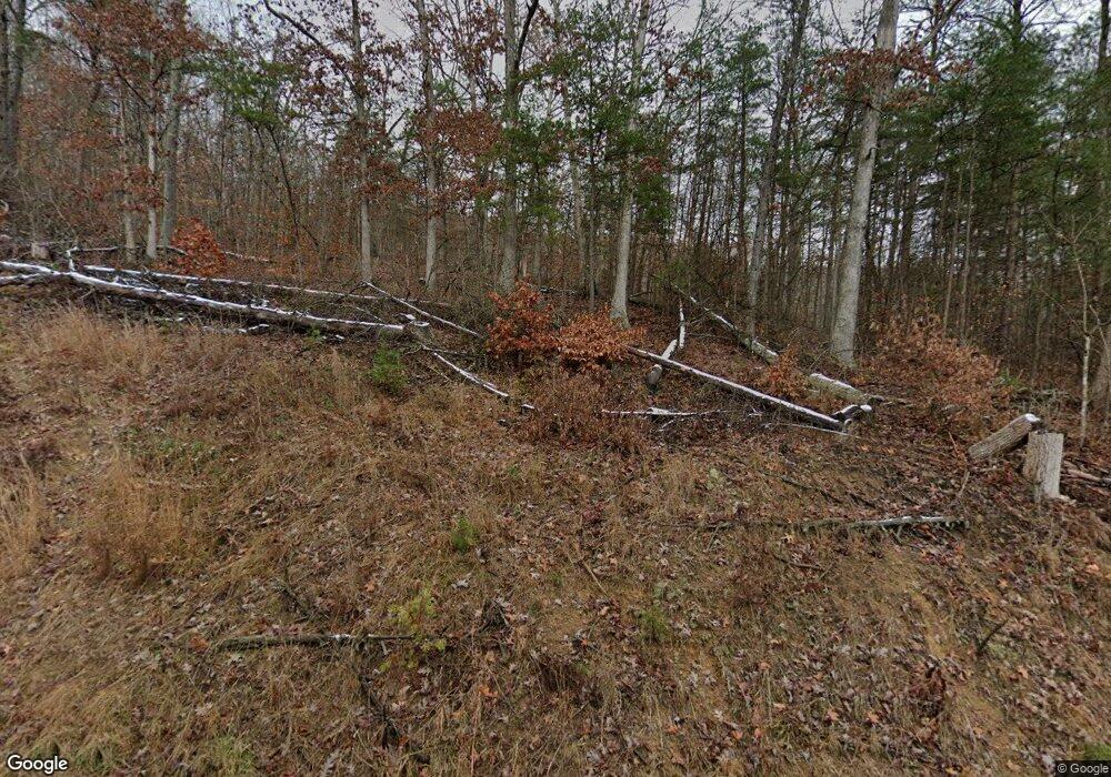
10041 State Route 2 Greenup, KY 41144
Estimated Value: $57,000 - $74,000
--
Bed
--
Bath
1,368
Sq Ft
$49/Sq Ft
Est. Value
About This Home
This home is located at 10041 State Route 2, Greenup, KY 41144 and is currently estimated at $67,632, approximately $49 per square foot. 10041 State Route 2 is a home with nearby schools including Greenup County High School.
Ownership History
Date
Name
Owned For
Owner Type
Purchase Details
Closed on
Sep 15, 2022
Sold by
Amera Hatfield
Bought by
Moore Kevin
Current Estimated Value
Purchase Details
Closed on
Oct 18, 2021
Sold by
Edward Nichols Jr
Bought by
Hatfield Amera and Moore Kevin
Purchase Details
Closed on
Oct 11, 2019
Sold by
Nichols Edward
Bought by
Nichols Edward L and Nichols Laura A
Purchase Details
Closed on
Jun 20, 2019
Sold by
Berkley Patricia Carol
Bought by
Nichols Edward
Create a Home Valuation Report for This Property
The Home Valuation Report is an in-depth analysis detailing your home's value as well as a comparison with similar homes in the area
Home Values in the Area
Average Home Value in this Area
Purchase History
| Date | Buyer | Sale Price | Title Company |
|---|---|---|---|
| Moore Kevin | $20,000 | -- | |
| Hatfield Amera | $20,000 | Mcginnis Leslie Pllc | |
| Nichols Edward L | $38,000 | None Available | |
| Nichols Edward | $38,000 | None Available |
Source: Public Records
Tax History Compared to Growth
Tax History
| Year | Tax Paid | Tax Assessment Tax Assessment Total Assessment is a certain percentage of the fair market value that is determined by local assessors to be the total taxable value of land and additions on the property. | Land | Improvement |
|---|---|---|---|---|
| 2024 | $222 | $20,000 | $10,000 | $10,000 |
| 2023 | $209 | $20,000 | $10,000 | $10,000 |
| 2022 | $203 | $20,000 | $10,000 | $10,000 |
| 2021 | $479 | $38,000 | $10,000 | $28,000 |
| 2020 | $472 | $38,000 | $10,000 | $28,000 |
| 2019 | $509 | $38,000 | $10,000 | $28,000 |
| 2018 | -- | $39,577 | $9,425 | $30,152 |
| 2017 | -- | $33,052 | $2,900 | $30,152 |
| 2016 | -- | $33,052 | $2,900 | $30,152 |
| 2015 | -- | $33,052 | $2,900 | $30,152 |
| 2014 | -- | $33,052 | $2,900 | $30,152 |
| 2011 | -- | $33,052 | $2,900 | $30,152 |
Source: Public Records
Map
Nearby Homes
- 1834 Howe Hollow Hoods Run Rd
- 127 Neace
- 68 Furnace Ln
- 598 Cooper Rd
- 107 McGuire Cemetery Rd
- 1552 Claylick Creek
- 572 Clydesdale
- 0 Copperhead Rd
- 0 Claylick Creek
- 439 Mud Lick Rd
- 0000 Emma Kay Blvd
- 0 Bourbon Street Lots 20 & 21
- 00 Blackbird Branch
- Wurtland 0
- 294 Muirfield
- 238 Whetstone Rd
- 0 Baseball Hill
- 0 Brushy Creek Rd
- 0 Duck Puddle Rd
- 3567 Leatherwood Rd
- 229 Gartin Dr
- 66 John Deere Ln
- 10175 State Route 2
- 9827 State Route 2
- 10168 State Route 2
- 189 Hilltop View
- 10496 State Route 2
- 129 Stringtown Rd
- 847 Holbrook Ridge
- 278 Hoods Run Rd
- 594 Hoods Run Rd
- 8901 State Route 2
- 103 Ashmoore Dr
- 613 Holbrook Ridge
- 8845 State Route 2
- 20385 State Route 7
- 441 Hoods Run Rd
- 20453 State Route 7
- 20223 State Route 7
- 20179 State Route 7
