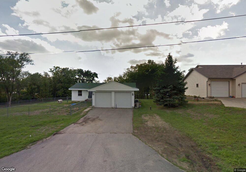
10044 Sunset Dr Roscoe, IL 61073
Estimated Value: $252,000 - $277,000
3
Beds
1
Bath
1,264
Sq Ft
$210/Sq Ft
Est. Value
About This Home
This home is located at 10044 Sunset Dr, Roscoe, IL 61073 and is currently estimated at $265,013, approximately $209 per square foot. 10044 Sunset Dr is a home located in Winnebago County with nearby schools including Ledgewood Elementary School, Kinnikinnick School, and Stone Creek School.
Ownership History
Date
Name
Owned For
Owner Type
Purchase Details
Closed on
Nov 11, 2022
Sold by
Sprague William M
Bought by
William Sprague Family Trust
Current Estimated Value
Purchase Details
Closed on
May 16, 2019
Sold by
Sprague Mary L
Bought by
Sprague William
Home Financials for this Owner
Home Financials are based on the most recent Mortgage that was taken out on this home.
Original Mortgage
$102,864
Interest Rate
3.99%
Mortgage Type
New Conventional
Create a Home Valuation Report for This Property
The Home Valuation Report is an in-depth analysis detailing your home's value as well as a comparison with similar homes in the area
Home Values in the Area
Average Home Value in this Area
Purchase History
| Date | Buyer | Sale Price | Title Company |
|---|---|---|---|
| William Sprague Family Trust | -- | -- | |
| Sprague William | -- | None Listed On Document |
Source: Public Records
Mortgage History
| Date | Status | Borrower | Loan Amount |
|---|---|---|---|
| Previous Owner | Sprague William | $102,864 |
Source: Public Records
Tax History
| Year | Tax Paid | Tax Assessment Tax Assessment Total Assessment is a certain percentage of the fair market value that is determined by local assessors to be the total taxable value of land and additions on the property. | Land | Improvement |
|---|---|---|---|---|
| 2024 | $5,083 | $71,053 | $31,917 | $39,136 |
| 2022 | $4,465 | $58,291 | $26,184 | $32,107 |
| 2021 | $4,077 | $50,235 | $24,597 | $25,638 |
| 2020 | $3,992 | $48,410 | $23,703 | $24,707 |
| 2019 | $3,874 | $46,241 | $22,641 | $23,600 |
| 2018 | $3,633 | $44,433 | $21,756 | $22,677 |
| 2017 | $3,739 | $42,856 | $20,984 | $21,872 |
| 2016 | $3,582 | $42,168 | $20,647 | $21,521 |
| 2015 | $3,424 | $40,963 | $20,057 | $20,906 |
| 2014 | $3,155 | $40,446 | $19,804 | $20,642 |
Source: Public Records
Map
Nearby Homes
- 5652 Karakul Terrace
- 6395 Greystone
- 0000 Joncey Dr
- 10662 Chicory Ridge Way
- 410 Pine White #102-B Rd
- 5488 Mahogany Ln
- 5383 Mahogany Ln
- 5343 Mahogany Ln
- 10138 Monarch Rd
- 10138 Monarch Rd Unit 4
- 5476 Ebonywood Ln
- 5421 Ebonywood Ln
- 8535 Springwood Ct
- 8511 Fig Tree Ln
- 5371 Heartwood Ln
- 11578 Edgemere Terrace
- 10458 Main St
- 5447 Autumnash Ln
- 10853 Lemon Grass Ln
- 638 Merrion Rd
- 10072 Sunset Dr
- 10096 Sunset Dr
- 10016 Sunset Dr
- 10102 Sunset Dr
- 10128 Sunset Dr
- 10140 Sunset Dr
- 9976 Sunset Dr
- 10154 Sunset Dr
- 10050 N 2nd St
- 10050 N 2nd St
- 10050 N 2nd St
- 10168 Sunset Dr
- 10050 & 10054 N Main St
- 10180 Sunset Dr
- 10136 Main St
- 10198 Sunset Dr
- 10064 Main St
- 10210 Sunset Dr
- 9896 Fantail Place
- 10054 N 2nd St
Your Personal Tour Guide
Ask me questions while you tour the home.