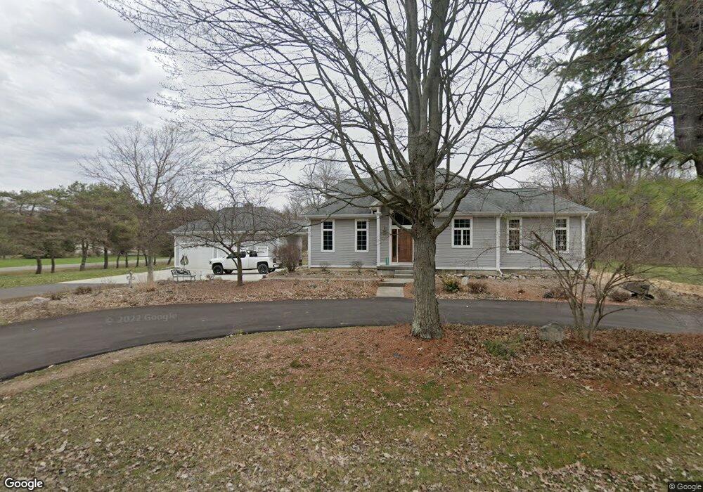
10045 Block Rd Birch Run, MI 48415
Estimated Value: $305,000 - $432,000
3
Beds
3
Baths
2,270
Sq Ft
$157/Sq Ft
Est. Value
About This Home
This home is located at 10045 Block Rd, Birch Run, MI 48415 and is currently estimated at $356,135, approximately $156 per square foot. 10045 Block Rd is a home located in Saginaw County with nearby schools including North Elementary School, Marshall Greene Middle School, and Birch Run High School.
Ownership History
Date
Name
Owned For
Owner Type
Purchase Details
Closed on
Jun 12, 2020
Sold by
Frankenmuth Credit Union
Bought by
Opperman James R
Current Estimated Value
Home Financials for this Owner
Home Financials are based on the most recent Mortgage that was taken out on this home.
Original Mortgage
$133,000
Outstanding Balance
$93,498
Interest Rate
3.2%
Mortgage Type
New Conventional
Estimated Equity
$262,637
Purchase Details
Closed on
Aug 20, 2010
Sold by
Opperman James and Opperman Lori
Bought by
Frankenmuth Credit Union
Purchase Details
Closed on
Jun 17, 1997
Sold by
Engelhardt Scott
Bought by
Opperman James and Opperman Lori
Purchase Details
Closed on
Jul 31, 1987
Create a Home Valuation Report for This Property
The Home Valuation Report is an in-depth analysis detailing your home's value as well as a comparison with similar homes in the area
Home Values in the Area
Average Home Value in this Area
Purchase History
| Date | Buyer | Sale Price | Title Company |
|---|---|---|---|
| Opperman James R | $164,000 | Title Resource Agency | |
| Frankenmuth Credit Union | $162,554 | -- | |
| Opperman James | -- | -- | |
| -- | $32,000 | -- |
Source: Public Records
Mortgage History
| Date | Status | Borrower | Loan Amount |
|---|---|---|---|
| Open | Opperman James R | $133,000 |
Source: Public Records
Tax History
| Year | Tax Paid | Tax Assessment Tax Assessment Total Assessment is a certain percentage of the fair market value that is determined by local assessors to be the total taxable value of land and additions on the property. | Land | Improvement |
|---|---|---|---|---|
| 2025 | $1,115 | $170,200 | $0 | $0 |
| 2024 | $1,081 | $159,300 | $0 | $0 |
| 2023 | $1,030 | $144,000 | $0 | $0 |
| 2022 | $2,892 | $123,200 | $0 | $0 |
| 2021 | $2,657 | $113,400 | $0 | $0 |
| 2020 | $2,613 | $106,700 | $0 | $0 |
| 2019 | $2,478 | $99,200 | $14,700 | $84,500 |
| 2018 | $898 | $89,900 | $0 | $0 |
| 2017 | $2,235 | $87,000 | $0 | $0 |
| 2016 | $2,148 | $81,100 | $0 | $0 |
| 2014 | -- | $78,000 | $0 | $66,800 |
| 2013 | -- | $77,600 | $0 | $0 |
Source: Public Records
Map
Nearby Homes
- 9941 Block Rd
- 12847 Rathbun Rd
- 12401 Canada Rd
- 10722 Gera Rd
- 9166 Millington Rd
- 12351 Gera Rd
- 226 List St
- 12895 E Curtis Rd
- 9560 Birch Run Rd
- 9351 Lange Rd
- 140 W Jefferson St
- 8753 Brewer Rd
- 8651 Canada Rd
- 0000 Dixie Highway Dixie Hwy
- 12091 E Tuscola Rd
- 936 Flora Ct
- 9300 Ormes Rd
- VL S Beyer Rd
- 168 Kingsbrook Dr
- 235 Cherry St
- 10020 Block Rd
- 10080 Block Rd
- 9995 Block Rd
- 12099 Rathbun Rd
- 11955 Rathbun Rd
- 11940 Rathbun Rd
- 12121 Rathbun Rd
- 9941 Block Rd
- 12230 Rathbun Rd
- 9900 S Block Rd
- 9900 S Block
- 11889 Rathbun Rd
- 12161 Rathbun Rd
- 11903 Rathbun Rd
- 10220 Block Rd
- 9850 S Block Rd
- 9821 Block Rd
- 10245 S Block Rd
- 12225 Rathbun Rd
- 11784 Rathbun Rd
Your Personal Tour Guide
Ask me questions while you tour the home.