10048 Deer Creek Rd Weatherford, OK 73096
Estimated Value: $328,971 - $453,000
4
Beds
3
Baths
3,155
Sq Ft
$121/Sq Ft
Est. Value
About This Home
This home is located at 10048 Deer Creek Rd, Weatherford, OK 73096 and is currently estimated at $381,493, approximately $120 per square foot. 10048 Deer Creek Rd is a home located in Custer County with nearby schools including Burcham Elementary School, Lt. General Thomas P. Stafford Elementary School, and Weatherford West Elementary School.
Ownership History
Date
Name
Owned For
Owner Type
Purchase Details
Closed on
Mar 15, 2022
Sold by
Anson William and Anson Sherri
Bought by
Baker Randy A
Current Estimated Value
Home Financials for this Owner
Home Financials are based on the most recent Mortgage that was taken out on this home.
Original Mortgage
$277,648
Outstanding Balance
$259,684
Interest Rate
4.17%
Mortgage Type
Construction
Estimated Equity
$121,809
Purchase Details
Closed on
Oct 6, 2011
Sold by
Anson William
Bought by
Anson William and Herri Mil
Purchase Details
Closed on
Jun 30, 2011
Sold by
Steven D Caldwell
Bought by
Anson William
Purchase Details
Closed on
Mar 22, 2011
Sold by
Davis John
Bought by
Caldwell Steven D
Purchase Details
Closed on
Apr 25, 2006
Sold by
Fred K Bailey
Bought by
John Davis
Create a Home Valuation Report for This Property
The Home Valuation Report is an in-depth analysis detailing your home's value as well as a comparison with similar homes in the area
Home Values in the Area
Average Home Value in this Area
Purchase History
| Date | Buyer | Sale Price | Title Company |
|---|---|---|---|
| Baker Randy A | $268,000 | Smith Title & Closing Llc | |
| Anson William | -- | -- | |
| Anson William | $190,000 | -- | |
| Caldwell Steven D | $200,000 | -- | |
| John Davis | -- | -- |
Source: Public Records
Mortgage History
| Date | Status | Borrower | Loan Amount |
|---|---|---|---|
| Open | Baker Randy A | $277,648 |
Source: Public Records
Tax History Compared to Growth
Tax History
| Year | Tax Paid | Tax Assessment Tax Assessment Total Assessment is a certain percentage of the fair market value that is determined by local assessors to be the total taxable value of land and additions on the property. | Land | Improvement |
|---|---|---|---|---|
| 2025 | $2,679 | $28,161 | $2,021 | $26,140 |
| 2024 | $2,679 | $28,161 | $2,021 | $26,140 |
| 2023 | $2,679 | $29,480 | $1,902 | $27,578 |
| 2022 | $2,558 | $27,583 | $2,021 | $25,562 |
| 2021 | $2,500 | $26,780 | $2,021 | $24,759 |
| 2020 | $2,519 | $26,000 | $2,021 | $23,979 |
| 2019 | $2,468 | $25,242 | $2,675 | $22,567 |
| 2018 | $2,175 | $24,508 | $2,596 | $21,912 |
| 2017 | $2,148 | $23,794 | $2,637 | $21,157 |
| 2016 | $2,103 | $23,102 | $2,503 | $20,599 |
| 2015 | $2,068 | $22,428 | $2,660 | $19,768 |
| 2014 | $2,001 | $21,775 | $2,787 | $18,988 |
Source: Public Records
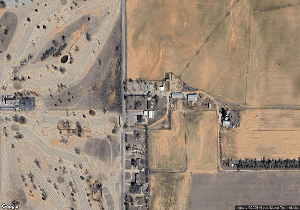
Map
Nearby Homes
- 3417 Lyle Rd
- 2204 Palmer Dr
- 24370 E 1006 Rd
- 0 Norman Dr
- 2220 Stratta Dr
- 0 Lyle Rd
- 3516 Nicklaus Dr
- 2205 Pinnacle Dr
- 2003 Mickelson Dr
- 2005 Mickelson Dr
- 2001 Mickelson Dr
- 2101 Club House Dr
- 2001 Pinnacle Dr
- 2701 Falling Leaves Dr
- 2310 Peach Ave
- 2020 E Lawter Rd
- 1920 Lawter Rd
- 2113 Morgandee Ln
- 2308 Lynn Ln
- 3001 Lyle Rd
- 10048 Deer Creek Rd
- 10052 Deer Creek Rd
- 10046 Deer Creek Rd
- 10054 Deer Creek Rd
- 10058 Deer Creek Rd
- 10060 Deer Creek Rd
- 10060 Deer Creek Rd
- 10060 Deer Creek Rd
- 10022 Deer Creek Rd
- 10064 Deer Creek Rd
- 10066 Deer Creek Rd
- 10068 Deer Creek Rd
- 10068 Deer Creek Rd
- 10070 Deer Creek Rd
- 10024 Deer Creek Rd
- 10074 Deer Creek Rd
- 10076 Deer Creek Rd
- 112 Stablegate
- 10078 Deer Creek Rd
- 108 Stablegate