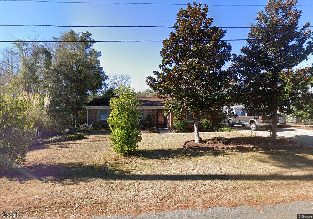
1005 9th Ave S North Myrtle Beach, SC 29582
Ocean Drive NeighborhoodEstimated Value: $309,000 - $467,000
3
Beds
2
Baths
1,632
Sq Ft
$247/Sq Ft
Est. Value
About This Home
This home is located at 1005 9th Ave S, North Myrtle Beach, SC 29582 and is currently estimated at $403,761, approximately $247 per square foot. 1005 9th Ave S is a home located in Horry County with nearby schools including Ocean Drive Elementary School, North Myrtle Beach Middle School, and North Myrtle Beach High School.
Ownership History
Date
Name
Owned For
Owner Type
Purchase Details
Closed on
Nov 16, 2006
Sold by
Vincent Carole and James P Smigiel Estate
Bought by
Carter David Lewis and Carter Eva L
Current Estimated Value
Home Financials for this Owner
Home Financials are based on the most recent Mortgage that was taken out on this home.
Original Mortgage
$211,375
Outstanding Balance
$156,796
Interest Rate
11.35%
Mortgage Type
Purchase Money Mortgage
Estimated Equity
$246,965
Create a Home Valuation Report for This Property
The Home Valuation Report is an in-depth analysis detailing your home's value as well as a comparison with similar homes in the area
Home Values in the Area
Average Home Value in this Area
Purchase History
| Date | Buyer | Sale Price | Title Company |
|---|---|---|---|
| Carter David Lewis | $222,500 | None Available |
Source: Public Records
Mortgage History
| Date | Status | Borrower | Loan Amount |
|---|---|---|---|
| Open | Carter David Lewis | $211,375 |
Source: Public Records
Tax History Compared to Growth
Tax History
| Year | Tax Paid | Tax Assessment Tax Assessment Total Assessment is a certain percentage of the fair market value that is determined by local assessors to be the total taxable value of land and additions on the property. | Land | Improvement |
|---|---|---|---|---|
| 2024 | $1,070 | $14,030 | $7,236 | $6,794 |
| 2023 | $1,070 | $8,686 | $2,416 | $6,270 |
| 2021 | $940 | $9,054 | $2,778 | $6,276 |
| 2020 | $919 | $9,054 | $2,778 | $6,276 |
| 2019 | $850 | $9,054 | $2,778 | $6,276 |
| 2018 | $798 | $8,606 | $946 | $7,660 |
| 2017 | $783 | $8,606 | $946 | $7,660 |
| 2016 | -- | $8,606 | $946 | $7,660 |
| 2015 | $768 | $8,606 | $946 | $7,660 |
| 2014 | $713 | $8,606 | $946 | $7,660 |
Source: Public Records
Map
Nearby Homes
- 917 9th Ave S
- 817 Belle Dr
- 1014 Thomas Ave
- 916 Belle Dr
- MADISON Plan at Belle Park
- BRADFORD Plan at Belle Park
- BELFORT Plan at Belle Park
- HARBOR OAK Plan at Belle Park
- TILLMAN Plan at Belle Park
- FORRESTER Plan at Belle Park
- CUMBERLAND Plan at Belle Park
- 805 Belle Dr
- 822 Belle Dr
- 1613 Crested Iris Way Unit Phase 4 Lot 385
- 1125 Lady Bird Way Unit (Phase 2 Lot 493)
- 1129 Lady Bird Way Unit (Phase 2 Lot 494)
- 1174 Lady Bird Way Unit (Phase 2 Lot 595)
- 1221 Lady Bird Way Unit (Phase 2 Lot 514)
- 1181 Lady Bird Way Unit (Phase 2 Lot 507)
- 1205 Lady Bird Way Unit (Phase 2 Lot 510)
- 1007 9th Ave S
- 1003 9th Ave S
- 1004 Thomas Ave
- 1006 Thomas Ave
- 1002 Thomas Ave
- 1006 9th Ave S
- 1002 9th Ave S
- 1009 9th Ave S
- 1008 9th Ave S
- 925 W Lake St Unit 9M
- 926W W Lake St
- 1008 Thomas Ave
- 803 Dargan St
- 1005 Thomas Ave Unit Belle Park
- 1005 Thomas Ave
- 1007 Thomas Ave
- 802 E Lake St
- 804 Dargan St Unit 806
- 1003 Thomas Ave
- 1009 Thomas Ave