Estimated Value: $259,943 - $1,579,000
3
Beds
2
Baths
1,301
Sq Ft
$483/Sq Ft
Est. Value
About This Home
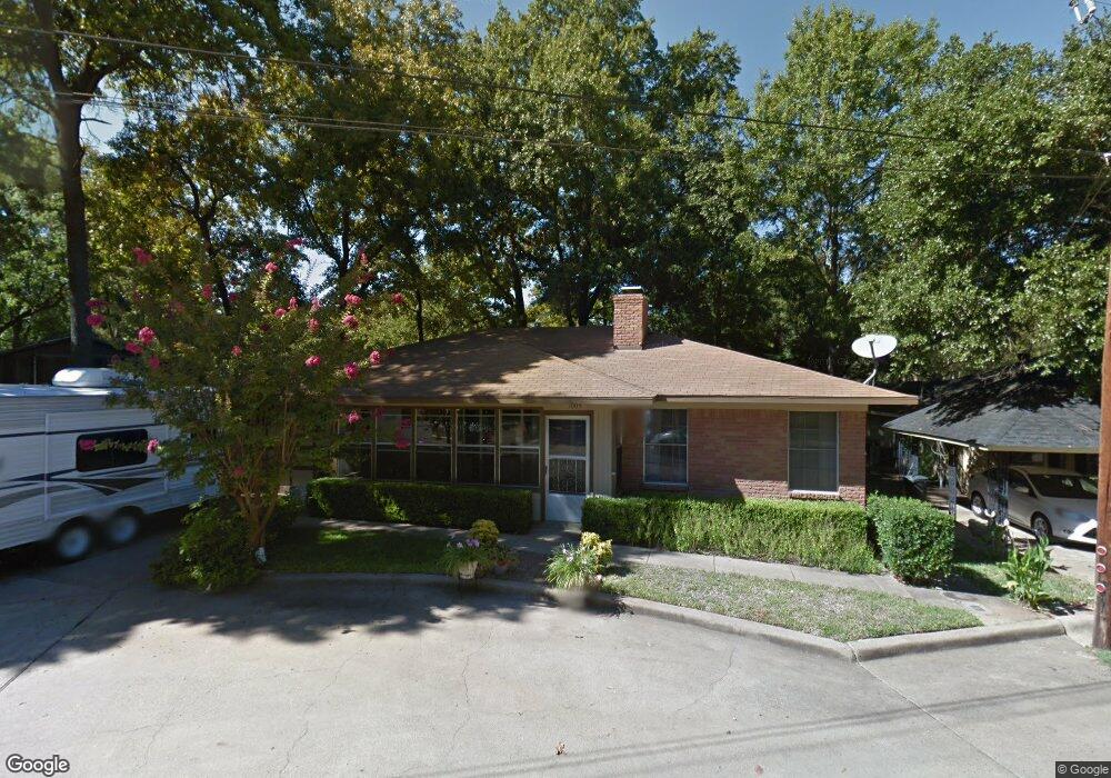
This home is located at 1005 Beverly Cir, Tool, TX 75143 and is currently estimated at $628,486, approximately $483 per square foot. 1005 Beverly Cir is a home located in Henderson County with nearby schools including Malakoff High School.
Ownership History
Date
Name
Owned For
Owner Type
Purchase Details
Closed on
Oct 19, 2024
Sold by
Adams Daniel Clyde and Adams Vicki Lynn
Bought by
Adams Daniel Clyde and Adams Vicki Lynn
Current Estimated Value
Purchase Details
Closed on
Feb 24, 2023
Sold by
Adams Daniel C and Adams Vicki
Bought by
Adams Daniel C and Adams Vicki
Purchase Details
Closed on
Nov 23, 2020
Sold by
Horn Judy K
Bought by
Adams Daniel C and Adams Vicki
Purchase Details
Closed on
Apr 30, 2018
Sold by
Admas Lois Raye
Bought by
Admas Daniel C and Horn Judy K
Purchase Details
Closed on
Sep 18, 2009
Sold by
Adams James Erwin and Adams Lois Raye
Bought by
Adams James Erwin and Adams Lois Raye
Purchase Details
Closed on
Nov 7, 2008
Sold by
Adams James E and Adams Lois R
Bought by
Adams James Erwin & Lois Raye Revocable Livin
Purchase Details
Closed on
Oct 19, 1995
Bought by
Adams James Erwin & Lois Raye Revocable Livin
Create a Home Valuation Report for This Property
The Home Valuation Report is an in-depth analysis detailing your home's value as well as a comparison with similar homes in the area
Purchase History
| Date | Buyer | Sale Price | Title Company |
|---|---|---|---|
| Adams Daniel Clyde | -- | None Listed On Document | |
| Adams Daniel Clyde | -- | None Listed On Document | |
| Adams Daniel C | -- | None Listed On Document | |
| Adams Daniel C | -- | None Available | |
| Admas Daniel C | -- | None Available | |
| Adams James Erwin | -- | None Available | |
| Adams James Erwin & Lois Raye Revocable Livin | -- | -- | |
| Adams James Erwin & Lois Raye Revocable Livin | -- | -- |
Source: Public Records
Tax History
| Year | Tax Paid | Tax Assessment Tax Assessment Total Assessment is a certain percentage of the fair market value that is determined by local assessors to be the total taxable value of land and additions on the property. | Land | Improvement |
|---|---|---|---|---|
| 2025 | $821 | $210,275 | -- | -- |
| 2024 | $821 | $191,246 | -- | -- |
| 2023 | $2,465 | $173,942 | $85,500 | $187,735 |
| 2022 | $1,848 | $255,370 | $97,470 | $157,900 |
| 2021 | $2,490 | $143,910 | $34,660 | $109,250 |
| 2020 | $2,362 | $131,490 | $31,190 | $100,300 |
| 2019 | $2,249 | $122,320 | $31,190 | $91,130 |
| 2018 | $724 | $104,490 | $31,190 | $73,300 |
| 2017 | $723 | $103,050 | $31,190 | $71,860 |
| 2016 | $1,900 | $103,050 | $31,190 | $71,860 |
| 2015 | $721 | $103,050 | $31,190 | $71,860 |
| 2014 | $841 | $103,050 | $31,190 | $71,860 |
Source: Public Records
Map
Nearby Homes
- 2207 Wildwood Way
- 2013 Wildwood Way
- 2328 Wildwood Way
- 2007 Hazelwood Dr
- 2016 Gavin Rd
- 2511 Wildwood Way
- TBD Lot 1 & 2 Groves Dr
- 2404 Southport Tack
- 2565 Groves Dr
- 2221 Windward St
- Lot 17, 00 Groves Dr
- 2200 Avant Rd
- TBD Lot 8 Groves Ct
- 2545 Homestead Ct
- 2517 Homestead Ct
- 258 Lakeview Dr
- 325 Beachside Dr
- 227 Quail Run Dr
- 219 E Beachwood Loop
- 206 Parkside Dr
- 1001 Beverly Cir
- 1007 Beverly Cir
- 2106 Wildwood Way
- 1009 Beverly Cir
- 1008 Beverly Cir
- 2206 Wildwood Way
- 1006 Beverly Cir
- 1004 Beverly Cir
- 1002 Beverly Cir
- 2103 Wildwood Way
- 2042 Wildwood Way
- 1012 Beverly Cir
- 2038 Wildwood Way
- 2107 Wildwood Way
- 2201 Wildwood Way
- 2203 Wildwood Way
- 2035 Wildwood Way
- 2213 Wildwood Way
- 2033 Wildwood Way
- 2036 Wildwood Way
Your Personal Tour Guide
Ask me questions while you tour the home.