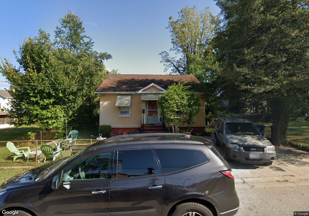
1005 Brashears St Annapolis, MD 21403
Eastport NeighborhoodEstimated Value: $368,897 - $523,000
Studio
1
Bath
936
Sq Ft
$493/Sq Ft
Est. Value
About This Home
This home is located at 1005 Brashears St, Annapolis, MD 21403 and is currently estimated at $461,474, approximately $493 per square foot. 1005 Brashears St is a home located in Anne Arundel County with nearby schools including Eastport Elementary School, Annapolis Middle School, and Annapolis High School.
Ownership History
Date
Name
Owned For
Owner Type
Purchase Details
Closed on
Jul 18, 1983
Bought by
Alexander Howard D and Alexander Gladys L
Current Estimated Value
Home Financials for this Owner
Home Financials are based on the most recent Mortgage that was taken out on this home.
Original Mortgage
$56,900
Interest Rate
13.5%
Create a Home Valuation Report for This Property
The Home Valuation Report is an in-depth analysis detailing your home's value as well as a comparison with similar homes in the area
Home Values in the Area
Average Home Value in this Area
Purchase History
| Date | Buyer | Sale Price | Title Company |
|---|---|---|---|
| Alexander Howard D | $59,900 | -- |
Source: Public Records
Mortgage History
| Date | Status | Borrower | Loan Amount |
|---|---|---|---|
| Closed | Alexander Howard D | $56,900 |
Source: Public Records
Tax History
| Year | Tax Paid | Tax Assessment Tax Assessment Total Assessment is a certain percentage of the fair market value that is determined by local assessors to be the total taxable value of land and additions on the property. | Land | Improvement |
|---|---|---|---|---|
| 2025 | $3,596 | $348,500 | -- | -- |
| 2024 | $3,596 | $327,000 | $0 | $0 |
| 2023 | $3,395 | $305,500 | $233,300 | $72,200 |
| 2022 | $3,344 | $305,500 | $233,300 | $72,200 |
| 2021 | $3,317 | $305,500 | $233,300 | $72,200 |
| 2020 | $3,317 | $305,600 | $233,300 | $72,300 |
| 2019 | $3,304 | $305,600 | $233,300 | $72,300 |
| 2018 | $3,265 | $305,600 | $233,300 | $72,300 |
| 2017 | $2,998 | $307,400 | $0 | $0 |
| 2016 | -- | $289,800 | $0 | $0 |
| 2015 | -- | $272,200 | $0 | $0 |
| 2014 | -- | $254,600 | $0 | $0 |
Source: Public Records
Map
Nearby Homes
- 936 Bay Ridge Ave Unit 306
- 1106 Brashears St
- 148 Jefferson St
- 1014 Wells Ave
- 32 Boucher Place
- 1109 Boucher Ave
- 1223 Madison St
- 1011 Hanson St
- 1002 Tyler Ave
- 790 Fairview Ave Unit 790 C
- 769 Fairview Ave Unit 769B
- 105 Griscom Square Way
- 3 Elliott Rd
- 3 President Point Dr Unit B3
- 755 Fairview Ave Unit 755 D
- 15 Spa Creek Landing Unit B3
- 1113 Primrose Ct Unit 204
- 1014 Cedar Ridge Ct
- 108 Conley Dr
- 316 Burnside St Unit 203
- 921 Madison St
- 1013 Madison Ct
- 1011 Madison Ct
- 1015 Madison Ct
- 915 Madison St
- 1009 Madison Ct
- 1001 Madison St
- 916 Monroe St
- 912 Monroe St
- 1003 Madison St
- 918 Monroe St
- 1000 Monroe St
- 913 Madison St
- 930 Monroe St
- 1002 Monroe St
- 1017 Madison Ct
- 1004 Monroe St
- 910 Monroe St
- 911 Madison St
- 1019 Madison Ct
Your Personal Tour Guide
Ask me questions while you tour the home.