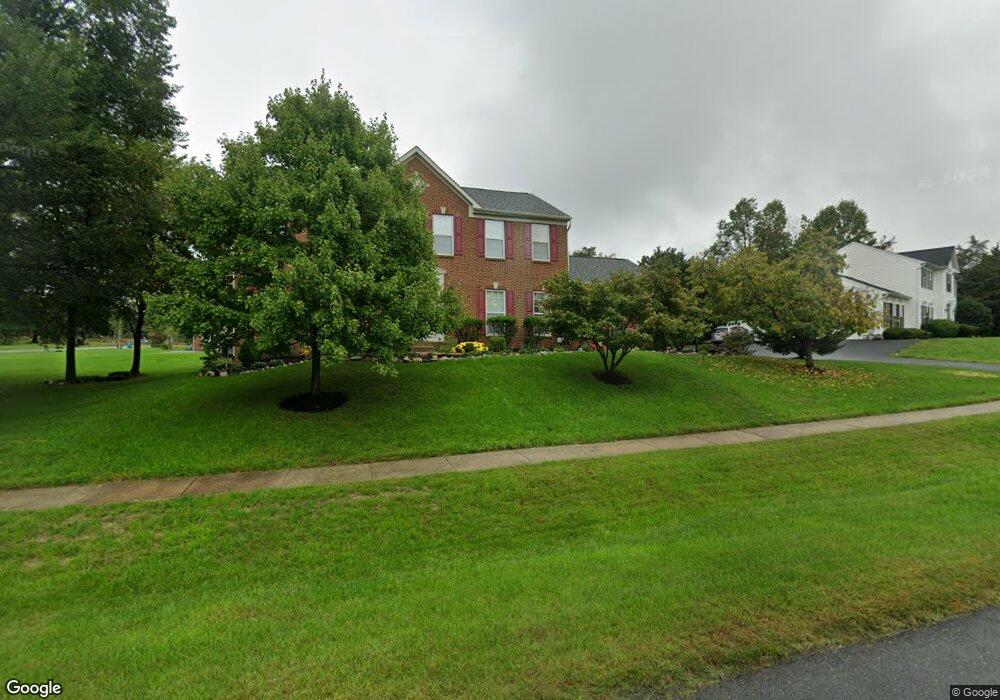
1005 Brookfield Dr Emmitsburg, MD 21727
Estimated Value: $485,000 - $533,000
4
Beds
3
Baths
3,456
Sq Ft
$150/Sq Ft
Est. Value
About This Home
This home is located at 1005 Brookfield Dr, Emmitsburg, MD 21727 and is currently estimated at $516,931, approximately $149 per square foot. 1005 Brookfield Dr is a home located in Frederick County with nearby schools including Emmitsburg Elementary School, Thurmont Middle School, and Catoctin High School.
Ownership History
Date
Name
Owned For
Owner Type
Purchase Details
Closed on
May 26, 2010
Sold by
Hsbc Bank Usa Na
Bought by
Mcdonald Michael W and Mcdonald Barbara A
Current Estimated Value
Purchase Details
Closed on
May 10, 2005
Sold by
Logue Walter D and Logue Marci D
Bought by
Quintanilla Rulfo and Miny Cresp
Home Financials for this Owner
Home Financials are based on the most recent Mortgage that was taken out on this home.
Original Mortgage
$399,000
Interest Rate
7.25%
Mortgage Type
Adjustable Rate Mortgage/ARM
Purchase Details
Closed on
Feb 10, 2004
Sold by
Nvr Inc
Bought by
Logue Walter D and Logue Marci D
Purchase Details
Closed on
Oct 14, 2003
Sold by
Pembroke Limited Part
Bought by
Nvr Inc
Create a Home Valuation Report for This Property
The Home Valuation Report is an in-depth analysis detailing your home's value as well as a comparison with similar homes in the area
Home Values in the Area
Average Home Value in this Area
Purchase History
| Date | Buyer | Sale Price | Title Company |
|---|---|---|---|
| Mcdonald Michael W | $260,000 | -- | |
| Hsbc Bank Usa Na | $252,000 | -- | |
| Quintanilla Rulfo | $420,000 | -- | |
| Logue Walter D | $323,958 | -- | |
| Nvr Inc | $49,250 | -- |
Source: Public Records
Mortgage History
| Date | Status | Borrower | Loan Amount |
|---|---|---|---|
| Previous Owner | Quintanilla Rulfo | $399,000 | |
| Closed | Mcdonald Michael W | -- |
Source: Public Records
Tax History Compared to Growth
Tax History
| Year | Tax Paid | Tax Assessment Tax Assessment Total Assessment is a certain percentage of the fair market value that is determined by local assessors to be the total taxable value of land and additions on the property. | Land | Improvement |
|---|---|---|---|---|
| 2025 | $6,150 | $438,467 | -- | -- |
| 2024 | $6,150 | $391,033 | $0 | $0 |
| 2023 | $5,245 | $343,600 | $70,600 | $273,000 |
| 2022 | $4,981 | $326,000 | $0 | $0 |
| 2021 | $4,491 | $308,400 | $0 | $0 |
| 2020 | $4,491 | $290,800 | $50,600 | $240,200 |
| 2019 | $4,388 | $283,967 | $0 | $0 |
| 2018 | $4,334 | $277,133 | $0 | $0 |
| 2017 | $4,181 | $270,300 | $0 | $0 |
| 2016 | $4,194 | $266,633 | $0 | $0 |
| 2015 | $4,194 | $262,967 | $0 | $0 |
| 2014 | $4,194 | $259,300 | $0 | $0 |
Source: Public Records
Map
Nearby Homes
- 816 W Main St
- 1417 Ramblewood Dr
- 1445 Ramblewood Dr
- 886 W Main St
- 884 W Main St
- 209 W Main St
- 34 Provincial Pkwy
- 201 W Main St
- 111 W Main St
- 102 Creekside Dr
- 325 Mountaineers Way (Lot 29)
- 323 Mountaineers Way
- 275 Depaul St
- 0 Creamery Way
- 179 Topper Rd
- 46 Mason Dixon Trail
- 31 Crossview Trail
- 32 Walnut Trail
- 580 Middle Creek Rd
- 0 Middle Creek Rd
- 17419 Tract Rd
- 1015 Brookfield Dr
- 1000 Brookfield Dr
- 17418 Tract Rd
- 3100 Stonehurst Ct
- 3110 Stonehurst Ct
- 2009 Pembrook Ct
- 2011 Pembrook Ct
- 17423 Tract Rd
- 3120 Stonehurst Ct
- 3105 Stonehurst Ct
- 17400 Tract Rd
- 17400 Tract Rd
- 9366 Waynesboro Pike
- 17431 Tract Rd
- 2005 Pembrook Ct
- 2015 Pembrook Ct
- 2025 Pembrook Ct
- 3000 Stonehurst Dr
- 3115 Stonehurst Ct