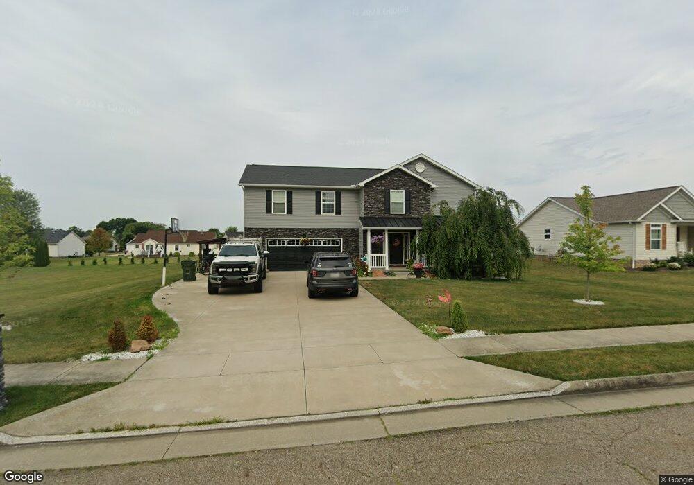
1005 Cypress Ave Louisville, OH 44641
Estimated Value: $291,501 - $326,000
4
Beds
3
Baths
1,524
Sq Ft
$202/Sq Ft
Est. Value
About This Home
This home is located at 1005 Cypress Ave, Louisville, OH 44641 and is currently estimated at $307,875, approximately $202 per square foot. 1005 Cypress Ave is a home located in Stark County with nearby schools including Louisville High School and St. Thomas Aquinas High School & Middle School.
Ownership History
Date
Name
Owned For
Owner Type
Purchase Details
Closed on
Aug 20, 2015
Sold by
Djs Family Properties Ltd
Bought by
Printz Andrew M and Printz Kristy A
Current Estimated Value
Home Financials for this Owner
Home Financials are based on the most recent Mortgage that was taken out on this home.
Original Mortgage
$177,541
Outstanding Balance
$137,423
Interest Rate
4.04%
Mortgage Type
FHA
Estimated Equity
$170,452
Purchase Details
Closed on
May 15, 2013
Sold by
Djs Family Properties Ltd
Bought by
Schalmo Janet T
Create a Home Valuation Report for This Property
The Home Valuation Report is an in-depth analysis detailing your home's value as well as a comparison with similar homes in the area
Home Values in the Area
Average Home Value in this Area
Purchase History
| Date | Buyer | Sale Price | Title Company |
|---|---|---|---|
| Printz Andrew M | $180,900 | Attorney | |
| Schalmo Janet T | $2,000 | None Available |
Source: Public Records
Mortgage History
| Date | Status | Borrower | Loan Amount |
|---|---|---|---|
| Open | Printz Andrew M | $177,541 |
Source: Public Records
Tax History Compared to Growth
Tax History
| Year | Tax Paid | Tax Assessment Tax Assessment Total Assessment is a certain percentage of the fair market value that is determined by local assessors to be the total taxable value of land and additions on the property. | Land | Improvement |
|---|---|---|---|---|
| 2025 | -- | $93,950 | $15,860 | $78,090 |
| 2024 | -- | $93,950 | $15,860 | $78,090 |
| 2023 | $3,632 | $82,540 | $14,950 | $67,590 |
| 2022 | $3,638 | $82,540 | $14,950 | $67,590 |
| 2021 | $3,649 | $82,540 | $14,950 | $67,590 |
| 2020 | $2,980 | $72,980 | $13,480 | $59,500 |
| 2019 | $3,001 | $73,120 | $13,620 | $59,500 |
| 2018 | $2,990 | $73,120 | $13,620 | $59,500 |
| 2017 | $2,707 | $63,880 | $11,970 | $51,910 |
| 2016 | $2,528 | $58,450 | $11,970 | $46,480 |
| 2015 | $389 | $9,000 | $9,000 | $0 |
| 2014 | $908 | $7,770 | $7,770 | $0 |
| 2013 | $181 | $7,770 | $7,770 | $0 |
Source: Public Records
Map
Nearby Homes
- 1715 High St
- 1812 E Broad St
- 2110 Edmar St
- 641 S Nickelplate St
- 308 Superior St
- 520 S Silver St
- 2015 E Main St
- 728 E Broad St
- 0 Michigan Blvd
- 908 Sand Lot Cir
- 3390 Meese Rd NE
- 510 S Bauman Ct
- 204 E Broad St
- 107 E Broad St
- 325 Lincoln Ave
- 1170 Winding Ridge Ave
- 1702 View Pointe Ave
- 910 Crosswyck Cir
- 8225 Georgetown St
- 1639 Horizon Dr
- 975 Cypress Ave
- 1788 Briarwood St
- 1055 Cypress Ave
- 3884 S/L Briarwood St
- 1040 S Marion Ave
- 1030 Cypress St
- 1050 Cypress St
- 1035 Cypress St
- 1000 Cypress Ave
- 935 Cypress Ave
- 970 Cypress Ave
- 970 Cypress Ave
- 1776 Briarwood St
- 1060 S Marion Ave
- 950 Cypress Ave
- 1756 Briarwood St
- 1085 Cypress Ave
- 1050 Cypress Ave
- 1080 Cypress Ave
- 33 Thewes Cir