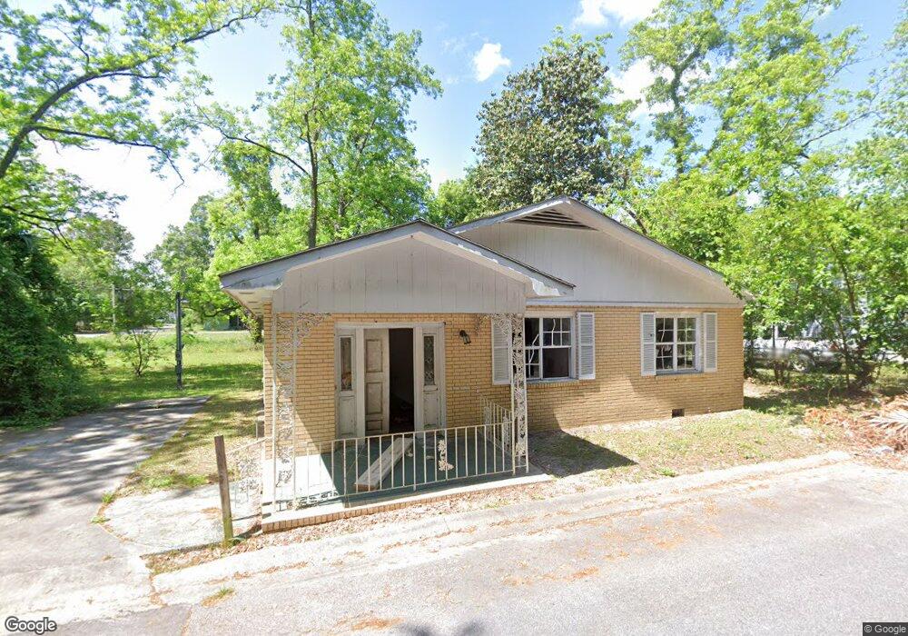
1005 Daniel St Waycross, GA 31501
Estimated Value: $68,000 - $129,000
2
Beds
1
Bath
1,296
Sq Ft
$75/Sq Ft
Est. Value
About This Home
This home is located at 1005 Daniel St, Waycross, GA 31501 and is currently estimated at $97,169, approximately $74 per square foot. 1005 Daniel St is a home located in Ware County with nearby schools including Wacona Elementary School, Ware County Middle School, and Ware County High School.
Ownership History
Date
Name
Owned For
Owner Type
Purchase Details
Closed on
Apr 1, 2005
Sold by
Reid Dwain C
Bought by
Roberts Isaac O and Roberts Lynette
Current Estimated Value
Purchase Details
Closed on
Feb 22, 2005
Sold by
Minchew J Verlon
Bought by
Bennett Chad Lonnie
Purchase Details
Closed on
Jun 27, 1995
Sold by
Reid Dwain
Bought by
Dwain Reid and Dwain Elencia
Purchase Details
Closed on
Jun 26, 1995
Sold by
Dwain Reid and Dwain Elencia
Bought by
Dwain Reid
Purchase Details
Closed on
Jan 23, 1995
Sold by
Carter Charlie
Bought by
Reid Dwain
Purchase Details
Closed on
Sep 7, 1993
Bought by
Carter Charlie
Create a Home Valuation Report for This Property
The Home Valuation Report is an in-depth analysis detailing your home's value as well as a comparison with similar homes in the area
Home Values in the Area
Average Home Value in this Area
Purchase History
| Date | Buyer | Sale Price | Title Company |
|---|---|---|---|
| Roberts Isaac O | $12,500 | -- | |
| Bennett Chad Lonnie | $213,178 | -- | |
| Dwain Reid | -- | -- | |
| Dwain Reid | $9,000 | -- | |
| Reid Dwain | $2,800 | -- | |
| Carter Charlie | $2,100 | -- |
Source: Public Records
Tax History Compared to Growth
Tax History
| Year | Tax Paid | Tax Assessment Tax Assessment Total Assessment is a certain percentage of the fair market value that is determined by local assessors to be the total taxable value of land and additions on the property. | Land | Improvement |
|---|---|---|---|---|
| 2024 | $606 | $17,184 | $1,080 | $16,104 |
| 2023 | $593 | $13,894 | $392 | $13,502 |
| 2022 | $554 | $13,894 | $392 | $13,502 |
| 2021 | $499 | $11,537 | $392 | $11,145 |
| 2020 | $493 | $11,320 | $392 | $10,928 |
| 2019 | $496 | $11,212 | $392 | $10,820 |
| 2018 | $476 | $10,671 | $392 | $10,279 |
| 2017 | $465 | $10,671 | $392 | $10,279 |
| 2016 | $465 | $10,671 | $392 | $10,279 |
| 2015 | $469 | $10,671 | $392 | $10,279 |
| 2014 | $466 | $10,631 | $392 | $10,239 |
| 2013 | -- | $10,630 | $392 | $10,238 |
Source: Public Records
Map
Nearby Homes
- 1106 Colley St
- 1104 Colley St
- 1102 Colley St
- 1112 Colley St
- 1012 Thomas St
- 1004 Thomas St
- 1101 Daniel St
- 1102 Daniel St
- 1015 Thomas St
- 1002 Thomas St
- 1103 Daniel St
- 1018 Colley St
- 1104 Daniel St
- 1007 Thomas St
- 1106 Thomas St
- 1023 Louise St
- 913 Daniel St
- 00 Martin Luther King Dr
- 0 Martin Luther King Dr
- 1108 Thomas St