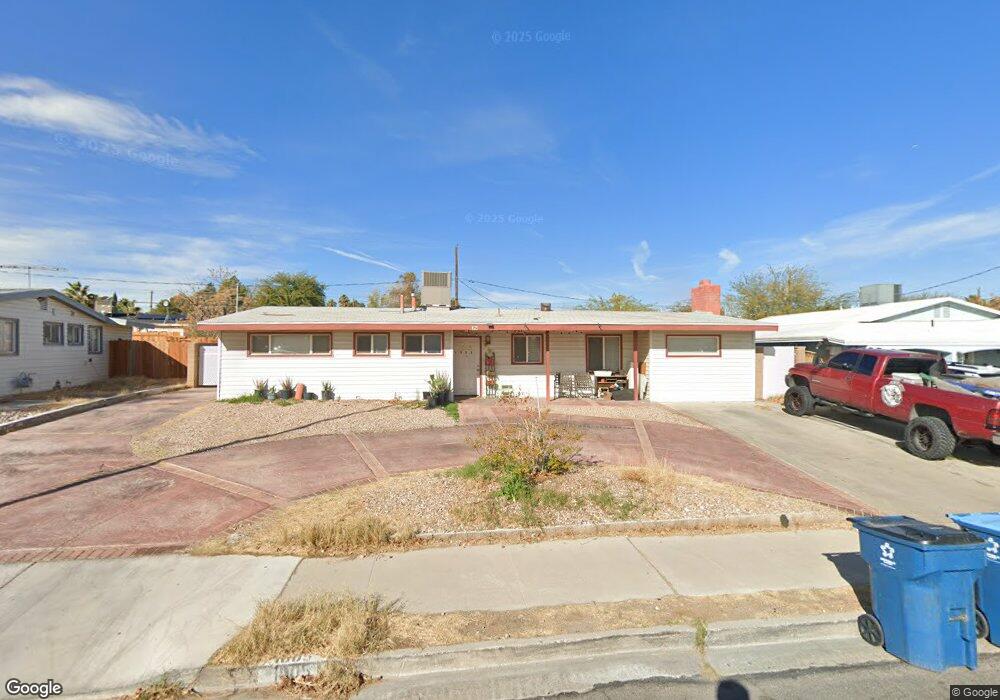
1005 Date St Las Vegas, NV 89108
Twin Lakes NeighborhoodEstimated Value: $313,000 - $373,000
3
Beds
2
Baths
1,372
Sq Ft
$241/Sq Ft
Est. Value
About This Home
This home is located at 1005 Date St, Las Vegas, NV 89108 and is currently estimated at $330,945, approximately $241 per square foot. 1005 Date St is a home located in Clark County with nearby schools including Twin Lakes Elementary School, Robert O Gibson Middle School, and Western High School.
Ownership History
Date
Name
Owned For
Owner Type
Purchase Details
Closed on
Aug 30, 2016
Sold by
Mwm Enterprises Llc
Bought by
Jones K L and The 1005 Date Trust
Current Estimated Value
Purchase Details
Closed on
Apr 12, 2016
Sold by
Baldwin Gail P and Baldwin Keith A
Bought by
Mwm Enterprises Llc
Purchase Details
Closed on
Jul 3, 2008
Sold by
Baldwin Gail Pamela
Bought by
Baldwin Gail P and Baldwin Keith A
Purchase Details
Closed on
Nov 29, 2000
Sold by
Neal June Parker
Bought by
Baldwin Gail Pamela
Create a Home Valuation Report for This Property
The Home Valuation Report is an in-depth analysis detailing your home's value as well as a comparison with similar homes in the area
Home Values in the Area
Average Home Value in this Area
Purchase History
| Date | Buyer | Sale Price | Title Company |
|---|---|---|---|
| Jones K L | -- | None Available | |
| Mwm Enterprises Llc | $70,000 | Fidelity National Title L | |
| Baldwin Gail P | -- | None Available | |
| Baldwin Gail Pamela | $126,500 | None Available |
Source: Public Records
Tax History Compared to Growth
Tax History
| Year | Tax Paid | Tax Assessment Tax Assessment Total Assessment is a certain percentage of the fair market value that is determined by local assessors to be the total taxable value of land and additions on the property. | Land | Improvement |
|---|---|---|---|---|
| 2025 | $773 | $49,854 | $30,800 | $19,054 |
| 2024 | $717 | $49,854 | $30,800 | $19,054 |
| 2023 | $717 | $49,556 | $32,340 | $17,216 |
| 2022 | $664 | $41,527 | $26,180 | $15,347 |
| 2021 | $615 | $37,381 | $23,100 | $14,281 |
| 2020 | $568 | $34,846 | $21,000 | $13,846 |
| 2019 | $542 | $29,855 | $16,450 | $13,405 |
| 2018 | $523 | $27,622 | $15,050 | $12,572 |
| 2017 | $844 | $25,757 | $13,300 | $12,457 |
| 2016 | $491 | $20,771 | $8,750 | $12,021 |
| 2015 | $489 | $17,615 | $5,950 | $11,665 |
| 2014 | $473 | $14,009 | $4,900 | $9,109 |
Source: Public Records
Map
Nearby Homes
- 1112 Hazard Ave
- 812 Pyramid Dr
- 1317 Pyramid Dr
- 1325 Pyramid Dr
- 1300 Oak Tree Ln
- 1101 Silver Lake Dr
- 3616 Roseglen Ct
- 1313 Purple Sage Ave
- 821 Mar Jay Ct
- 800 Langtry Dr
- 1225 Arrowhead Ave
- 1204 Arrowhead Ave
- 3871 Mountain Trail
- 1103 Arrowhead Ave
- 3541 Arcadian Sea St
- 3621 Arcadian Sea St
- 3541 Alpheus River Ave
- 3537 Alpheus River Ave
- 3534 Alpheus River Ave
- 1700 Ferrell St