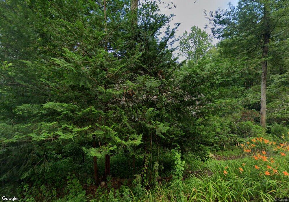
1005 Dunbar Hill Rd Hamden, CT 06514
Estimated Value: $490,049 - $533,000
3
Beds
3
Baths
2,374
Sq Ft
$214/Sq Ft
Est. Value
About This Home
This home is located at 1005 Dunbar Hill Rd, Hamden, CT 06514 and is currently estimated at $507,262, approximately $213 per square foot. 1005 Dunbar Hill Rd is a home located in New Haven County with nearby schools including Hamden Middle School, Hamden High School, and Alphabet Academy - Hamden North Campus.
Ownership History
Date
Name
Owned For
Owner Type
Purchase Details
Closed on
Feb 2, 1995
Sold by
Dale Patrick L and Dale Patricia A
Bought by
Obrien Daniel W and Obrien Cynthia K
Current Estimated Value
Home Financials for this Owner
Home Financials are based on the most recent Mortgage that was taken out on this home.
Original Mortgage
$166,500
Interest Rate
9.13%
Mortgage Type
Unknown
Create a Home Valuation Report for This Property
The Home Valuation Report is an in-depth analysis detailing your home's value as well as a comparison with similar homes in the area
Home Values in the Area
Average Home Value in this Area
Purchase History
| Date | Buyer | Sale Price | Title Company |
|---|---|---|---|
| Obrien Daniel W | $185,000 | -- |
Source: Public Records
Mortgage History
| Date | Status | Borrower | Loan Amount |
|---|---|---|---|
| Closed | Obrien Daniel W | $185,000 | |
| Closed | Obrien Daniel W | $10,000 | |
| Closed | Obrien Daniel W | $166,500 | |
| Previous Owner | Obrien Daniel W | $138,000 |
Source: Public Records
Tax History Compared to Growth
Tax History
| Year | Tax Paid | Tax Assessment Tax Assessment Total Assessment is a certain percentage of the fair market value that is determined by local assessors to be the total taxable value of land and additions on the property. | Land | Improvement |
|---|---|---|---|---|
| 2025 | $15,816 | $304,850 | $74,620 | $230,230 |
| 2024 | $12,854 | $231,140 | $51,800 | $179,340 |
| 2023 | $13,032 | $231,140 | $51,800 | $179,340 |
| 2022 | $12,824 | $231,140 | $51,800 | $179,340 |
| 2021 | $12,121 | $231,140 | $51,800 | $179,340 |
| 2020 | $11,920 | $229,320 | $79,170 | $150,150 |
| 2019 | $11,205 | $229,320 | $79,170 | $150,150 |
| 2018 | $10,998 | $229,320 | $79,170 | $150,150 |
| 2017 | $10,379 | $229,320 | $79,170 | $150,150 |
| 2016 | $10,402 | $229,320 | $79,170 | $150,150 |
| 2015 | $9,781 | $239,330 | $76,020 | $163,310 |
| 2014 | $9,556 | $239,330 | $76,020 | $163,310 |
Source: Public Records
Map
Nearby Homes
- 170 Calamus Meadow Rd
- 225 Hill St
- 36 Norman Rd
- 1253 Dunbar Hill Rd
- 91 Goebel Rd
- 701 Main St
- 556 Dunbar Hill Rd
- 250 Hume Dr
- 204 Towne House Rd
- 122 Towne House Rd
- 950 Benham St
- 37 Towne House Rd
- 32 Towne House Rd Unit 32
- 70 Ingleside Dr
- 25 Stowe Ct
- 707 Mix Ave Unit 38
- 136 Shepard Ave Unit 136
- 175 Mill Pond Rd Unit 106
- 4 Raccio Park Rd
- 5 Roosevelt St
- 975 Dunbar Hill Rd
- 958 Dunbar Hill Rd
- 958 Dunbar Hill Rd Unit 1
- 925 Dunbar Hill Rd
- 966 Dunbar Hill Rd
- 946 Dunbar Hill Rd
- 78 Autumn Ridge
- 932 Dunbar Hill Rd
- 990 Dunbar Hill Rd
- 905 Dunbar Hill Rd
- 920 Dunbar Hill Rd
- 938 Dunbar Hill Rd
- 1034 Dunbar Hill Rd
- 910 Dunbar Hill Rd
- 1030 Dunbar Hill Rd
- 934 Dunbar Hill Rd
- 897 Dunbar Hill Rd
- 896 Dunbar Hill Rd
- 21 Partridge Crossing
- 7 Partridge Crossing
