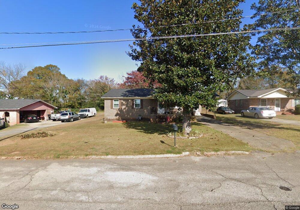
1005 E 12th St West Point, GA 31833
Estimated Value: $111,000 - $157,000
3
Beds
2
Baths
1,464
Sq Ft
$91/Sq Ft
Est. Value
About This Home
This home is located at 1005 E 12th St, West Point, GA 31833 and is currently estimated at $133,830, approximately $91 per square foot. 1005 E 12th St is a home located in Troup County with nearby schools including West Point Elementary School, Long Cane Elementary School, and Whitesville Road Elementary School.
Ownership History
Date
Name
Owned For
Owner Type
Purchase Details
Closed on
Aug 24, 2006
Sold by
Wright Mary Sue
Bought by
Bradshaw Darlene
Current Estimated Value
Home Financials for this Owner
Home Financials are based on the most recent Mortgage that was taken out on this home.
Original Mortgage
$52,000
Outstanding Balance
$31,067
Interest Rate
6.67%
Mortgage Type
New Conventional
Estimated Equity
$102,763
Purchase Details
Closed on
Apr 27, 1979
Bought by
Mary Sue Wright
Purchase Details
Closed on
Jan 1, 1973
Create a Home Valuation Report for This Property
The Home Valuation Report is an in-depth analysis detailing your home's value as well as a comparison with similar homes in the area
Home Values in the Area
Average Home Value in this Area
Purchase History
| Date | Buyer | Sale Price | Title Company |
|---|---|---|---|
| Bradshaw Darlene | $52,000 | -- | |
| Bradshaw Darlene | $52,000 | -- | |
| Mary Sue Wright | -- | -- | |
| -- | -- | -- |
Source: Public Records
Mortgage History
| Date | Status | Borrower | Loan Amount |
|---|---|---|---|
| Open | Bradshaw Darlene | $52,000 |
Source: Public Records
Tax History Compared to Growth
Tax History
| Year | Tax Paid | Tax Assessment Tax Assessment Total Assessment is a certain percentage of the fair market value that is determined by local assessors to be the total taxable value of land and additions on the property. | Land | Improvement |
|---|---|---|---|---|
| 2024 | $1,462 | $41,320 | $2,240 | $39,080 |
| 2023 | $1,429 | $40,120 | $2,240 | $37,880 |
| 2022 | $1,062 | $38,040 | $2,240 | $35,800 |
| 2021 | $770 | $25,520 | $1,120 | $24,400 |
| 2020 | $770 | $25,520 | $1,120 | $24,400 |
| 2019 | $729 | $24,160 | $1,120 | $23,040 |
| 2018 | $696 | $23,080 | $1,120 | $21,960 |
| 2017 | $696 | $23,080 | $1,120 | $21,960 |
| 2016 | $673 | $22,313 | $1,120 | $21,193 |
| 2015 | $665 | $22,004 | $1,132 | $20,872 |
| 2014 | $633 | $20,905 | $1,132 | $19,773 |
| 2013 | -- | $22,370 | $1,132 | $21,238 |
Source: Public Records
Map
Nearby Homes
- 1008 E 12th St
- 0 Arrowhead Dr Unit 10451860
- 713 Avenue H
- 1505 Wisteria Dr
- 0 Sunset Dr Unit 10451831
- 804 E 6th St
- 509 Cleveland St
- 311 E 4th St
- 508 Pine St
- 1903 Ridgewood Dr
- 1007 4th Ave
- 1410 Roper Ave
- 1314 4th Ave
- 712 4th Ave
- 112 Hillcrest Rd
- 0 Ga Highway 0116 Unit 10619139
- 1508 N 4th Ave
- 128 Highland Dr
- 4517 Georgia 18
- 4509 Georgia 18