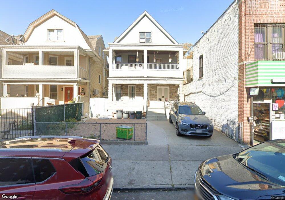
1005 Foster Ave Unit 1 Brooklyn, NY 11230
Kensington NeighborhoodEstimated Value: $1,703,000 - $1,953,000
2
Beds
1
Bath
2,960
Sq Ft
$604/Sq Ft
Est. Value
About This Home
This home is located at 1005 Foster Ave Unit 1, Brooklyn, NY 11230 and is currently estimated at $1,788,435, approximately $604 per square foot. 1005 Foster Ave Unit 1 is a home located in Kings County with nearby schools including Ps 217 Colonel David Marcus School, Ditmas Junior High school, and Brooklyn Dreams Charter School.
Ownership History
Date
Name
Owned For
Owner Type
Purchase Details
Closed on
Jan 21, 2021
Sold by
Anagnostakos Helen Christine
Bought by
Kader Monjur
Current Estimated Value
Home Financials for this Owner
Home Financials are based on the most recent Mortgage that was taken out on this home.
Original Mortgage
$949,800
Outstanding Balance
$846,803
Interest Rate
2.65%
Mortgage Type
Purchase Money Mortgage
Estimated Equity
$941,632
Create a Home Valuation Report for This Property
The Home Valuation Report is an in-depth analysis detailing your home's value as well as a comparison with similar homes in the area
Home Values in the Area
Average Home Value in this Area
Purchase History
| Date | Buyer | Sale Price | Title Company |
|---|---|---|---|
| Kader Monjur | $1,410,000 | -- |
Source: Public Records
Mortgage History
| Date | Status | Borrower | Loan Amount |
|---|---|---|---|
| Open | Kader Monjur | $949,800 |
Source: Public Records
Tax History Compared to Growth
Tax History
| Year | Tax Paid | Tax Assessment Tax Assessment Total Assessment is a certain percentage of the fair market value that is determined by local assessors to be the total taxable value of land and additions on the property. | Land | Improvement |
|---|---|---|---|---|
| 2025 | $9,568 | $104,880 | $30,840 | $74,040 |
| 2024 | $9,568 | $97,320 | $30,840 | $66,480 |
| 2023 | $9,127 | $106,500 | $30,840 | $75,660 |
| 2022 | $8,464 | $90,480 | $30,840 | $59,640 |
| 2021 | $8,923 | $82,380 | $30,840 | $51,540 |
| 2020 | $1,872 | $89,280 | $30,840 | $58,440 |
| 2019 | $3,493 | $89,280 | $30,840 | $58,440 |
| 2018 | $3,158 | $37,450 | $16,149 | $21,301 |
| 2017 | $2,955 | $35,332 | $14,232 | $21,100 |
| 2016 | $2,911 | $35,332 | $16,800 | $18,532 |
| 2015 | $1,571 | $35,065 | $23,418 | $11,647 |
| 2014 | $1,571 | $33,081 | $22,649 | $10,432 |
Source: Public Records
Map
Nearby Homes
- 309 Parkville Ave
- 728 Westminster Rd
- 682 Argyle Rd
- 759 E 10th St Unit 7H
- 345 Webster Ave Unit 3N
- 345 Webster Ave Unit 1G
- 345 Webster Ave Unit 1F
- 681 Argyle Rd
- 1302 Foster Ave Unit 1304
- 570 Westminster Rd Unit F16
- 570 Westminster Rd Unit D20
- 570 Westminster Rd Unit C17
- 570 Westminster Rd Unit A-23
- 1311 Glenwood Rd
- 761 E 9th St
- 785 E 8th St
- 249 Newkirk Ave
- 629 E 8th St
- 264 Webster Ave Unit 408
- 264 Webster Ave Unit 709
- 1005 Foster Ave
- 1009 Foster Ave
- 1001 Foster Ave
- 951 Foster Ave
- 1011 Foster Ave
- 931 Foster Ave
- 1032 Coney Island Ave
- 1034 Coney Island Ave
- 927 Foster Ave
- 1036 Coney Island Ave
- 1026 Coney Island Ave
- 1020 Coney Island Ave
- 1030 Coney Island Ave
- 1024 Coney Island Ave
- 1022 Coney Island Ave
- 923 Foster Ave
- 328 Parkville Ave
- 324 Parkville Ave
- 330 Parkville Ave
- 320 Parkville Ave