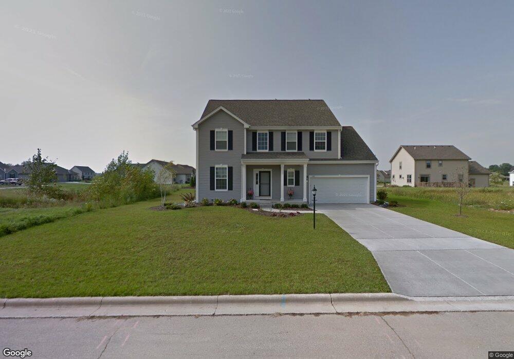
1005 Garnet Ln Port Washington, WI 53074
Estimated Value: $525,000 - $592,000
--
Bed
--
Bath
--
Sq Ft
9,191
Sq Ft Lot
About This Home
This home is located at 1005 Garnet Ln, Port Washington, WI 53074 and is currently estimated at $551,265. 1005 Garnet Ln is a home with nearby schools including Saukville Elementary School, Thomas Jefferson Middle School, and Port Washington High School.
Ownership History
Date
Name
Owned For
Owner Type
Purchase Details
Closed on
Dec 28, 2012
Sold by
Willaim Homes Wisconin Inc
Bought by
Bennett Eural and Bennett Rachael
Current Estimated Value
Home Financials for this Owner
Home Financials are based on the most recent Mortgage that was taken out on this home.
Original Mortgage
$247,001
Outstanding Balance
$171,016
Interest Rate
3.28%
Mortgage Type
VA
Estimated Equity
$380,249
Purchase Details
Closed on
Sep 21, 2012
Sold by
B And N Development Llc
Bought by
William Ryan Homes Wisconsin Inc
Create a Home Valuation Report for This Property
The Home Valuation Report is an in-depth analysis detailing your home's value as well as a comparison with similar homes in the area
Home Values in the Area
Average Home Value in this Area
Purchase History
| Date | Buyer | Sale Price | Title Company |
|---|---|---|---|
| Bennett Eural | $239,200 | None Available | |
| William Ryan Homes Wisconsin Inc | $56,000 | None Available |
Source: Public Records
Mortgage History
| Date | Status | Borrower | Loan Amount |
|---|---|---|---|
| Open | Bennett Eural | $247,001 |
Source: Public Records
Tax History Compared to Growth
Tax History
| Year | Tax Paid | Tax Assessment Tax Assessment Total Assessment is a certain percentage of the fair market value that is determined by local assessors to be the total taxable value of land and additions on the property. | Land | Improvement |
|---|---|---|---|---|
| 2024 | $6,330 | $395,400 | $70,700 | $324,700 |
| 2023 | $5,672 | $395,400 | $70,700 | $324,700 |
| 2022 | $5,742 | $395,400 | $70,700 | $324,700 |
| 2021 | $5,646 | $395,400 | $70,700 | $324,700 |
| 2020 | $4,922 | $266,900 | $62,500 | $204,400 |
| 2019 | $5,031 | $266,900 | $62,500 | $204,400 |
| 2018 | $4,518 | $247,800 | $62,500 | $185,300 |
| 2017 | $4,210 | $236,800 | $62,500 | $174,300 |
| 2016 | $4,226 | $236,800 | $62,500 | $174,300 |
| 2015 | $4,158 | $236,800 | $62,500 | $174,300 |
| 2014 | $3,909 | $236,800 | $62,500 | $174,300 |
| 2013 | $4,162 | $236,800 | $62,500 | $174,300 |
Source: Public Records
Map
Nearby Homes
- 675 Amber Ln
- 1000 S Spring St
- Lt2 Woodridge Ln
- 715 Maritime Dr
- 716 Maritime Dr
- 717 Maritime Dr
- 732 Maritime Dr
- 730 Maritime Dr
- 125 S Summit Dr
- 733 Maritime Dr
- The Wingra Plan at Highland Pointe
- The Siena Plan at Highland Pointe
- The Windsor Plan at Highland Pointe
- The Harrington Plan at Highland Pointe
- The McKinley Plan at Highland Pointe
- The Saybrook Plan at Highland Pointe
- The Sheridan Plan at Highland Pointe
- The Hudson Plan at Highland Pointe
- The Drake Plan at Highland Pointe
- The Dover Plan at Highland Pointe