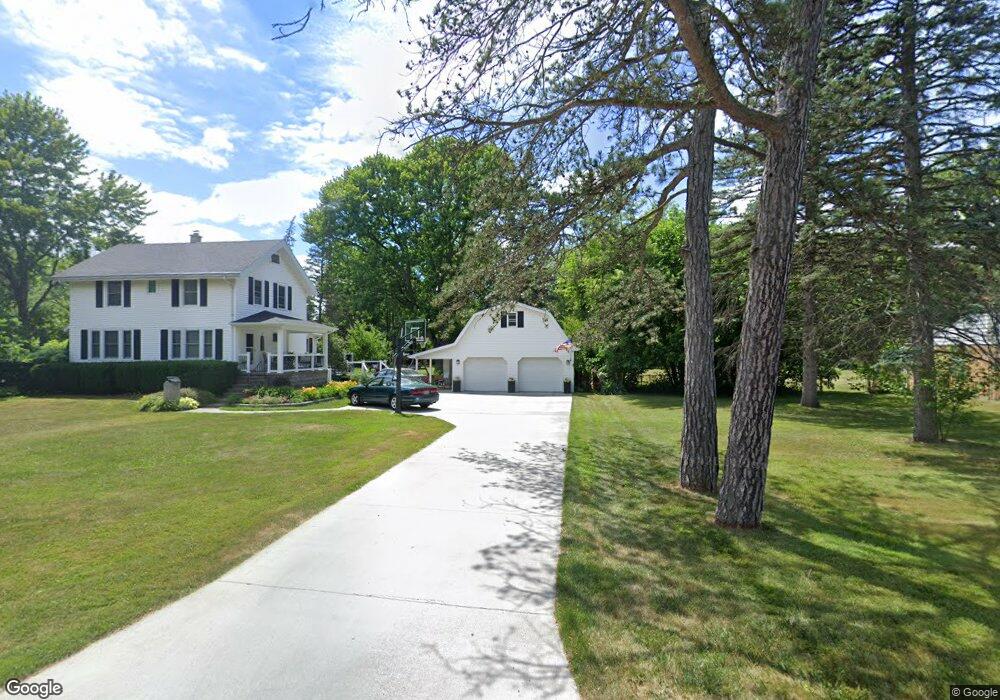
1005 Harrow Rd Toledo, OH 43615
Reynolds Corners NeighborhoodEstimated Value: $171,000 - $201,000
3
Beds
1
Bath
1,550
Sq Ft
$118/Sq Ft
Est. Value
About This Home
This home is located at 1005 Harrow Rd, Toledo, OH 43615 and is currently estimated at $182,260, approximately $117 per square foot. 1005 Harrow Rd is a home located in Lucas County with nearby schools including McTigue Elementary School, Rogers High School, and Horizon Science Academy-Springfield.
Ownership History
Date
Name
Owned For
Owner Type
Purchase Details
Closed on
Mar 8, 1999
Sold by
Rathge Brian D and Rathge Stacie M
Bought by
Rathge Brian D and Rathge Stacie M
Current Estimated Value
Home Financials for this Owner
Home Financials are based on the most recent Mortgage that was taken out on this home.
Original Mortgage
$84,569
Outstanding Balance
$18,292
Interest Rate
6.76%
Mortgage Type
FHA
Estimated Equity
$163,968
Purchase Details
Closed on
Jan 15, 1999
Sold by
Bohland Ronald
Bought by
Rathge Brian D and Rathge Stacie M
Home Financials for this Owner
Home Financials are based on the most recent Mortgage that was taken out on this home.
Original Mortgage
$84,569
Outstanding Balance
$18,292
Interest Rate
6.76%
Mortgage Type
FHA
Estimated Equity
$163,968
Purchase Details
Closed on
Apr 20, 1990
Sold by
Bohland T E and I E
Create a Home Valuation Report for This Property
The Home Valuation Report is an in-depth analysis detailing your home's value as well as a comparison with similar homes in the area
Home Values in the Area
Average Home Value in this Area
Purchase History
| Date | Buyer | Sale Price | Title Company |
|---|---|---|---|
| Rathge Brian D | -- | -- | |
| Rathge Brian D | $84,700 | Northwest Title Agency Of Oh | |
| -- | -- | -- |
Source: Public Records
Mortgage History
| Date | Status | Borrower | Loan Amount |
|---|---|---|---|
| Open | Rathge Brian D | $84,569 |
Source: Public Records
Tax History
| Year | Tax Paid | Tax Assessment Tax Assessment Total Assessment is a certain percentage of the fair market value that is determined by local assessors to be the total taxable value of land and additions on the property. | Land | Improvement |
|---|---|---|---|---|
| 2025 | -- | $57,820 | $9,380 | $48,440 |
| 2024 | $2,032 | $57,820 | $9,380 | $48,440 |
| 2023 | $3,336 | $43,575 | $8,785 | $34,790 |
| 2022 | $3,276 | $43,575 | $8,785 | $34,790 |
| 2021 | $3,398 | $43,575 | $8,785 | $34,790 |
| 2020 | $3,503 | $38,535 | $13,650 | $24,885 |
| 2019 | $3,346 | $38,535 | $13,650 | $24,885 |
| 2018 | $3,360 | $38,535 | $13,650 | $24,885 |
| 2017 | $3,178 | $35,490 | $13,335 | $22,155 |
| 2016 | $3,259 | $101,400 | $38,100 | $63,300 |
| 2015 | $3,346 | $101,400 | $38,100 | $63,300 |
| 2014 | $2,234 | $35,500 | $13,340 | $22,160 |
| 2013 | $2,234 | $35,500 | $13,340 | $22,160 |
Source: Public Records
Map
Nearby Homes
- 914 Sawyer Rd
- 1207 Vanderbilt Rd
- 5809 Dorr St
- 5887 Globe Ave
- 715 N Holland Sylvania Rd Unit Lot 30
- 5665 Camberley Dr
- 1911 N Holland Sylvania Rd
- 1950 Devinci Dr Unit A203
- 1137 Bedford Woods Dr
- 419 N Holland Sylvania Rd
- 5925 Haefner Rd
- 5845 Cook Dr
- 5041 Ancil Rd
- 2004 Oakside Rd
- 2015 Oakside Rd
- 2010 Oakside Rd
- 5815 W Bancroft St
- 5730 Hill Ave
- 5001 Golden Rd
- 630 Saturn Dr
Your Personal Tour Guide
Ask me questions while you tour the home.