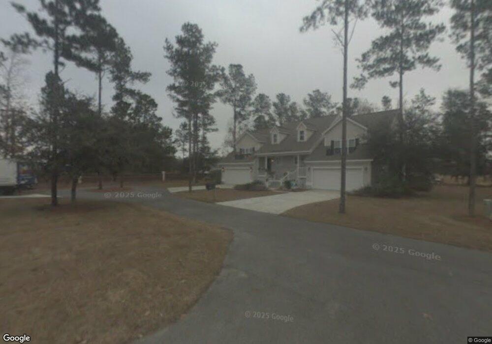
1005 Mayflower Rd NE Unit A Townsend, GA 31331
Estimated Value: $254,587 - $336,000
3
Beds
2
Baths
1,463
Sq Ft
$202/Sq Ft
Est. Value
About This Home
This home is located at 1005 Mayflower Rd NE Unit A, Townsend, GA 31331 and is currently estimated at $295,147, approximately $201 per square foot. 1005 Mayflower Rd NE Unit A is a home located in McIntosh County with nearby schools including Todd Grant Elementary School, McIntosh County Middle School, and McIntosh County Academy.
Ownership History
Date
Name
Owned For
Owner Type
Purchase Details
Closed on
May 9, 2011
Sold by
Deutsche Bank National Trust Company
Bought by
Hopkins Michael Donnie and Hopkins Rhonda
Current Estimated Value
Purchase Details
Closed on
Sep 7, 2010
Sold by
Marshall Paul D
Bought by
Deutsche Bank National Trust Company
Purchase Details
Closed on
Jan 10, 2006
Sold by
East Coast Developers Inc
Bought by
Marshall Paul D
Create a Home Valuation Report for This Property
The Home Valuation Report is an in-depth analysis detailing your home's value as well as a comparison with similar homes in the area
Home Values in the Area
Average Home Value in this Area
Purchase History
| Date | Buyer | Sale Price | Title Company |
|---|---|---|---|
| Hopkins Michael Donnie | $97,500 | -- | |
| Deutsche Bank National Trust Company | $190,000 | -- | |
| Marshall Paul D | $225,000 | -- |
Source: Public Records
Tax History Compared to Growth
Tax History
| Year | Tax Paid | Tax Assessment Tax Assessment Total Assessment is a certain percentage of the fair market value that is determined by local assessors to be the total taxable value of land and additions on the property. | Land | Improvement |
|---|---|---|---|---|
| 2024 | $2,909 | $99,360 | $7,400 | $91,960 |
| 2023 | $2,805 | $95,280 | $7,400 | $87,880 |
| 2022 | $2,348 | $78,880 | $6,000 | $72,880 |
| 2021 | $1,672 | $62,920 | $6,000 | $56,920 |
| 2020 | $2,026 | $66,520 | $6,000 | $60,520 |
| 2019 | $1,872 | $64,720 | $6,000 | $58,720 |
| 2018 | $1,720 | $64,720 | $6,000 | $58,720 |
| 2017 | $1,792 | $59,880 | $6,000 | $53,880 |
| 2016 | $1,654 | $56,520 | $6,000 | $50,520 |
| 2015 | $1,755 | $61,104 | $7,500 | $53,604 |
| 2014 | -- | $61,104 | $7,500 | $53,604 |
Source: Public Records
Map
Nearby Homes
- 1033 Mayflower Rd NE Unit A
- 1079 Mayflower Rd NE
- Lot 266 NE Coopers Point Dr NE
- 1186 Coopers Point Dr NE
- 1045 Par Dr NE
- 7272 Shellman Bluff Rd NE Unit 14
- 7272 Shellman Bluff Rd NE Unit 21
- 7272 Shellman Bluff Rd NE
- 642 NE Dune Meadow Dr
- Lot 111 Mulligan Dr NE
- xx Sapelo Park Dr NE
- 7389 Shellman Bluff Rd NE
- 1068 Picnic Ln NE
- Lot 617 Coopers Landing Dr NE
- LOT 239 Coopers Landing Dr NE
- Lot 210 Coopers Landing Dr NE
- Lot 618 Coopers Landing Dr NE
- LOT 230 Coopers Landing Dr NE
- 1017 NE Village Green Dr
- Lot 130 Sapelo Park Dr NE
- 1005 Mayflower Rd NE Unit 1A
- 1005 Mayflower Rd Unit 1 A
- 1005 Mayflower Rd
- 1013 Mayflower Rd NE Unit B
- 1013 Mayflower Rd NE
- 1013 Mayflower Rd NE Unit 1B
- 1041 Mayflower Rd NE Unit B
- 1041 Mayflower Rd NE Unit 2B
- 10 Birdie Unit 10A
- 10 Birdie Unit A
- 1033 Mayflower Rd NE
- 1033 Mayflower Rd NE
- 1033 Mayflower Rd NE Unit 2A
- 1033 Mayflower Rd NE Unit 2A
- 1033 Mayflower Rd NE Unit A
- 1012 Fountain St NE Unit A
- 1051 Mayflower Rd NE
- 1051 Mayflower Rd NE Unit A
- 1029 Fountain St NE
- 1021 Fountain St NE Unit 12A