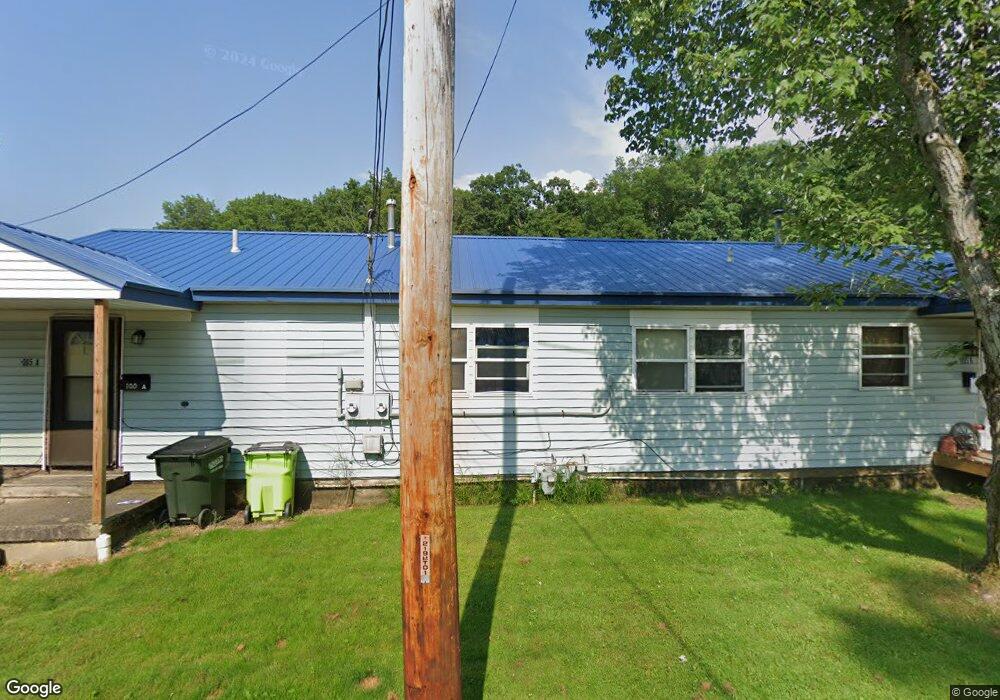
1005 Newton Dr Newton Falls, OH 44444
Estimated Value: $47,000 - $90,521
2
Beds
2
Baths
1,440
Sq Ft
$48/Sq Ft
Est. Value
About This Home
This home is located at 1005 Newton Dr, Newton Falls, OH 44444 and is currently estimated at $69,130, approximately $48 per square foot. 1005 Newton Dr is a home located in Trumbull County with nearby schools including Newton Falls Middle School, Newton Falls Junior High School, and Newton Falls High School.
Ownership History
Date
Name
Owned For
Owner Type
Purchase Details
Closed on
Oct 26, 2005
Sold by
Staunton Robert J and Staunton Jennifer E
Bought by
Montgomery Brian K and Montgomery Teri J
Current Estimated Value
Purchase Details
Closed on
Aug 26, 1996
Sold by
Babbey Steven
Bought by
Et Al Robert J Staunton
Home Financials for this Owner
Home Financials are based on the most recent Mortgage that was taken out on this home.
Original Mortgage
$56,726
Outstanding Balance
$4,988
Interest Rate
8.47%
Mortgage Type
New Conventional
Estimated Equity
$64,142
Purchase Details
Closed on
Jan 1, 1990
Bought by
A B Associates
Create a Home Valuation Report for This Property
The Home Valuation Report is an in-depth analysis detailing your home's value as well as a comparison with similar homes in the area
Home Values in the Area
Average Home Value in this Area
Purchase History
| Date | Buyer | Sale Price | Title Company |
|---|---|---|---|
| Montgomery Brian K | $35,000 | -- | |
| Et Al Robert J Staunton | $25,000 | -- | |
| A B Associates | -- | -- |
Source: Public Records
Mortgage History
| Date | Status | Borrower | Loan Amount |
|---|---|---|---|
| Open | Et Al Robert J Staunton | $56,726 |
Source: Public Records
Tax History Compared to Growth
Tax History
| Year | Tax Paid | Tax Assessment Tax Assessment Total Assessment is a certain percentage of the fair market value that is determined by local assessors to be the total taxable value of land and additions on the property. | Land | Improvement |
|---|---|---|---|---|
| 2024 | $878 | $19,750 | $1,300 | $18,450 |
| 2023 | $878 | $19,750 | $1,300 | $18,450 |
| 2022 | $548 | $10,680 | $1,090 | $9,590 |
| 2021 | $582 | $10,680 | $1,090 | $9,590 |
| 2020 | $541 | $10,680 | $1,090 | $9,590 |
| 2019 | $575 | $10,680 | $1,090 | $9,590 |
| 2018 | $558 | $10,680 | $1,090 | $9,590 |
| 2017 | $557 | $10,680 | $1,090 | $9,590 |
| 2016 | $526 | $10,090 | $1,090 | $9,000 |
| 2015 | $523 | $10,090 | $1,090 | $9,000 |
| 2014 | $457 | $10,090 | $1,090 | $9,000 |
| 2013 | $462 | $10,860 | $1,090 | $9,770 |
Source: Public Records
Map
Nearby Homes
- 83 Maple Dr
- 211 Mayhill Dr
- 722 Arlington Blvd
- 328 Oak Knoll Ave
- 348 Arlington Blvd
- 1026 Woodglen Ave
- 2721 E River Rd
- 61 Bridge St
- 4908 Woodlawn Ave
- 4374 Richmond Ave
- 4442 La France St
- 32 Orchard St
- 431 S Canal St
- 0 2nd St
- 57 E Main St
- 1054 Water St
- 2567 S Canal St
- 0 Miller Graber Rd SW
- 38 W 8th St
- 1313 Shavers St SW