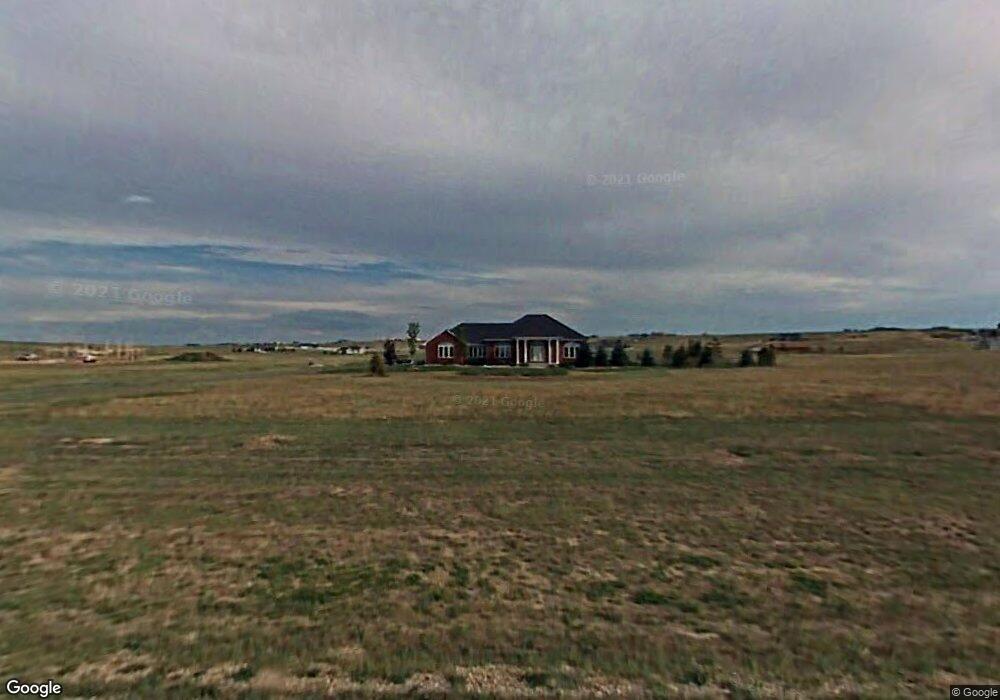
1005 Orion Dr Cheyenne, WY 82009
Ranchettes NeighborhoodEstimated Value: $572,000 - $876,000
--
Bed
--
Bath
2,106
Sq Ft
$353/Sq Ft
Est. Value
About This Home
This home is located at 1005 Orion Dr, Cheyenne, WY 82009 and is currently estimated at $743,461, approximately $353 per square foot. 1005 Orion Dr is a home located in Laramie County with nearby schools including Prairie Wind Elementary School, McCormick Junior High School, and Central High School.
Ownership History
Date
Name
Owned For
Owner Type
Purchase Details
Closed on
Mar 6, 2023
Sold by
Gorman Shannon and Gorman Roxanne
Bought by
S & R Gorman Revocable Trust
Current Estimated Value
Purchase Details
Closed on
Dec 5, 2001
Sold by
Hayes Construction Inc
Bought by
Gorman Shannon and Gorman Roxanne
Home Financials for this Owner
Home Financials are based on the most recent Mortgage that was taken out on this home.
Original Mortgage
$190,000
Interest Rate
6.59%
Create a Home Valuation Report for This Property
The Home Valuation Report is an in-depth analysis detailing your home's value as well as a comparison with similar homes in the area
Home Values in the Area
Average Home Value in this Area
Purchase History
| Date | Buyer | Sale Price | Title Company |
|---|---|---|---|
| S & R Gorman Revocable Trust | -- | -- | |
| Gorman Shannon | -- | -- |
Source: Public Records
Mortgage History
| Date | Status | Borrower | Loan Amount |
|---|---|---|---|
| Previous Owner | Gorman Shannon | $190,000 |
Source: Public Records
Tax History Compared to Growth
Tax History
| Year | Tax Paid | Tax Assessment Tax Assessment Total Assessment is a certain percentage of the fair market value that is determined by local assessors to be the total taxable value of land and additions on the property. | Land | Improvement |
|---|---|---|---|---|
| 2025 | $4,492 | $53,540 | $6,679 | $46,861 |
| 2024 | $4,492 | $66,836 | $8,906 | $57,930 |
| 2023 | $4,279 | $65,125 | $8,906 | $56,219 |
| 2022 | $3,778 | $56,236 | $8,610 | $47,626 |
| 2021 | $3,538 | $52,546 | $8,315 | $44,231 |
| 2020 | $3,484 | $51,885 | $8,315 | $43,570 |
| 2019 | $3,323 | $49,449 | $8,315 | $41,134 |
| 2018 | $3,172 | $47,682 | $8,315 | $39,367 |
| 2017 | $3,046 | $45,347 | $8,315 | $37,032 |
| 2016 | $3,173 | $47,212 | $8,756 | $38,456 |
| 2015 | $3,106 | $46,200 | $8,756 | $37,444 |
| 2014 | $3,054 | $45,123 | $8,419 | $36,704 |
Source: Public Records
Map
Nearby Homes
- 2500 Moonlight Ct
- 10611 Portugee Phillips Rd
- Tract 7 Haven Ct
- Tract 11 Haven Ct
- Tract 82 Jk Trail
- Lot 5 Mccrae Rd
- 9200 Wildflower Dr
- Tract 83 Jk Trail
- 9404 Wayne Rd
- TBD Road 227
- 4563 Willow Brook Ln
- Tract 4 Rainbow Ridge
- tbt Road 110a
- Tract 250 Bentley Rd
- Lot 5 Skyline Dr
- Lot 1, Block 1 Coyote Flats
- Tract 3 Road 217
- Tract 29 Wineglass Rd
- 1811 Wineglass Rd
- Tract 108 Black Jack Blvd
- 909 Orion Dr
- 1107 Orion Dr
- 1106 Orion Dr
- 910 Orion Dr
- 1209 Orion Dr
- 1202 Orion Dr
- 1020 N Star Loop
- 801 Orion Dr
- 11055 Coonrod Rd
- 1010 N Star Loop
- 1311 Orion Dr
- 1310 Orion Dr
- 900 N Star Loop
- 11090 Coonrod Rd
- 1017 N Star Loop
- 11170 Coonrod Rd
- 11607 Polaris Point
- 11505 Polaris Point
- 11021 Coonrod Rd
- 1413 Orion Dr