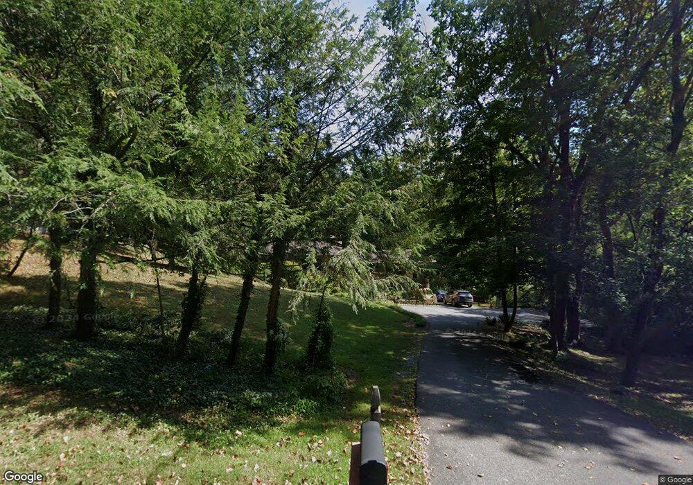
1005 Sherwood Forest Rd Annapolis, MD 21401
Estimated Value: $838,354 - $1,080,000
3
Beds
3
Baths
2,718
Sq Ft
$363/Sq Ft
Est. Value
About This Home
This home is located at 1005 Sherwood Forest Rd, Annapolis, MD 21401 and is currently estimated at $986,839, approximately $363 per square foot. 1005 Sherwood Forest Rd is a home located in Anne Arundel County with nearby schools including Rolling Knolls Elementary School, Wiley H. Bates Middle School, and Annapolis High School.
Ownership History
Date
Name
Owned For
Owner Type
Purchase Details
Closed on
May 27, 2009
Sold by
Didomenico Lisa
Bought by
Cole Pamela J
Current Estimated Value
Home Financials for this Owner
Home Financials are based on the most recent Mortgage that was taken out on this home.
Original Mortgage
$374,500
Interest Rate
4.83%
Mortgage Type
Purchase Money Mortgage
Purchase Details
Closed on
Jun 3, 2004
Sold by
Didomenico Lisa
Bought by
Didomenico Lisa and Stevens Curt E
Purchase Details
Closed on
Aug 20, 2002
Sold by
Lonigro Richard P
Bought by
Didomenico Lisa and Stevens Curt E
Purchase Details
Closed on
Nov 29, 1996
Sold by
Mann James C
Bought by
Lonigro Richard P and Lonigro Cynthia A
Create a Home Valuation Report for This Property
The Home Valuation Report is an in-depth analysis detailing your home's value as well as a comparison with similar homes in the area
Home Values in the Area
Average Home Value in this Area
Purchase History
| Date | Buyer | Sale Price | Title Company |
|---|---|---|---|
| Cole Pamela J | $535,000 | -- | |
| Didomenico Lisa | -- | -- | |
| Didomenico Lisa | $360,000 | -- | |
| Lonigro Richard P | $136,000 | -- |
Source: Public Records
Mortgage History
| Date | Status | Borrower | Loan Amount |
|---|---|---|---|
| Closed | Cole Pamela J | $374,500 | |
| Closed | Lonigro Richard P | -- |
Source: Public Records
Tax History Compared to Growth
Tax History
| Year | Tax Paid | Tax Assessment Tax Assessment Total Assessment is a certain percentage of the fair market value that is determined by local assessors to be the total taxable value of land and additions on the property. | Land | Improvement |
|---|---|---|---|---|
| 2025 | $7,810 | $721,100 | $432,100 | $289,000 |
| 2024 | $7,810 | $661,867 | $0 | $0 |
| 2023 | $7,114 | $602,633 | $0 | $0 |
| 2022 | $6,169 | $543,400 | $342,100 | $201,300 |
| 2021 | $12,233 | $538,400 | $0 | $0 |
| 2020 | $6,027 | $533,400 | $0 | $0 |
| 2019 | $5,980 | $528,400 | $269,100 | $259,300 |
| 2018 | $5,358 | $528,400 | $269,100 | $259,300 |
| 2017 | $5,827 | $528,400 | $0 | $0 |
| 2016 | -- | $541,600 | $0 | $0 |
| 2015 | -- | $522,400 | $0 | $0 |
| 2014 | -- | $503,200 | $0 | $0 |
Source: Public Records
Map
Nearby Homes
- 1002 Covington Way
- 1634 Old Generals Hwy
- 1496 River Rd
- 966 Coachway
- 1676 Saint Albans Square
- 1868 Lynnfield Dr
- 1961 Sigfrid Ct
- 1603 Upton Scott Way
- 602 Wayward Dr
- 522 Epping Forest Rd
- 553 Choptank Cove Ct
- 2175 Glencrest Cir
- 1580 Keswick Place
- 2175
- 2175 Glencrest Circle - Taft Model
- 1583 Keswick Place
- 201 Nottingham Hill
- 856 St Edmonds Place
- 0 Generals Hwy
- 1486 Downham Market
- 1003 Sherwood Forest Rd
- 1728 Old Generals Hwy
- 1736 Old Generals Hwy
- 1602 Locksley Dr
- 1600 Locksley Dr
- 1604 Locksley Dr
- 1740 Old Generals Hwy
- 1732 Old Generals Hwy
- 1024 Sherwood Forest Rd
- 1606 Locksley Dr
- 1601 Locksley Dr
- 1603 Locksley Dr
- 998 Sherwood Forest Rd
- 1742 Old Generals Hwy
- 1605 Locksley Dr
- 1719 Old Generals Hwy
- 1729 Old Generals Hwy
- 1718 Old Generals Hwy
- 1721 Old Generals Hwy
- 1746 Old Generals Hwy
