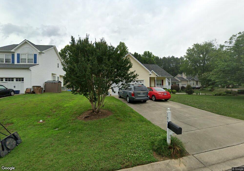
1005 Winter Bloom Ct Wake Forest, NC 27587
Estimated Value: $363,000 - $395,000
3
Beds
2
Baths
1,594
Sq Ft
$235/Sq Ft
Est. Value
About This Home
This home is located at 1005 Winter Bloom Ct, Wake Forest, NC 27587 and is currently estimated at $373,831, approximately $234 per square foot. 1005 Winter Bloom Ct is a home located in Wake County with nearby schools including Richland Creek Elementary School, Wake Forest-Rolesville Middle School, and Wake Forest High School.
Ownership History
Date
Name
Owned For
Owner Type
Purchase Details
Closed on
Dec 22, 2006
Sold by
Hurst Frank and Hurst Marci
Bought by
Farlow Steven and Farlow Bonnie
Current Estimated Value
Home Financials for this Owner
Home Financials are based on the most recent Mortgage that was taken out on this home.
Original Mortgage
$142,000
Outstanding Balance
$84,333
Interest Rate
6.19%
Mortgage Type
Purchase Money Mortgage
Estimated Equity
$289,498
Purchase Details
Closed on
Mar 22, 2004
Sold by
Drake Kathryn S
Bought by
Hurst Frank and Hurst Marci
Purchase Details
Closed on
Jul 3, 2001
Sold by
Affordable Homes Of Wake Forest Inc
Bought by
Smith Dale L
Create a Home Valuation Report for This Property
The Home Valuation Report is an in-depth analysis detailing your home's value as well as a comparison with similar homes in the area
Home Values in the Area
Average Home Value in this Area
Purchase History
| Date | Buyer | Sale Price | Title Company |
|---|---|---|---|
| Farlow Steven | $178,000 | None Available | |
| Hurst Frank | $155,500 | -- | |
| Smith Dale L | $150,000 | -- |
Source: Public Records
Mortgage History
| Date | Status | Borrower | Loan Amount |
|---|---|---|---|
| Open | Farlow Steven | $142,000 |
Source: Public Records
Tax History Compared to Growth
Tax History
| Year | Tax Paid | Tax Assessment Tax Assessment Total Assessment is a certain percentage of the fair market value that is determined by local assessors to be the total taxable value of land and additions on the property. | Land | Improvement |
|---|---|---|---|---|
| 2025 | $3,626 | $371,943 | $90,000 | $281,943 |
| 2024 | $3,613 | $371,943 | $90,000 | $281,943 |
| 2023 | $2,829 | $241,698 | $38,000 | $203,698 |
| 2022 | $2,714 | $241,698 | $38,000 | $203,698 |
| 2021 | $2,667 | $241,698 | $38,000 | $203,698 |
| 2020 | $2,667 | $241,698 | $38,000 | $203,698 |
| 2019 | $2,265 | $180,943 | $38,000 | $142,943 |
| 2018 | $2,145 | $180,943 | $38,000 | $142,943 |
| 2017 | $2,074 | $180,943 | $38,000 | $142,943 |
| 2016 | $2,047 | $180,943 | $38,000 | $142,943 |
| 2015 | $2,090 | $182,464 | $52,000 | $130,464 |
| 2014 | -- | $182,464 | $52,000 | $130,464 |
Source: Public Records
Map
Nearby Homes
- 201 Amaryllis Way
- Lot 44 Dragonfly Pond Way
- Lot 16 Dragonfly Pond Way
- Lot 12 Dragonfly Pond Way
- Lot 49 Dragonfly Pond Way
- 405 Foxbridge Ct
- 278 Hill St
- 321 Conrad Ln
- 955 Alma Railway Dr Unit 563
- 1201 Dagmar Ln
- 937 Alma Railway Dr Unit 555
- 230 Brick St
- 521 Groveton Trail
- 949 Alma Railway Dr
- 945 Alma Railway Dr Unit 559
- The Daphne C Plan at Sage on North Main
- Birch II C Plan at Sage on North Main
- The Hickory II C Plan at Sage on North Main
- The Aspen Plan at Sage on North Main
- The Beech Plan at Sage on North Main
- 1001 Winter Bloom Ct
- 1009 Winter Bloom Ct
- 325 Rose Petal Run
- 1013 Winter Bloom Ct
- 321 Rose Petal Run
- 1017 Winter Bloom Ct
- 1018 Winter Bloom Ct
- 401 Rose Petal Run
- 1012 Winter Bloom Ct
- 1008 Winter Bloom Ct
- 1016 Winter Bloom Ct
- 320 Rose Petal Run
- 1004 Winter Bloom Ct
- 400 Rose Petal Run
- 1024 Winter Bloom Ct
- 316 Rose Petal Run
- 1028 Winter Bloom Ct
- 317 Rose Petal Run
- 324 Amaryllis Way
- 1020 Winter Bloom Ct