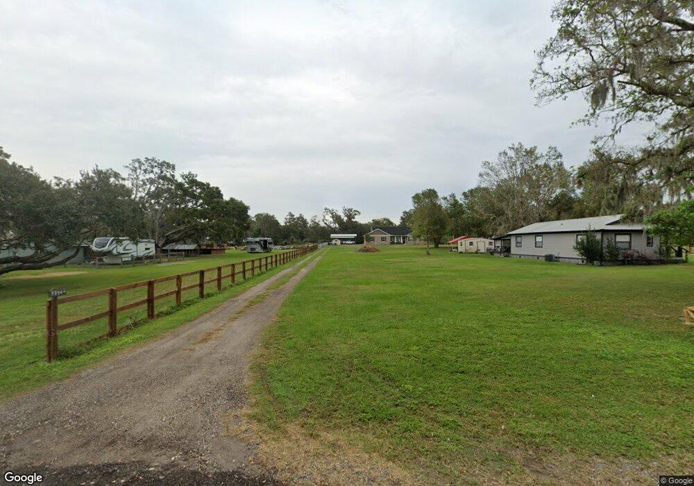
10050 Bryant Rd Lithia, FL 33547
Estimated Value: $205,000
3
Beds
1
Bath
1,172
Sq Ft
$175/Sq Ft
Est. Value
About This Home
This home is located at 10050 Bryant Rd, Lithia, FL 33547 and is currently priced at $205,000, approximately $174 per square foot. 10050 Bryant Rd is a home located in Hillsborough County with nearby schools including Pinecrest Elementary School, Randall Middle School, and Newsome High School.
Ownership History
Date
Name
Owned For
Owner Type
Purchase Details
Closed on
Apr 21, 2022
Sold by
Freedom Elite Services Llc
Bought by
Meyer Susan and Meyer Kenneth
Current Estimated Value
Home Financials for this Owner
Home Financials are based on the most recent Mortgage that was taken out on this home.
Original Mortgage
$176,250
Outstanding Balance
$163,646
Interest Rate
3.85%
Mortgage Type
New Conventional
Purchase Details
Closed on
May 21, 2021
Sold by
Colley Hr George Young and Colley Joseph Gregory
Bought by
Freedom Elite Services Llc
Home Financials for this Owner
Home Financials are based on the most recent Mortgage that was taken out on this home.
Original Mortgage
$1,982,500
Interest Rate
2.9%
Mortgage Type
Construction
Purchase Details
Closed on
Oct 1, 2018
Sold by
Colley George Young
Bought by
Colley George Young and Colley William Clyde
Create a Home Valuation Report for This Property
The Home Valuation Report is an in-depth analysis detailing your home's value as well as a comparison with similar homes in the area
Home Values in the Area
Average Home Value in this Area
Purchase History
| Date | Buyer | Sale Price | Title Company |
|---|---|---|---|
| Meyer Susan | $235,000 | Integrity First Title | |
| Freedom Elite Services Llc | $235,000 | Priority Natl Ttl Svcs Inc | |
| Colley George Young | -- | None Available |
Source: Public Records
Mortgage History
| Date | Status | Borrower | Loan Amount |
|---|---|---|---|
| Open | Meyer Susan | $176,250 | |
| Previous Owner | Freedom Elite Services Llc | $1,982,500 |
Source: Public Records
Tax History
| Year | Tax Paid | Tax Assessment Tax Assessment Total Assessment is a certain percentage of the fair market value that is determined by local assessors to be the total taxable value of land and additions on the property. | Land | Improvement |
|---|---|---|---|---|
| 2024 | -- | -- | -- | -- |
| 2023 | $3,676 | $225,734 | $143,375 | $82,359 |
| 2022 | $4,156 | $214,710 | $124,875 | $89,835 |
| 2021 | $703 | $61,069 | $0 | $0 |
| 2020 | $609 | $60,226 | $0 | $0 |
| 2019 | $551 | $58,872 | $0 | $0 |
| 2018 | $549 | $57,774 | $0 | $0 |
| 2017 | $541 | $125,819 | $0 | $0 |
| 2016 | $531 | $55,422 | $0 | $0 |
Source: Public Records
Map
Nearby Homes
- 10101 Bryant Rd
- 1517 Uncle Buds Ln
- 10579 Meadowrun Dr
- 10073 Meadowrun Dr
- 10304 Meadowrun Dr
- 10023 Meadowrun Dr
- 1727 Alafia Trail Dr
- 17907 Burnt Oak Ln
- Key Largo Plan at Creek Ridge Preserve - Artisan Series
- Madeira III Plan at Creek Ridge Preserve - Artisan Series
- Key West I Plan at Creek Ridge Preserve - Artisan Series
- Key West II Plan at Creek Ridge Preserve - Artisan Series
- Cedar Key II Plan at Creek Ridge Preserve - Artisan Series
- Cedar Key I Plan at Creek Ridge Preserve - Artisan Series
- Key Largo II Plan at Creek Ridge Preserve - Artisan Series
- Granada II Plan at Creek Ridge Preserve - Artisan Series
- Granada I Plan at Creek Ridge Preserve - Artisan Series
- 1829 Streetman Dr
- 1825 Streetman Dr
- 6023 Hammock Hill Ave
- 9982 Bryant Rd
- 9996 Bryant Rd
- 10060 Bryant Rd
- 0 Bryant Rd Unit T2806667
- Bryant Rd
- Bryant Rd
- Bryant Rd
- Bryant Rd
- Bryant
- 1401 Castleberry Farms Ln
- 1409 Castleberry Farms Ln
- 9911 Bryant Rd
- 10074 Bryant Rd
- 9983 Bryant Rd
- 10025 Bryant Rd
- 10104 Bryant Rd
- 10005 Bryant Rd
- 10116 Bryant Rd
- 1220 Pelote Cemetery Rd