1006 192nd Ave New Richmond, WI 54017
Estimated Value: $382,788 - $425,000
3
Beds
2
Baths
--
Sq Ft
2.12
Acres
About This Home
This home is located at 1006 192nd Ave, New Richmond, WI 54017 and is currently estimated at $401,947. 1006 192nd Ave is a home located in St. Croix County with nearby schools including Somerset Elementary School, Somerset Middle School, and Somerset High School.
Ownership History
Date
Name
Owned For
Owner Type
Purchase Details
Closed on
Feb 10, 2021
Sold by
Kernen Linda L
Bought by
Kernen Susannah R C and Kernen Matthew C
Current Estimated Value
Home Financials for this Owner
Home Financials are based on the most recent Mortgage that was taken out on this home.
Original Mortgage
$240,000
Outstanding Balance
$214,468
Interest Rate
2.65%
Mortgage Type
New Conventional
Estimated Equity
$187,479
Purchase Details
Closed on
Sep 9, 2016
Sold by
Larock Dennis D and Larock Monika A
Bought by
Kernen Linda L
Purchase Details
Closed on
Nov 11, 2013
Sold by
Larock Dennis D
Bought by
Larock Dennis D
Purchase Details
Closed on
Jun 15, 2006
Sold by
Siljander Roger A
Bought by
Larock Dennis D
Home Financials for this Owner
Home Financials are based on the most recent Mortgage that was taken out on this home.
Original Mortgage
$158,000
Interest Rate
6.73%
Mortgage Type
New Conventional
Create a Home Valuation Report for This Property
The Home Valuation Report is an in-depth analysis detailing your home's value as well as a comparison with similar homes in the area
Home Values in the Area
Average Home Value in this Area
Purchase History
| Date | Buyer | Sale Price | Title Company |
|---|---|---|---|
| Kernen Susannah R C | $300,000 | St Croix County Abstract & T | |
| Kernen Linda L | $197,000 | St Croix County Abstract | |
| Larock Dennis D | $173,100 | -- | |
| Larock Dennis D | $197,500 | Title One Premier Group Inc |
Source: Public Records
Mortgage History
| Date | Status | Borrower | Loan Amount |
|---|---|---|---|
| Open | Kernen Susannah R C | $240,000 | |
| Previous Owner | Larock Dennis D | $158,000 |
Source: Public Records
Tax History Compared to Growth
Tax History
| Year | Tax Paid | Tax Assessment Tax Assessment Total Assessment is a certain percentage of the fair market value that is determined by local assessors to be the total taxable value of land and additions on the property. | Land | Improvement |
|---|---|---|---|---|
| 2024 | $36 | $266,900 | $27,700 | $239,200 |
| 2023 | $3,833 | $266,900 | $27,700 | $239,200 |
| 2022 | $3,342 | $266,900 | $27,700 | $239,200 |
| 2021 | $3,383 | $266,900 | $27,700 | $239,200 |
| 2020 | $3,292 | $266,900 | $27,700 | $239,200 |
| 2019 | $3,071 | $266,900 | $27,700 | $239,200 |
| 2018 | $2,767 | $185,800 | $25,400 | $160,400 |
| 2017 | $2,663 | $173,100 | $25,400 | $147,700 |
| 2016 | $2,663 | $173,100 | $25,400 | $147,700 |
| 2015 | $2,518 | $173,100 | $25,400 | $147,700 |
| 2014 | $2,489 | $173,100 | $25,400 | $147,700 |
| 2013 | -- | $173,100 | $25,400 | $147,700 |
Source: Public Records
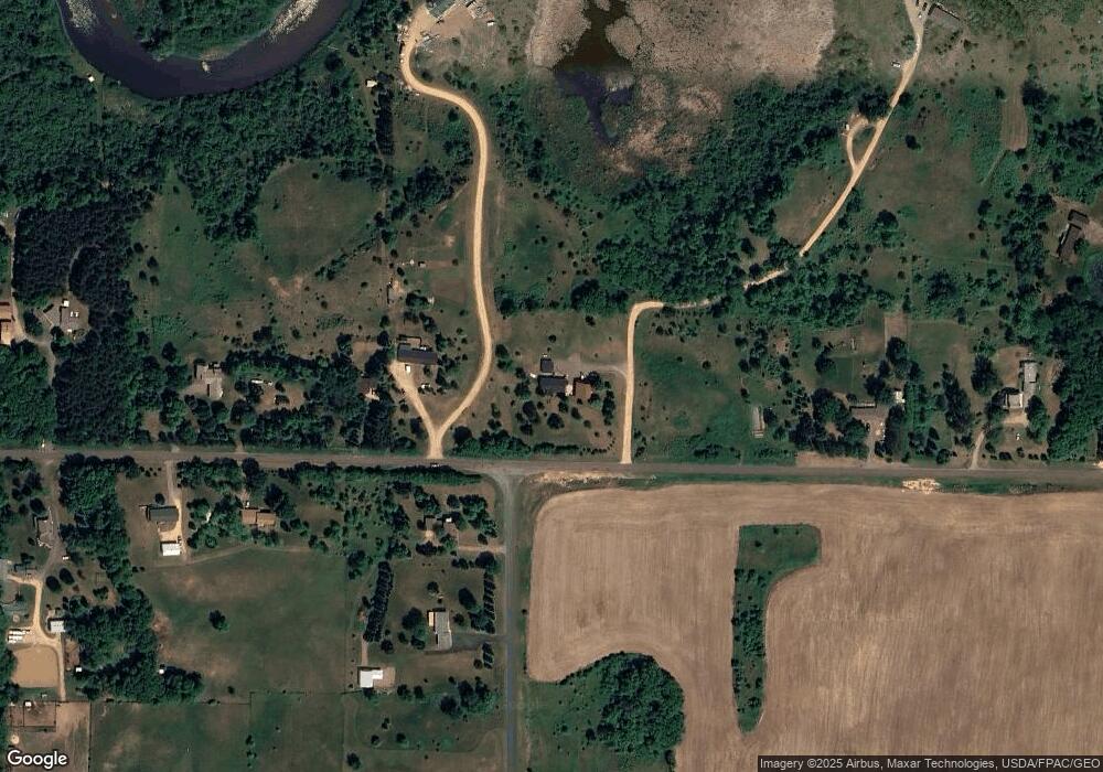
Map
Nearby Homes
- Lot 4 Nighthawk Dr
- Lot 5 Riverdale Ct
- TBD Nighthawk Dr ( Apple River Lot) Lot 9
- TBD Nighthawk Dr ( Apple River Lot) Lot 5
- TBD Nighthawk Dr ( Apple River Lot) Lot 6
- TBD Nighthawk Dr ( Apple River Lot) Lot 4
- TBD Nighthawk Dr ( Apple River Lot) Lot 10
- TBD Nighthawk Dr ( Apple River Lot) Lot 7
- 919 189th Ave
- TBD County Road C
- 893 183rd Ct
- 885 183rd Ct
- XXXX 110th St
- 872 183rd Ct
- 2118 100th St
- 1256 195th Ave
- 1888 80th St
- 1992 80th St
- 883 174th Ave
- 861 Sutherland St