1006 Burger Dr Berthoud, CO 80513
Estimated Value: $843,617 - $978,000
4
Beds
3
Baths
2,700
Sq Ft
$335/Sq Ft
Est. Value
About This Home
This home is located at 1006 Burger Dr, Berthoud, CO 80513 and is currently estimated at $905,154, approximately $335 per square foot. 1006 Burger Dr is a home located in Larimer County with nearby schools including Berthoud Elementary School, Turner Middle School, and Berthoud High School.
Ownership History
Date
Name
Owned For
Owner Type
Purchase Details
Closed on
Jun 21, 2016
Sold by
Weber William R
Bought by
Weber Debra L
Current Estimated Value
Home Financials for this Owner
Home Financials are based on the most recent Mortgage that was taken out on this home.
Original Mortgage
$262,000
Outstanding Balance
$208,591
Interest Rate
3.58%
Mortgage Type
New Conventional
Estimated Equity
$696,563
Purchase Details
Closed on
Jan 16, 2004
Sold by
Szallar Arthur L and Szallar Julie Ann
Bought by
Weber William R and Weber Debra L
Home Financials for this Owner
Home Financials are based on the most recent Mortgage that was taken out on this home.
Original Mortgage
$356,250
Interest Rate
5.5%
Mortgage Type
Purchase Money Mortgage
Purchase Details
Closed on
Jan 1, 1985
Bought by
Szallar Arthur Lang
Create a Home Valuation Report for This Property
The Home Valuation Report is an in-depth analysis detailing your home's value as well as a comparison with similar homes in the area
Home Values in the Area
Average Home Value in this Area
Purchase History
| Date | Buyer | Sale Price | Title Company |
|---|---|---|---|
| Weber Debra L | -- | Fidelity National Title Ins | |
| Weber William R | $375,000 | -- | |
| Szallar Arthur Lang | $130,000 | -- |
Source: Public Records
Mortgage History
| Date | Status | Borrower | Loan Amount |
|---|---|---|---|
| Open | Weber Debra L | $262,000 | |
| Previous Owner | Weber William R | $356,250 |
Source: Public Records
Tax History
| Year | Tax Paid | Tax Assessment Tax Assessment Total Assessment is a certain percentage of the fair market value that is determined by local assessors to be the total taxable value of land and additions on the property. | Land | Improvement |
|---|---|---|---|---|
| 2025 | $3,985 | $54,006 | $24,250 | $29,756 |
| 2024 | $3,854 | $56,441 | $25,996 | $30,445 |
| 2022 | $3,199 | $44,042 | $9,139 | $34,903 |
| 2021 | $3,289 | $45,309 | $9,402 | $35,907 |
| 2020 | $2,769 | $39,275 | $15,301 | $23,974 |
| 2019 | $2,729 | $39,275 | $15,301 | $23,974 |
| 2018 | $2,914 | $32,760 | $11,520 | $21,240 |
| 2017 | $2,540 | $32,760 | $11,520 | $21,240 |
| 2016 | $2,482 | $31,044 | $12,736 | $18,308 |
| 2015 | $2,466 | $34,670 | $12,740 | $21,930 |
| 2014 | $2,055 | $24,670 | $12,740 | $11,930 |
Source: Public Records
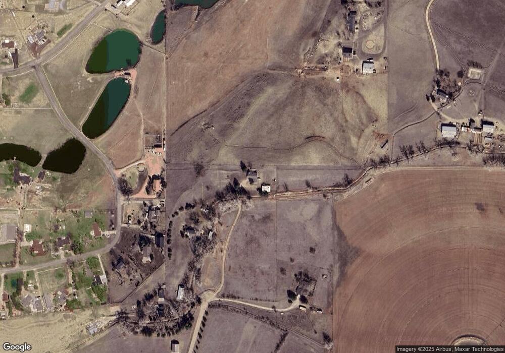
Map
Nearby Homes
- 3000 Sundown Dr
- 1796 Serene Place
- 1785 Serene Place
- 1720 Chaparro Cir
- 953 William Way
- 927 William Way
- 1901 Callado Ct
- 1427 Swan Peter Dr
- 1424 Burt Ave
- 1332 Sweetwater Ln
- 1405 Swan Peter Dr
- 1402 Burt Ave
- 1477 Art Dr
- 1388 Eliza Ave
- 1369 Burt Ave
- 1366 Eliza Ave
- 1346 Burt Ave
- 1345 Eliza Ave
- 1244 Eliza Ave
- 1805 W County Road 8
- 1006 Burger Dr
- 1007 Burger Dr
- 1010 Burger Dr
- 2501 Martingale Dr
- 0 Cottonwood Ln
- 2513 Martingale Dr
- 2601 Martingale Dr
- 1105 Burger Dr
- 2609 Martingale Dr
- 2604 Martingale Dr
- 2415 W County Road 6
- 2617 Martingale Dr
- 2612 Martingale Dr
- 2237 W County Road 6
- 2600 Pheasant Run
- 2609 Lake Hollow Rd
- 2701 Martingale Dr
- 2700 Martingale Dr
- 2512 Pheasant Run
- 2704 Martingale Dr
Your Personal Tour Guide
Ask me questions while you tour the home.