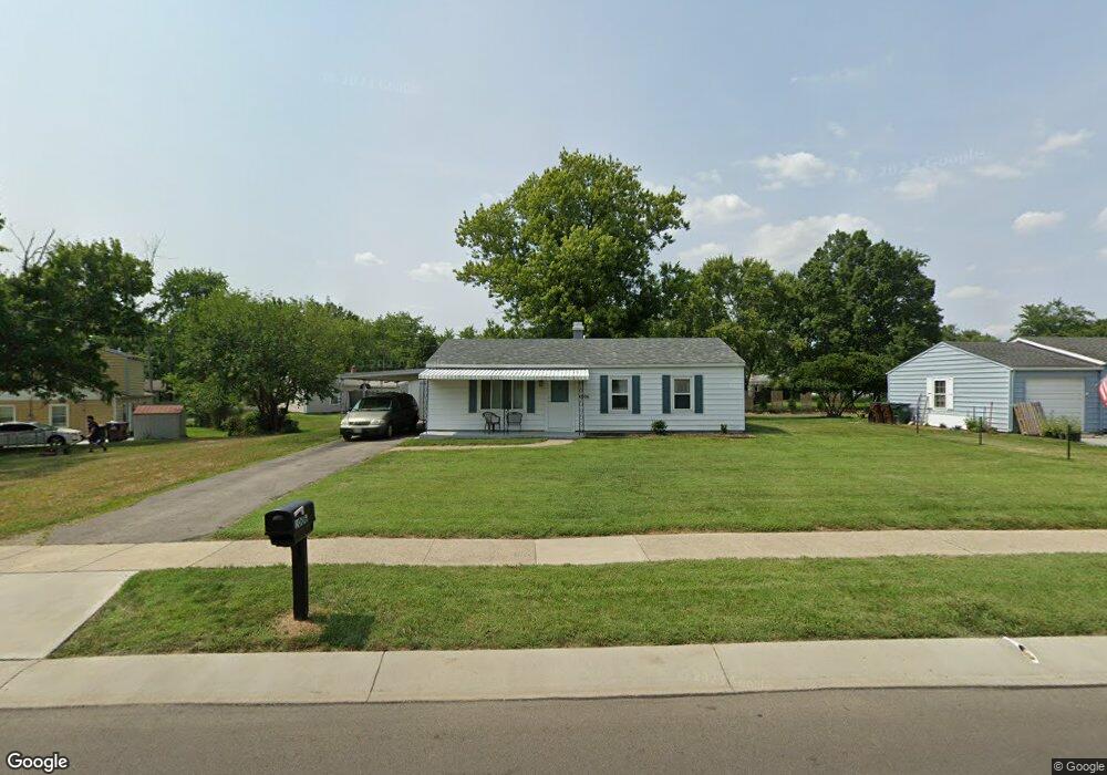
1006 Garnoa Dr Cincinnati, OH 45231
Winton Lake NeighborhoodEstimated Value: $160,000 - $229,000
3
Beds
1
Bath
1,025
Sq Ft
$183/Sq Ft
Est. Value
About This Home
This home is located at 1006 Garnoa Dr, Cincinnati, OH 45231 and is currently estimated at $187,712, approximately $183 per square foot. 1006 Garnoa Dr is a home located in Hamilton County with nearby schools including John Paul II Catholic School.
Ownership History
Date
Name
Owned For
Owner Type
Purchase Details
Closed on
Apr 10, 2023
Sold by
Green Danny Ray and Green Guynn
Bought by
Stanford William T
Current Estimated Value
Home Financials for this Owner
Home Financials are based on the most recent Mortgage that was taken out on this home.
Original Mortgage
$152,192
Outstanding Balance
$147,368
Interest Rate
6.65%
Mortgage Type
FHA
Estimated Equity
$40,344
Purchase Details
Closed on
Mar 18, 2002
Sold by
Groseclose Thomas E and Groseclose Charlotte K
Bought by
Green Danny Ray and Green Gwynn
Create a Home Valuation Report for This Property
The Home Valuation Report is an in-depth analysis detailing your home's value as well as a comparison with similar homes in the area
Home Values in the Area
Average Home Value in this Area
Purchase History
| Date | Buyer | Sale Price | Title Company |
|---|---|---|---|
| Stanford William T | $155,000 | None Listed On Document | |
| Green Danny Ray | -- | -- |
Source: Public Records
Mortgage History
| Date | Status | Borrower | Loan Amount |
|---|---|---|---|
| Open | Stanford William T | $152,192 |
Source: Public Records
Tax History
| Year | Tax Paid | Tax Assessment Tax Assessment Total Assessment is a certain percentage of the fair market value that is determined by local assessors to be the total taxable value of land and additions on the property. | Land | Improvement |
|---|---|---|---|---|
| 2025 | $2,770 | $40,125 | $9,734 | $30,391 |
| 2023 | $2,539 | $40,125 | $9,734 | $30,391 |
| 2022 | $2,290 | $27,108 | $7,735 | $19,373 |
| 2021 | $2,239 | $27,108 | $7,735 | $19,373 |
| 2020 | $2,268 | $27,108 | $7,735 | $19,373 |
| 2019 | $2,087 | $22,975 | $6,556 | $16,419 |
| 2018 | $2,092 | $22,975 | $6,556 | $16,419 |
| 2017 | $2,015 | $22,975 | $6,556 | $16,419 |
| 2016 | $1,921 | $21,452 | $6,475 | $14,977 |
| 2015 | $1,791 | $21,452 | $6,475 | $14,977 |
| 2014 | $1,784 | $21,452 | $6,475 | $14,977 |
| 2013 | $1,983 | $24,658 | $7,445 | $17,213 |
Source: Public Records
Map
Nearby Homes
- 906 Garnoa Dr
- 9305 Bridgecreek Dr Unit 14A
- 9367 Stoneybrooke Unit 10G
- 10022 Lakeside Dr
- 9315 Winton Rd
- 9319 Winton Rd
- 8491 Daly Rd
- 9606 Millbrook Dr
- 1283 Bellune Dr
- 1115 Compton Rd
- 9959 Mckelvey Rd
- 1123 Compton Rd
- 8990 Mockingbird Ln
- 1405 Meredith Dr
- 1101 Meadowind Ct
- 9811 Beau Ln
- 8829 Mockingbird Ln
- 9469 Beech Dr
- 1478 Bonneville Ln
- 7918 Southampton Ct
- 1000 Garnoa Dr
- 0 Garnoa Dr
- 9718 Crestbrook Dr
- 1026 Garnoa Dr
- 996 Garnoa Dr
- 9730 Crestbrook Dr
- 1001 Garnoa Dr
- 1007 Garnoa Dr
- 990 Garnoa Dr
- 1013 Garnoa Dr
- 1021 Garnoa Dr
- 1015 Sunwood Ct
- 993 Garnoa Dr
- 9696 Crestbrook Dr
- 9691 Kelso Ct
- 1011 Sunwood Ct
- 1019 Sunwood Ct
- 9748 Crestbrook Dr
- 9721 Crestbrook Dr
- 984 Garnoa Dr
Your Personal Tour Guide
Ask me questions while you tour the home.