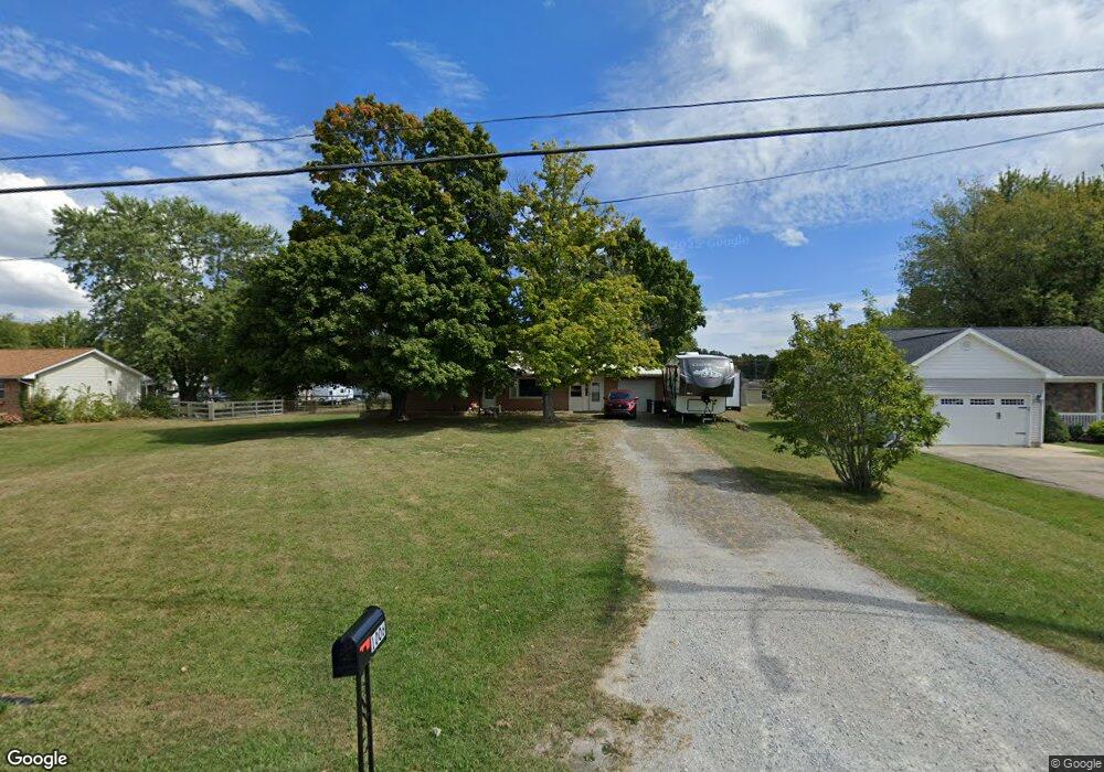
1006 Mount Orab Pike Georgetown, OH 45121
Estimated Value: $166,000 - $182,000
2
Beds
1
Bath
1,200
Sq Ft
$146/Sq Ft
Est. Value
About This Home
This home is located at 1006 Mount Orab Pike, Georgetown, OH 45121 and is currently estimated at $175,137, approximately $145 per square foot. 1006 Mount Orab Pike is a home located in Brown County with nearby schools including Georgetown Elementary School and Georgetown Jr/Sr High School.
Ownership History
Date
Name
Owned For
Owner Type
Purchase Details
Closed on
May 6, 2021
Sold by
Miller Inez Fae
Bought by
Hitt Wilma Fae
Current Estimated Value
Home Financials for this Owner
Home Financials are based on the most recent Mortgage that was taken out on this home.
Original Mortgage
$120,980
Outstanding Balance
$110,796
Interest Rate
3.1%
Mortgage Type
FHA
Estimated Equity
$59,422
Purchase Details
Closed on
Oct 27, 2000
Sold by
Applegate Tony
Bought by
Albert and Miller Inez F
Purchase Details
Closed on
Jun 12, 1999
Sold by
Applegate Tony
Bought by
Davis William and Davis Sharon L
Purchase Details
Closed on
Nov 30, 1998
Sold by
Est Lloyd E Wright
Bought by
Applegate Tony
Create a Home Valuation Report for This Property
The Home Valuation Report is an in-depth analysis detailing your home's value as well as a comparison with similar homes in the area
Home Values in the Area
Average Home Value in this Area
Purchase History
| Date | Buyer | Sale Price | Title Company |
|---|---|---|---|
| Hitt Wilma Fae | $123,500 | American Homeland Title Agcy | |
| Albert | $68,500 | -- | |
| Davis William | $68,500 | -- | |
| Applegate Tony | $50,000 | -- |
Source: Public Records
Mortgage History
| Date | Status | Borrower | Loan Amount |
|---|---|---|---|
| Open | Hitt Wilma Fae | $120,980 | |
| Closed | Davis William | $0 |
Source: Public Records
Tax History Compared to Growth
Tax History
| Year | Tax Paid | Tax Assessment Tax Assessment Total Assessment is a certain percentage of the fair market value that is determined by local assessors to be the total taxable value of land and additions on the property. | Land | Improvement |
|---|---|---|---|---|
| 2024 | $1,833 | $50,560 | $1,560 | $49,000 |
| 2023 | $1,833 | $35,080 | $1,340 | $33,740 |
| 2022 | $1,383 | $35,080 | $1,340 | $33,740 |
| 2021 | $1,006 | $35,080 | $1,340 | $33,740 |
| 2020 | $831 | $29,240 | $1,120 | $28,120 |
| 2019 | $825 | $29,240 | $1,120 | $28,120 |
| 2018 | $820 | $29,240 | $1,120 | $28,120 |
| 2017 | $543 | $24,850 | $1,230 | $23,620 |
| 2016 | $542 | $24,850 | $1,230 | $23,620 |
| 2015 | $569 | $24,850 | $1,230 | $23,620 |
| 2014 | $569 | $24,740 | $1,120 | $23,620 |
| 2013 | $567 | $24,740 | $1,120 | $23,620 |
Source: Public Records
Map
Nearby Homes
- 135 Roundhouse Cir
- 83 Hamer Rd
- 143 Hamer Rd
- 436 Kenwood Ave
- 403 Elmwood Ct
- 401 Elmwood Ct
- 409 N Main St
- 406 E North St
- 106 E Plum St
- 107 N Elm St
- 102 N Elm St
- 102 Bill Dee Dr
- 30 Straight Dr
- 306 W 2nd St
- 501 Alley St
- 708 E State St
- 25 Douglas Ln
- 0 St Rt 221 & Footbridge Unit 1826509
- 0 Douglas Ln Unit 1641744
- 205 Douglas Cir
- 1006 Mount Orab Pike
- 1006 Mount Orab Pike
- 1006 Mount Orab Pike
- 1024 Mount Orab Pike
- 1000 Mount Orab Pike
- 992 Mount Orab Pike
- 71 Wahl St
- 1030 Mount Orab Pike
- 1 Station Dr
- 63 Wahl St
- 988 Mount Orab Pike
- 69 Wahl St
- 982 Mount Orab Pike
- 0 Station Dr
- 0 Station Dr Unit 1318976
- 972 Mount Orab Pike
- 972 Mt Orab Pike
- 43 Wahl St
- 966 Mt Orab Pike
- 966 Mount Orab Pike