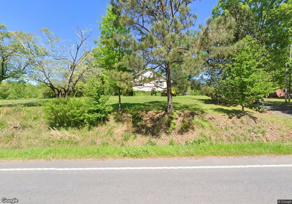
1006 N Highway 113 Carrollton, GA 30117
Abilene NeighborhoodEstimated Value: $310,000 - $537,000
3
Beds
3
Baths
2,821
Sq Ft
$148/Sq Ft
Est. Value
About This Home
This home is located at 1006 N Highway 113, Carrollton, GA 30117 and is currently estimated at $418,569, approximately $148 per square foot. 1006 N Highway 113 is a home located in Carroll County with nearby schools including Sharp Creek Elementary School, Central Middle School, and Central High School.
Ownership History
Date
Name
Owned For
Owner Type
Purchase Details
Closed on
Feb 25, 2009
Sold by
Belyeu Danny A
Bought by
Highway 113 Llc
Current Estimated Value
Purchase Details
Closed on
Jul 12, 1999
Sold by
Belyeu D A
Bought by
Belyeu D A
Purchase Details
Closed on
Sep 2, 1997
Sold by
Akin Betty
Bought by
Belyeu D A
Purchase Details
Closed on
Jan 10, 1994
Sold by
Allen
Bought by
Allen J H
Purchase Details
Closed on
Jan 1, 1989
Bought by
Allen
Create a Home Valuation Report for This Property
The Home Valuation Report is an in-depth analysis detailing your home's value as well as a comparison with similar homes in the area
Home Values in the Area
Average Home Value in this Area
Purchase History
| Date | Buyer | Sale Price | Title Company |
|---|---|---|---|
| Highway 113 Llc | -- | -- | |
| Belyeu D A | -- | -- | |
| Belyeu D A | $149,500 | -- | |
| Allen J H | -- | -- | |
| Allen | -- | -- |
Source: Public Records
Tax History Compared to Growth
Tax History
| Year | Tax Paid | Tax Assessment Tax Assessment Total Assessment is a certain percentage of the fair market value that is determined by local assessors to be the total taxable value of land and additions on the property. | Land | Improvement |
|---|---|---|---|---|
| 2024 | $4,008 | $177,156 | $78,956 | $98,200 |
| 2023 | $3,617 | $152,820 | $63,165 | $89,655 |
| 2022 | $2,869 | $114,374 | $42,110 | $72,264 |
| 2021 | $2,463 | $96,059 | $33,688 | $62,371 |
| 2020 | $2,220 | $86,492 | $30,625 | $55,867 |
| 2019 | $2,122 | $81,995 | $30,625 | $51,370 |
| 2018 | $1,941 | $73,917 | $28,621 | $45,296 |
| 2017 | $1,947 | $73,917 | $28,621 | $45,296 |
| 2016 | $1,948 | $73,917 | $28,621 | $45,296 |
| 2015 | $1,851 | $66,202 | $28,552 | $37,650 |
| 2014 | $1,859 | $66,203 | $28,552 | $37,650 |
Source: Public Records
Map
Nearby Homes
- 1196 N Highway 113
- 138 Zachary Dr
- 1015 Mote Rd
- 0 Center Point Rd Unit TR 3 10274074
- 0 Center Point Rd Unit 7361099
- 70 W Meadowcliff Cir
- 85 Mary Ln
- 70 Henson Cir
- 114 Kyle Way
- 25 Adalee Rd
- 0 Henson Cir Unit 10584639
- 0 Henson Cir Unit 7632920
- 1890 Shady Grove Rd
- 300 Georgia 113
- 0 Shady Grove Rd Unit 10601173
- 0 Shady Grove Rd Unit 10601172
- 219 Candlewood Dr
- 2580 Shady Grove Rd
- 2930 Hog Liver Rd
- 345 Henson Cir
- 1033 N Highway 113
- 999 Georgia 113
- 999 N Highway 113
- 1339 Mote Rd
- 1103 Georgia 113
- 963 N Highway 113
- 1103 N Highway 113
- 1026 N Highway 113
- 1215 Mote Rd
- 1286 Mote Rd
- 954 N 113 Hwy
- 954 N Highway 113
- 954 N Highway 113
- 341 Center Point Rd
- 1360 Mote Rd
- 1338 Mote Rd
- 1256 Mote Rd
- 142 Zachary Dr
- 45 McKenzie Bridge Rd
- 137 Zachary Dr