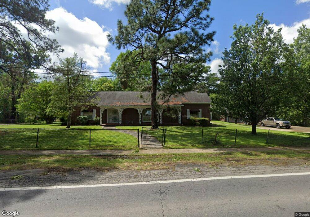
1006 Pershing Hwy SMacKover, AR 71762
Estimated Value: $274,000 - $417,000
Studio
3
Baths
3,923
Sq Ft
$83/Sq Ft
Est. Value
About This Home
This home is located at 1006 Pershing Hwy, SMacKover, AR 71762 and is currently estimated at $326,933, approximately $83 per square foot. 1006 Pershing Hwy is a home located in Union County with nearby schools including Smackover Elementary School, Norphlet Middle School, and Smackover High School.
Ownership History
Date
Name
Owned For
Owner Type
Purchase Details
Closed on
Sep 25, 2015
Sold by
Taylor Tad David
Bought by
Ross Dewey Jerod and Ross Tiffany C
Current Estimated Value
Home Financials for this Owner
Home Financials are based on the most recent Mortgage that was taken out on this home.
Original Mortgage
$161,519
Outstanding Balance
$127,976
Interest Rate
4.25%
Mortgage Type
FHA
Estimated Equity
$198,957
Purchase Details
Closed on
Apr 4, 1995
Bought by
Armstrong Armstrong W and Armstrong H
Create a Home Valuation Report for This Property
The Home Valuation Report is an in-depth analysis detailing your home's value as well as a comparison with similar homes in the area
Purchase History
| Date | Buyer | Sale Price | Title Company |
|---|---|---|---|
| Ross Dewey Jerod | $164,500 | -- | |
| Armstrong Armstrong W | $80,000 | -- |
Source: Public Records
Mortgage History
| Date | Status | Borrower | Loan Amount |
|---|---|---|---|
| Open | Ross Dewey Jerod | $161,519 |
Source: Public Records
Tax History
| Year | Tax Paid | Tax Assessment Tax Assessment Total Assessment is a certain percentage of the fair market value that is determined by local assessors to be the total taxable value of land and additions on the property. | Land | Improvement |
|---|---|---|---|---|
| 2025 | $2,158 | $59,710 | $4,750 | $54,960 |
| 2024 | $2,138 | $59,710 | $4,750 | $54,960 |
| 2023 | $2,093 | $59,710 | $4,750 | $54,960 |
| 2022 | $2,024 | $44,500 | $4,750 | $39,750 |
| 2021 | $2,024 | $44,500 | $4,750 | $39,750 |
| 2020 | $2,024 | $44,500 | $4,750 | $39,750 |
| 2019 | $1,934 | $44,500 | $4,750 | $39,750 |
| 2018 | $1,934 | $44,500 | $4,750 | $39,750 |
| 2017 | $1,789 | $40,350 | $4,750 | $35,600 |
| 2016 | $1,789 | $40,350 | $4,750 | $35,600 |
| 2015 | $1,789 | $40,350 | $4,750 | $35,600 |
| 2014 | $2,139 | $40,350 | $4,750 | $35,600 |
Source: Public Records
Map
Nearby Homes
- Lots 2-3 Poplar St
- 0 Poplar
- 300 W 7th St
- 1203 Pine Cir
- 172 Lisbon Rd
- Hwy 160 Unit LotWP001
- 000 Hwy 160
- 544 N Tate Rd
- 2025 O Rear Rd
- 5053 Lisbon Rd
- 580 O Rear Cutoff
- 217 Walter Dr
- 191 Charlie Vance Rd
- 0 Highway 75-20 Unit 24032576
- 140 Ouachita 497
- 740 Agnes Rd
- 526 Meadow Ln
- 1.4 Acres Victor Dumas Rd
- 4258 Calion Hwy
- 208 Mockingbird Ln
- 1006 Pershing Hwy (SMacKover)
- 300 E 11th St
- 302 E 11th St
- 1004 Pershing Hwy
- 0 Pershing Hwy
- 1100 Pershing Hwy
- 1007 Pershing Hwy
- 1005 Pershing Hwy
- 1009 Pershing Hwy
- 305 E 11th St
- 1011 Pershing Hwy
- 202 E 11th St
- 1000 Pershing Hwy
- 906 Sycamore St
- 906 Sycamore St
- 1106 Pershing Hwy
- 1101 Pershing Hwy
- 1007 Poplar St
- 1003 Poplar St
- 203 E 11th St
Your Personal Tour Guide
Ask me questions while you tour the home.