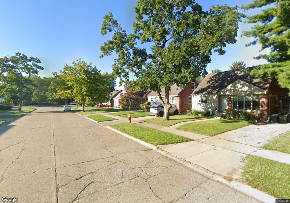
10060 Ruth Ave Allen Park, MI 48101
Estimated Value: $204,549 - $233,000
3
Beds
1
Bath
1,000
Sq Ft
$219/Sq Ft
Est. Value
About This Home
This home is located at 10060 Ruth Ave, Allen Park, MI 48101 and is currently estimated at $219,387, approximately $219 per square foot. 10060 Ruth Ave is a home located in Wayne County with nearby schools including Lindemann Elementary School, Allen Park Middle School, and Allen Park High School.
Ownership History
Date
Name
Owned For
Owner Type
Purchase Details
Closed on
Sep 11, 2009
Sold by
Davis Paul R
Bought by
Mendrysa John
Current Estimated Value
Purchase Details
Closed on
Sep 9, 2009
Sold by
Davis Wade C and Davis Carol B
Bought by
Davis Paul R
Create a Home Valuation Report for This Property
The Home Valuation Report is an in-depth analysis detailing your home's value as well as a comparison with similar homes in the area
Home Values in the Area
Average Home Value in this Area
Purchase History
| Date | Buyer | Sale Price | Title Company |
|---|---|---|---|
| Mendrysa John | $78,500 | Title One Inc | |
| Davis Paul R | -- | Title One Inc |
Source: Public Records
Tax History Compared to Growth
Tax History
| Year | Tax Paid | Tax Assessment Tax Assessment Total Assessment is a certain percentage of the fair market value that is determined by local assessors to be the total taxable value of land and additions on the property. | Land | Improvement |
|---|---|---|---|---|
| 2025 | $2,300 | $87,500 | $0 | $0 |
| 2024 | $2,300 | $82,500 | $0 | $0 |
| 2023 | $2,198 | $75,300 | $0 | $0 |
| 2022 | $2,635 | $67,400 | $0 | $0 |
| 2021 | $2,560 | $62,700 | $0 | $0 |
| 2020 | $2,532 | $57,100 | $0 | $0 |
| 2019 | $2,513 | $54,300 | $0 | $0 |
| 2018 | $1,974 | $47,500 | $0 | $0 |
| 2017 | $968 | $46,900 | $0 | $0 |
| 2016 | $2,456 | $45,100 | $0 | $0 |
| 2015 | $3,871 | $41,400 | $0 | $0 |
| 2013 | $3,750 | $39,600 | $0 | $0 |
| 2012 | $2,016 | $38,200 | $10,900 | $27,300 |
Source: Public Records
Map
Nearby Homes
- 10045 Ruth Ave
- 10005 Sterling Ave
- 9854 Sterling Ave
- 15701 Crescent Ave
- 9964 Fox Ave
- 15823 Rose Dr
- 15941 Promenade Ave
- 9892 Hubert Ave
- 9876 Hubert Ave
- 9684 Fox Ave
- 9325 Ruth Ave
- 9280 Ruth Ave
- 0000 Reeck Rd
- 9260 Ruth Ave
- 9869 Melbourne Ave
- 9299 Becker Ave
- 11188 Kennebec Ave
- 9347 Chatham Ave
- 11248 Kennebec Ave
- 9250 Rosedale Blvd