10061 N Spike Fork Cir Palmer, AK 99645
Buffalo Soapstone NeighborhoodEstimated Value: $302,000 - $687,232
--
Bed
--
Bath
1,054
Sq Ft
$526/Sq Ft
Est. Value
About This Home
This home is located at 10061 N Spike Fork Cir, Palmer, AK 99645 and is currently estimated at $554,744, approximately $526 per square foot. 10061 N Spike Fork Cir is a home with nearby schools including Palmer High School, Sherrod Elementary School, and Palmer Middle School.
Ownership History
Date
Name
Owned For
Owner Type
Purchase Details
Closed on
Jan 24, 2014
Sold by
Troy Davis Homes Inc
Bought by
Copeland Jeffrey and Copeland Lanita
Current Estimated Value
Home Financials for this Owner
Home Financials are based on the most recent Mortgage that was taken out on this home.
Original Mortgage
$510,545
Outstanding Balance
$386,720
Interest Rate
4.4%
Mortgage Type
VA
Estimated Equity
$168,024
Purchase Details
Closed on
Oct 7, 2013
Sold by
Copeland Jeffrey J and Copeland Lanita
Bought by
Troy Davis Homes Inc
Home Financials for this Owner
Home Financials are based on the most recent Mortgage that was taken out on this home.
Original Mortgage
$377,000
Interest Rate
4.55%
Mortgage Type
Construction
Create a Home Valuation Report for This Property
The Home Valuation Report is an in-depth analysis detailing your home's value as well as a comparison with similar homes in the area
Home Values in the Area
Average Home Value in this Area
Purchase History
| Date | Buyer | Sale Price | Title Company |
|---|---|---|---|
| Copeland Jeffrey | -- | Atga | |
| Troy Davis Homes Inc | -- | None Available |
Source: Public Records
Mortgage History
| Date | Status | Borrower | Loan Amount |
|---|---|---|---|
| Open | Copeland Jeffrey | $510,545 | |
| Previous Owner | Troy Davis Homes Inc | $377,000 |
Source: Public Records
Tax History Compared to Growth
Tax History
| Year | Tax Paid | Tax Assessment Tax Assessment Total Assessment is a certain percentage of the fair market value that is determined by local assessors to be the total taxable value of land and additions on the property. | Land | Improvement |
|---|---|---|---|---|
| 2025 | $5,106 | $523,700 | $49,500 | $474,200 |
| 2024 | $5,106 | $511,100 | $49,500 | $461,600 |
| 2023 | $4,749 | $491,400 | $49,500 | $441,900 |
| 2022 | $4,556 | $447,000 | $49,500 | $397,500 |
| 2021 | $4,481 | $395,400 | $49,500 | $345,900 |
| 2020 | $4,321 | $366,400 | $49,500 | $316,900 |
| 2019 | $4,291 | $360,000 | $49,500 | $310,500 |
| 2018 | $4,157 | $347,100 | $49,500 | $297,600 |
| 2017 | $4,153 | $350,800 | $49,500 | $301,300 |
| 2016 | $4,023 | $350,800 | $49,500 | $301,300 |
| 2015 | $558 | $342,100 | $49,500 | $292,600 |
| 2014 | $558 | $329,700 | $49,500 | $280,200 |
Source: Public Records
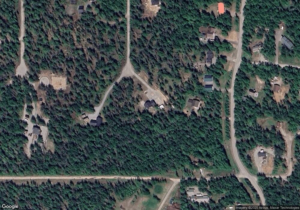
Map
Nearby Homes
- 9150 N Liten Gata Cir
- 13460 E Cayuga Ave
- 13400 E Cayuga Ave
- 13336 E Cayuga Ave
- 13304 E Cayuga Ave
- 8240 N Mohawk St
- 10677 E Mystical View Cir
- 8312 N Glory Bluff Dr
- 12034 E Quarterstrap Cir
- 6230 N Crupperdock Dr
- 6235 N Wolverine Rd
- 4284 S Burma Rd
- 9541 E Hatchers Landing Ave
- 9365 E Hatchers Landing Ave
- 9475 E Hatchers Landing Ave
- 12361 Biscane Dr
- 4450 N Glenn Hwy
- 8752 E Snowbird Cir
- 8511 E Gold Bullion Blvd
- 6970 N Radiant Dawn Cir
- 10062 N Spike Fork Cir
- 10000 N Buffalo Mine Rd
- 10030 N Buffalo Mine Rd
- 13825 E Corto Camino Ave
- 10060 N Buffalo Mine Rd
- 13830 E Corto Camino Ave
- 10100 N Buffalo Mine Rd
- 10055 N Brow Tine Cir
- 13900 E Moyen Ruelle Ct
- 13931 E Corto Camino Ave
- 9830 N Buffalo Mine Rd
- B002 N Spike Fork Cir
- B003 N Spike Fork Cir
- L3 N Spike Fork Cir
- 10127 N Spike Fork Cir
- L1 B1 Buffalo Mine Rd
- 13930 E Moyen Ruelle Ct
- 10130 N Buffalo Mine Rd
- 9800 N Buffalo Mine Moose Creek Rd
- 9800 N Buffalo Mine Rd