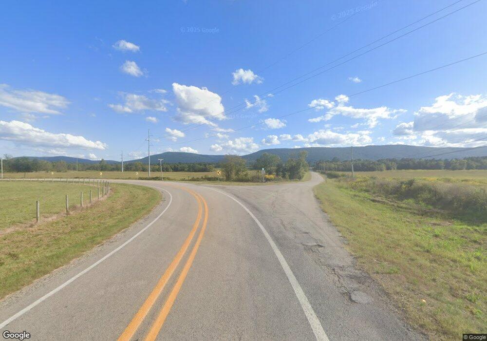
10065 Highway 378 Mansfield, AR 72944
Estimated Value: $77,876 - $141,000
--
Bed
1
Bath
1,477
Sq Ft
$74/Sq Ft
Est. Value
About This Home
This home is located at 10065 Highway 378, Mansfield, AR 72944 and is currently estimated at $109,438, approximately $74 per square foot. 10065 Highway 378 is a home located in Scott County with nearby schools including Mansfield Elementary School, Mansfield Middle School, and Mansfield High School.
Ownership History
Date
Name
Owned For
Owner Type
Purchase Details
Closed on
Feb 4, 2007
Sold by
White Andrea
Bought by
Vanriper Glen
Current Estimated Value
Purchase Details
Closed on
Jan 10, 2004
Bought by
Vanriper Glen
Purchase Details
Closed on
Sep 29, 2003
Bought by
Vanriper Glen
Purchase Details
Closed on
Jun 2, 1992
Bought by
Vanriper Richard and Vanriper Nora
Purchase Details
Closed on
Mar 9, 1976
Bought by
Vanriper Vanriper L and Vanriper E
Create a Home Valuation Report for This Property
The Home Valuation Report is an in-depth analysis detailing your home's value as well as a comparison with similar homes in the area
Home Values in the Area
Average Home Value in this Area
Purchase History
| Date | Buyer | Sale Price | Title Company |
|---|---|---|---|
| Vanriper Glen | -- | None Available | |
| Vanriper Glen | -- | -- | |
| Vanriper Glen | -- | -- | |
| Vanriper Richard | -- | -- | |
| Vanriper Vanriper L | -- | -- |
Source: Public Records
Tax History Compared to Growth
Tax History
| Year | Tax Paid | Tax Assessment Tax Assessment Total Assessment is a certain percentage of the fair market value that is determined by local assessors to be the total taxable value of land and additions on the property. | Land | Improvement |
|---|---|---|---|---|
| 2024 | $35 | $5,390 | $1,310 | $4,080 |
| 2023 | $35 | $5,390 | $1,310 | $4,080 |
| 2022 | $35 | $5,390 | $1,310 | $4,080 |
| 2021 | $35 | $5,390 | $1,310 | $4,080 |
| 2020 | $287 | $6,700 | $1,280 | $5,420 |
| 2019 | $35 | $6,700 | $1,280 | $5,420 |
| 2018 | $35 | $6,700 | $1,280 | $5,420 |
| 2017 | $285 | $5,420 | $1,280 | $4,140 |
| 2015 | -- | $6,480 | $1,070 | $5,410 |
| 2014 | -- | $6,480 | $1,070 | $5,410 |
| 2013 | -- | $6,480 | $1,070 | $5,410 |
Source: Public Records
Map
Nearby Homes
- 1820 Nells Way
- TBD LOT 15 Lake Spur Rd
- TBD LOT 16 Lake Spur Rd
- 13415 Harmon Village Ct E
- TBD Broadway
- TBD Lake Spur Dr
- 11917 Highway 378
- TBD Persimmon Hill Rd
- Tbd Broadway St
- 515 Bear Fry Loop
- 001 Broadway St
- 411 S 7th Ave
- 800 Broadway St
- 513 Park Ave
- 324 Park Ave
- 1000 E Center St
- 2028 Marit St
- 510 Darlene Dr
- 001 Hwy 71 South U S Highway 71
- TBD U S Highway 71
- 10000 Highway 378
- 13047 Wildwood Rd
- 12679 Wildwood Rd
- 12960 Wildwood Rd
- 13340 Wildwood Rd
- 10812 Highway 378
- 13316 Wildwood Rd
- 13274 Wildwood Rd
- 13323 Wildwood Rd
- 12578 Wildwood Rd
- 6801 Free Ferry Rd
- 12468 Wildwood Rd
- 11362 Highway 378
- 11550 Agape Valley Way
- 13285 Rupe Rd
- 12001 Wildwood Rd
- 12877 Henley Rd
- 8665 Highway 378
- 8158 Spain Ln
- 9092 Spain Ln
