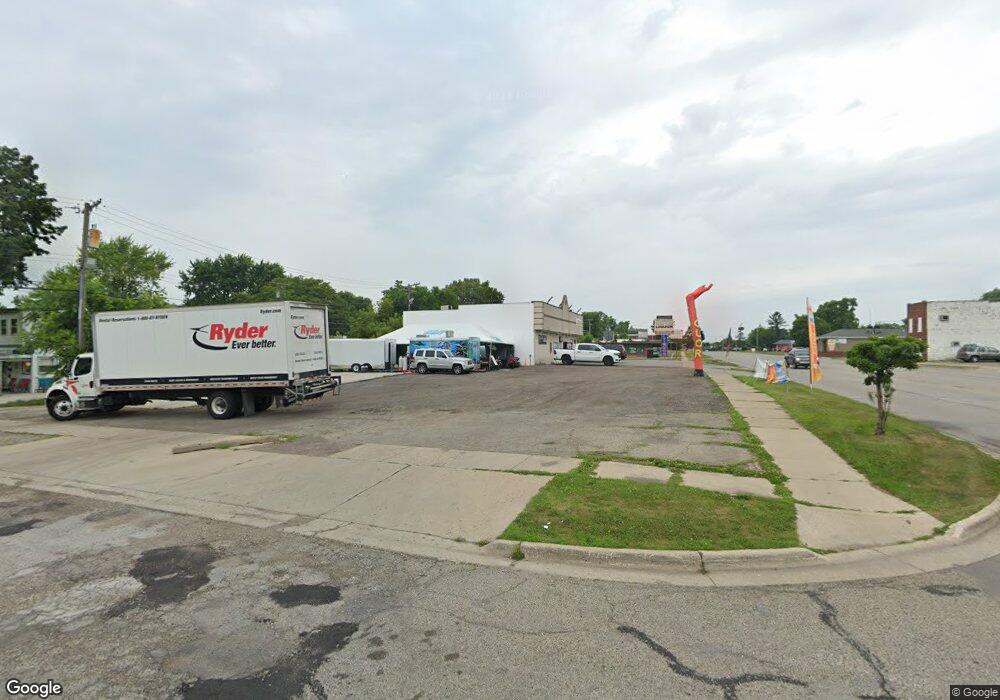
1007 Baldwin Ave Pontiac, MI 48340
Estimated Value: $301,000 - $337,403
--
Bed
--
Bath
2,810
Sq Ft
$114/Sq Ft
Est. Value
About This Home
This home is located at 1007 Baldwin Ave, Pontiac, MI 48340 and is currently estimated at $319,202, approximately $113 per square foot. 1007 Baldwin Ave is a home located in Oakland County with nearby schools including Owen Elementary School, Pontiac Middle School, and Pontiac High School.
Ownership History
Date
Name
Owned For
Owner Type
Purchase Details
Closed on
Mar 4, 2022
Sold by
Bob Bs Party Rentals Llc
Bought by
1007 Baldwin Llc
Current Estimated Value
Purchase Details
Closed on
Jan 13, 2012
Sold by
Scott Brian
Bought by
Bob B S Party Rentals Llc
Purchase Details
Closed on
Jan 11, 2012
Sold by
S Scott Llc
Bought by
Scott Brian
Purchase Details
Closed on
Aug 29, 2011
Sold by
Jimenez Tires Repair Inc
Bought by
Scott Brian
Purchase Details
Closed on
Sep 29, 2005
Sold by
Michigan Microtech Inc
Bought by
Scott Llc
Purchase Details
Closed on
Feb 7, 2001
Sold by
Christenson Peter
Bought by
Michigan Microtech Inc
Create a Home Valuation Report for This Property
The Home Valuation Report is an in-depth analysis detailing your home's value as well as a comparison with similar homes in the area
Home Values in the Area
Average Home Value in this Area
Purchase History
| Date | Buyer | Sale Price | Title Company |
|---|---|---|---|
| 1007 Baldwin Llc | $250,000 | -- | |
| Bob B S Party Rentals Llc | $80,000 | None Available | |
| Scott Brian | -- | None Available | |
| Scott Brian | -- | None Available | |
| Scott Brian | -- | None Available | |
| Scott Llc | -- | Interstate Title Inc | |
| Michigan Microtech Inc | $155,000 | -- |
Source: Public Records
Tax History Compared to Growth
Tax History
| Year | Tax Paid | Tax Assessment Tax Assessment Total Assessment is a certain percentage of the fair market value that is determined by local assessors to be the total taxable value of land and additions on the property. | Land | Improvement |
|---|---|---|---|---|
| 2024 | $656 | $11,960 | $0 | $0 |
| 2023 | $4,351 | $79,170 | $0 | $0 |
| 2022 | $3,765 | $75,710 | $0 | $0 |
| 2021 | $3,649 | $73,540 | $0 | $0 |
| 2020 | $3,546 | $72,090 | $0 | $0 |
| 2019 | $3,597 | $70,460 | $0 | $0 |
| 2017 | $3,362 | $65,100 | $0 | $0 |
| 2015 | -- | $59,250 | $0 | $0 |
| 2014 | -- | $59,060 | $0 | $0 |
| 2011 | -- | $72,290 | $0 | $0 |
Source: Public Records
Map
Nearby Homes
- 33 W Beverly Ave
- 18 E 18 E Rutgers Ave
- 110 W Tennyson Ave
- 109 W Kennett Rd
- 119 W Kennett Rd
- 134 W Fairmount Ave
- 117 W Strathmore Ave
- 112 W Strathmore Ave
- 998 Dewey St
- 137 Dresden Ave
- 141 Parkdale Ave
- 236 W Cornell Ave
- 207 W Strathmore Ave
- 0 S Merrimac St Unit 20250035082
- 201 Parkdale Ave
- 255 W Rutgers Ave
- 240 W Fairmount Ave
- 216 W Longfellow Ave
- 240 W Longfellow Ave
- 18 E Hopkins Ave
- 20 W Beverly Ave
- 24 W Beverly Ave
- 21 W Cornell Ave
- 989 Baldwin Ave
- 32 W Beverly Ave
- 25 W Cornell Ave
- 29 W Cornell Ave
- 0000 E Cornell Ave
- 00 E Cornell Ave
- 0 E Cornell Ave
- 0 E Cornell Ave
- 1014 Baldwin Ave
- 29 W Beverly Ave
- 33 W Cornell Ave
- 36 W Beverly Ave
- 1022 Baldwin Ave
- 981 Baldwin Ave
- 988 Baldwin Ave
- 17 E Beverly Ave
- 37 W Cornell Ave