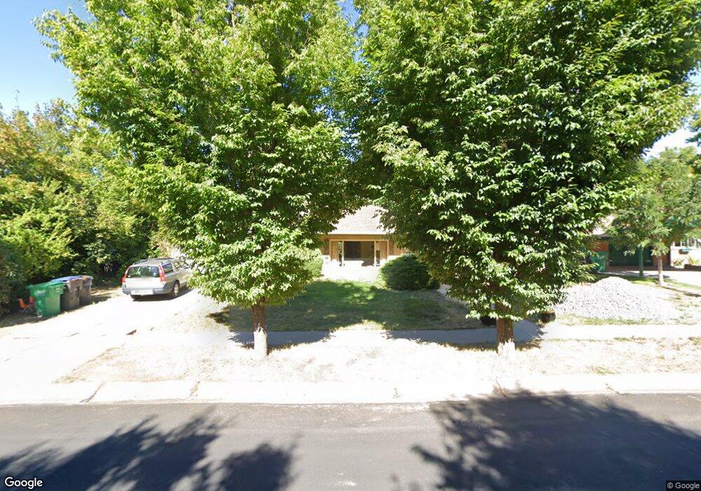
1007 E Fir Cir Provo, UT 84604
Wasatch NeighborhoodEstimated Value: $547,000 - $676,802
3
Beds
1
Bath
1,480
Sq Ft
$414/Sq Ft
Est. Value
About This Home
This home is located at 1007 E Fir Cir, Provo, UT 84604 and is currently estimated at $612,201, approximately $413 per square foot. 1007 E Fir Cir is a home located in Utah County with nearby schools including Wasatch Elementary School, Centennial Middle School, and Timpview High School.
Ownership History
Date
Name
Owned For
Owner Type
Purchase Details
Closed on
Jan 18, 2024
Sold by
Carter Karen Diane
Bought by
Karen Diane Carter Investment Trust and Lowe
Current Estimated Value
Purchase Details
Closed on
Aug 24, 2006
Sold by
Cardon David A and Cardon Donna L
Bought by
Carter Karen Diane
Home Financials for this Owner
Home Financials are based on the most recent Mortgage that was taken out on this home.
Original Mortgage
$159,200
Interest Rate
6.7%
Mortgage Type
Stand Alone First
Purchase Details
Closed on
Jul 15, 1999
Sold by
Crowton David M and Crowton Louise H
Bought by
Cardon David A and Cardon Donna L
Home Financials for this Owner
Home Financials are based on the most recent Mortgage that was taken out on this home.
Original Mortgage
$152,775
Interest Rate
7.4%
Create a Home Valuation Report for This Property
The Home Valuation Report is an in-depth analysis detailing your home's value as well as a comparison with similar homes in the area
Home Values in the Area
Average Home Value in this Area
Purchase History
| Date | Buyer | Sale Price | Title Company |
|---|---|---|---|
| Karen Diane Carter Investment Trust | -- | None Listed On Document | |
| Carter Karen Diane | -- | Backman | |
| Cardon David A | -- | Security Title & Abstract |
Source: Public Records
Mortgage History
| Date | Status | Borrower | Loan Amount |
|---|---|---|---|
| Previous Owner | Carter Karen Diane | $159,200 | |
| Previous Owner | Cardon David A | $152,775 |
Source: Public Records
Tax History Compared to Growth
Tax History
| Year | Tax Paid | Tax Assessment Tax Assessment Total Assessment is a certain percentage of the fair market value that is determined by local assessors to be the total taxable value of land and additions on the property. | Land | Improvement |
|---|---|---|---|---|
| 2025 | $3,011 | $314,875 | $239,000 | $333,500 |
| 2024 | $3,011 | $296,395 | $0 | $0 |
| 2023 | $2,282 | $221,485 | $0 | $0 |
| 2022 | $2,325 | $227,480 | $0 | $0 |
| 2021 | $1,886 | $321,800 | $186,600 | $135,200 |
| 2020 | $1,761 | $281,800 | $149,300 | $132,500 |
| 2019 | $1,590 | $264,500 | $149,300 | $115,200 |
| 2018 | $1,437 | $242,400 | $142,200 | $100,200 |
| 2017 | $1,354 | $125,510 | $0 | $0 |
| 2016 | $1,238 | $107,030 | $0 | $0 |
| 2015 | $1,189 | $103,895 | $0 | $0 |
| 2014 | $1,120 | $101,970 | $0 | $0 |
Source: Public Records
Map
Nearby Homes
- 1604 N Willow Ln
- 1175 N Locust Ln
- 1205 N Old Willow Ln
- 1174 Oakmont Ln
- 915 E 820 N Unit 24
- 1040 N Oakmont Ln
- 761 E 820 N Unit 214
- 2040 Oakcrest Terrace
- 360 Sumac Ln
- 1235 E 820 N
- 1754 N 1550 E
- 1559 Oak Cliff Dr
- 788 E 750 N Unit 1
- 943 N Terrace Dr
- 664 E 2320 N
- 260 E 2100 N
- 1215 N Terrace Dr
- 617 N Seven Peaks Blvd Unit 10
- 2254 N 390 E
- 182 E 2090 N